Journal of My 2013 China Expedition Part IV (Qinghai)
Journal of My 2013 China Expedition Part IV (Qinghai)
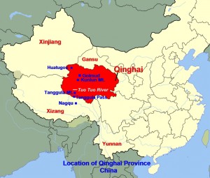
Journey in Qinghai Province, China
(Day 18 – 19)
Day 18 (Sunday, 1.9.2013)
Nagqu – Golmud
(Distance: 860 km)
The first part of our journey, today, would be in the mountainous area of over 4500 m above sea-level in northern Nagqu Prefecture in Tibet and southern Qinghai Province on the northern Tibet Plateau.
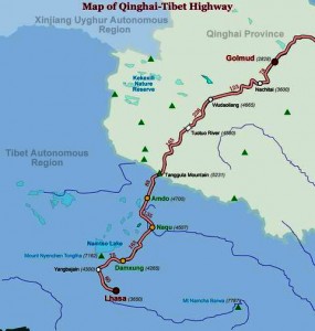
First, we would go up Tanggula Mountain Range on the Qinghai-Tibet border from Nagqu City(4507 m) where we had stayed overnight, and then down all the way to Golmud City(2828 m) in central Qinghai Province, a long journey of 860 km that would take us more than half a day.
We would be travelling on the Qinghai-Tibet Highway that was running parallel to the Qinghai-Tibet Railway. The latter was built from Xining via Golmud in the north in Qinghai Province to Lhasa in the south in Tibet, a total distance of 1947 km.
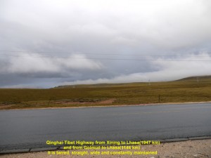
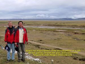
At 6.40 a.m. we left Nagqu City, and headed north on the Qinghai-Tibet Highway. Most of the the road was good because it was tarred, wide, straight and level. While we were travelling in the mountainous area we did not see any dwellings and the flat vast lands were barren due to cold, high altitude and thin air.
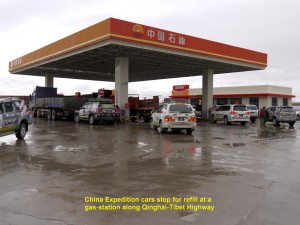
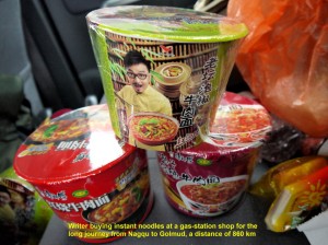
At 9.30 a.m. we arrived at Amdo where we stopped at a gas-station for cars to be refilled. As we did not intend to make many stops on the journey then, we bought a few cups of instant noodle at the shop of the station.
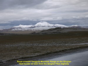
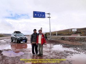
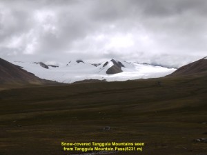
Several minutes later, we were off again on the highway. Then two hours later, we reached the Tanggula Pass(5231 m above sea-level) which was on the Qinghai-Tibet border. It was the highest elevation we had reached so far. We stopped at the place for a while to see the surroundings where the ground was wet, barren and uninhabited, and snow-covered mountains of Tanggula could be seen nearby.
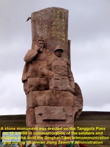
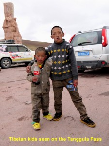
Erected on the pass was a large red stone monument of a soldier and civilian. It commemorated the soldiers and civilians who had built the Qinghai-Tibet telecommunication line in 1998 during Chairman Jiang Zemin’s administration. Besides, there was a small tea-house for passers-by. We met two curious Tibetan kids there. They were helping their parents at the tea-house.
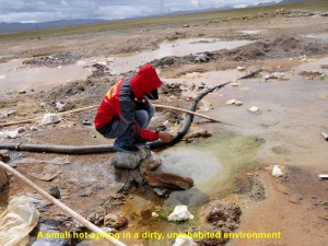
Later, we were on the highway again going down Tanggula Mountain Range. After several minutes of travelling, we went off the highway to a spot nearby to see a hot spring. But we were disappointed when we saw the hot spring which was small and the surrounding was dirty and littered with garbage.
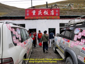
Then we went back to the highway, and at 1.20 p.m. we reached a small restaurant where we had a simple meal. After the meal, we were off again.
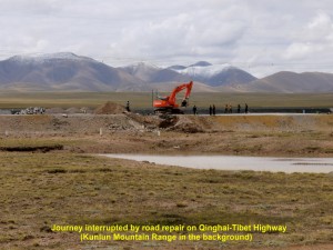
At 3.00 p.m. our journey was interrupted. Workers were busy repairing a damaged part of a highway, while many vehicles were waiting on both sides. As we still had a few more hundreds of km to travel, we could not wait for that part of the highway to be ready. So we went off the highway and travelled on the uneven land hoping that none of our cars would get stuck in the soft ground. Finally, we managed to get to the other side of the road after rocking, roughly, a few times in the cars.
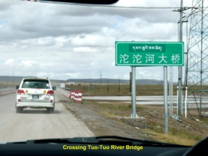
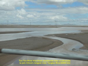
Soon we crossed a long, low bridge that was over a wide river known as Tuo Tuo River. It flowed westwards and then southwards to join Yangtze River(6400 km long), China’s longest river.
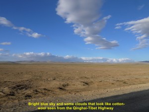
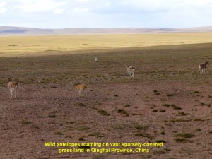
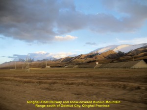
As we were travelling on the highway, we could see blue sky and lots of clouds that looked like cotton-wool floating in the sky, slowly. On both sides of the road, we could see vast flat lands that stretch beyond the horizons. Besides, we saw snow-covered mountain range of Kunlun(over 7500 m above sea-level) far away in the west, and occasionally, trains running on the Qinghai-Tibet Railway. There was a moment when we saw several wild antelopes on the flat land that was sparsely covered with grass.
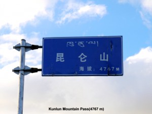
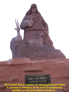
At 7.30 in the evening we reached a high part of the Kunlun Mountain which was 4767 m above sea-level. The place was bright, tranquil, but cold and wet, and we could see snow-covered mountains of Kunlun in the distance. Erected at the place was a large purple statue of a man, Jiesung Suonam Dajie, who was known as ” Environmental Protection Guard” of wildlife and the Qinghai Nature Reserve.
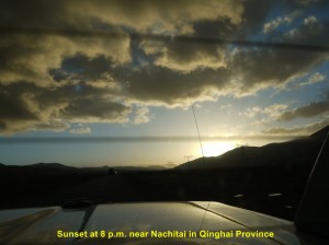
Having seen enough of the place for a short while, we went down the mountain and were travelling on the highway which was busy then. I estimated that it would be about two more hours before we reached our destination, Golmud City. While we were travelling on the level straight stretch of the highway, we could see the sun setting behind some hills in the distance at 8 p.m. and trucks with bright lights passing by.
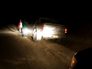
It was very dark at 9 p.m. when we were quite near Golmud City. Then at a dusty bend on a hill, while we were going down, our car, suddenly, veered off the road, and the two right wheels followed by the two left wheels went in and out of a deep trench.
As our driver was trying to get the wheels out of the trench, the fellow-member sitting next to him and I on the back seat were rocking, violently, for a few minutes inside the car. When the car stopped, suddenly, I was thrown forward into a space in between the driver’s seat and the back one, and, luckily, I was unhurt. But our fellow-member had a slight cut on his forehead and his pair of spectacles was broken, when his head hit the rear mirror. Our driver was in shock and kept repeating himself “I thought the oncoming truck with bright lights was crossing into my path. So I steered the car to the side to avoid it.”
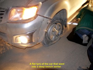
We were all stunned for a short moment before we came out of the car to check its damages. The tyre of the front left wheel was flat. Two of our China-guides who were following behind us earlier came to help to replace it with a spared one. We thanked our lucky stars as none of us suffered any serious injury, and the trench helped to stop our car from going over a cliff.
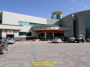
At 11.50 p.m. we were glad to arrive at a hotel, Salt Lake Hotel, in Golmud City in Qinghai Province, where we took our late dinner and stayed for a night.
Day 19 (Monday, 2.9.2013)
Golmud – Huatugou
(Distance: 458 km)
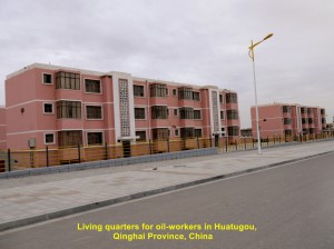
Today we were going to Huatugou which was 458 km north-west of Golmud city and near the Qinghai-Xinjiang border. The town was in an oil-rich region of Gobi Desert, and had many living quarters built, specially, for oil-workers from near and far in China.
After a good night rest without any bad dream of the previous night incident, I felt rejuvenated in the morning. At 12.40 p.m. we all left Salt Lake Hotel in Golmud City for another long journey to Huatugou.
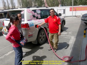
Before our journey began, we went to a gas-station to get the cars refilled. As the gas-station were short of workers some of our members pumped oil into their own cars themselves. Soon our journey started.
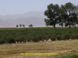
As we were moving in the outskirt of the busy city, we saw red date farms on both sides of the road.
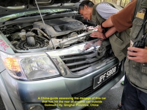
After about half an hour later, one of our expedition cars, accidentally, hit the back of another, and there was a slight delay of the journey. The damaged car had to go back to the city to get its radiator repaired. The rest of the cars then continued the journey and we hoped that the car when repaired would catch up with us later.
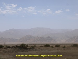
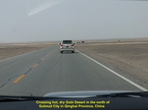
As we were travelling north and then eastwards we were crossing some changing landscapes from a vast flat arid plain with little vegetation to a sandy one devoid of plants, a part of the Gobi Desert.
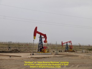
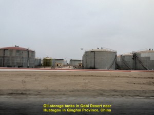
When we were close to Huatugou we saw “donkeys” which were machines that continuously moving up and down, pumping out oil from the underground in Gobi Desert. But the Chinese called them “Head Bowing Machines” instead. Besides, we saw many large circular oil-storage tanks in the desert, showing that Gobi Desert was rich in oil.
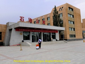
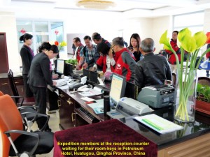
As the journey was smooth we arrived at 7 in the evening at a hotel, Petroleum Hotel, in Huatugou, and stayed there for a night.
Journal of My 2013 China Expedition:
Written by Choo Chaw, Kluang, Johor, Malaysia

