Journal of My 2013 China Expedition Part III (Tibet)
Journal of My 2013 China Expedition Part III (Tibet)
(15.8.2013 – 17.9.2013)
Part III
Tibet Journey(Day 11 – 17)
Day 11(25.8.2013, Sunday)
Deqin – Zuo Gong
(Distance: 385 km)
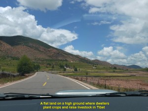
Today it would be a long and difficult journey again, a journey that we had to go to higher ground known as the “Roof of the World” or the Tibetan Plateau of over 4ooo m above sea-level.
Yesterday, we travelled from Lijiang to Deqin where we stayed for a night at Jing Tian Tang Hotel on a high mountain in north-east Yunnan.
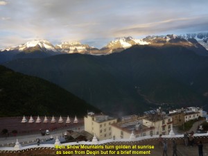
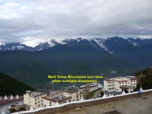
Today, we woke up early. At 7 a.m. while the sun was rising, we went outside the hotel and were awe-stricken by the breathtaking scene of Meili Snow Mountains in the south-west. The mountains were golden in colour for several minutes. But when the sunlight disappeared, they turned blue. We, patiently, waited for a while for the change to happen. Owing to many clouds in the sky, the mountains still remained blue.
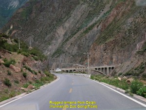
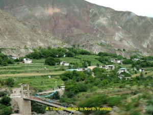
At 8 a.m. we left the hotel and moved down a winding road and then up again. Occasionally, we passed through villages, travelled on roads parallel to rivers, crossed bridges and went through a few tunnels. We stopped at one or two gas-stations for the cars to be refilled.
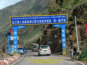
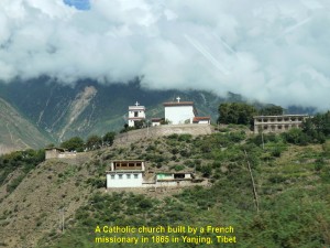
After travelling for three hours in the morning, we crossed a Tibetan border and stopped at a checkpoint where some soldiers checked some of our cars. Then we moved on again to Zuo Gong Town. Several minutes later, in Markam County, Tibet, we saw a Catholic church on a hill in the distance. It was white-washed with two prominent crosses. According to our China guide, it was built by a French missionary, Felix Biet(1838-1901) in 1865 in a Yanjing village or “Yerkalo” village. It was the only Catholic church in the Buddhist country of Tibet. About half of the villagers had become Catholic(500).
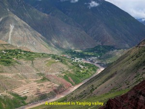
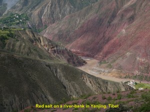
We did not stop to look at the church until we came to a place where we could see from a high ground a river in another village in a valley of Yanjing. That river had red salt on its banks. In the olden days, that salt was an important commodity which attracted traders from near and far creating a salt route in Markam(Mang Kang) County.
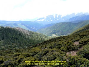
Then we continued our journey . Later, we stopped at another place where we saw a forest reserve, Mang Kang Nature Reserve, from a vantage-point. In that forest, over 2000 snub-nosed monkeys lived.
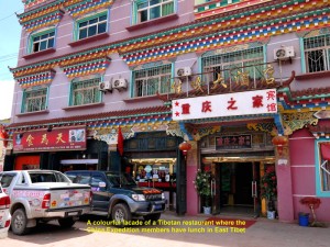
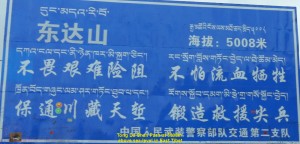
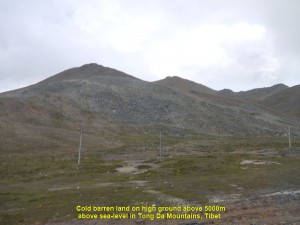
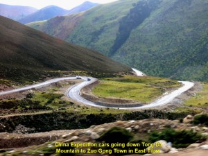
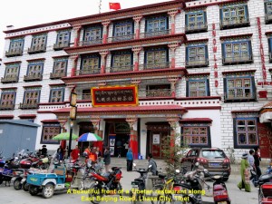
At 12.30 p.m. we left the nature reserve and travelled for an hour and a half before we arrived at a Tibetan restaurant with colourful facade in a town. After our lunch in that restaurant we moved on again. This time we had to go up a mountain pass at 5008 metres above sea-level, Tong Da Shan Pass, and then down the mountain to a town known as Zuo Gong.
When we reached the high pass at 6 p.m. we alighted our cars and looked at the scenes around us. We saw high mountains in the distance, and barren but permafrost-land around us. The air around us was windy and chilly.
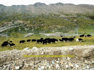
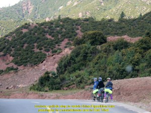
A few minutes later, we made our way down a winding road. On the way we saw cyclists and hitch-hikers travelling west to Lhasa, and passed villages, farms and grasslands where yaks grazed.
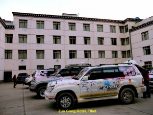
Soon we reached Zuo Gong in the evening, had dinner and stayed at Zuo Gong Hotel for a night.
Day 12 (26.8.2013, Monday)
Zuo Gong – Chang Du
(Distance: 252 km)
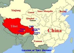
Today, we would be taking Route 317 to Lhasa via Tinjin in the north, instead of a shorter one, Route 318 via Pome in the west of Zuo Gong. It was because of a bridge that had collapsed near Pome making the road impassable, and our journey to Lhasa would be over 200 km longer.
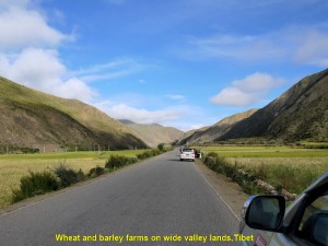
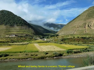
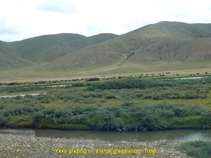
At 8 a.m. we left Zuo Gong and headed north for Chang Du first. On the way, we came across Tibetan villages, wheat and barley farms and grasslands where the yaks grazed.
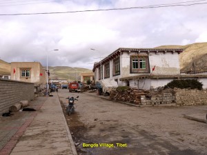
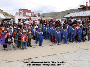
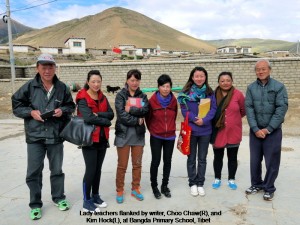
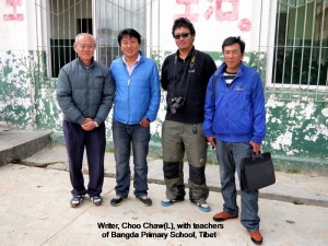
After two hours of travelling, we stopped at a small village, Bangda, and visited a small school. We were warmly welcomed by over 100 children and a few staff. We spent some time interacting with them. Before we left, we gave away some presents to them.
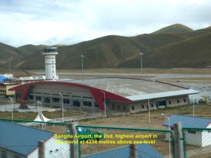
On the way to Chang Du, we came across more villages and farms. There were large grasslands where thousands of yaks were raised by Tibetan nomads. Several kilometres north of Bangda, we saw the 2nd. highest airport in the world, Bangda Airport, at 4334 m above sea-level.
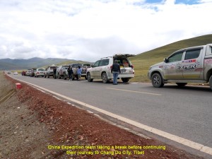
Occasionally, we stopped by a roadside for a short break answering a call of nature and, at the same time, enjoying breathing in fresh air and sights of picturesque natural landscapes.
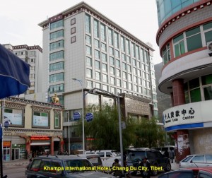
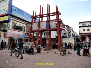
Having travelled for several hours, we, finally, arrived at Chang Du City at 2.30 p.m. where we checked in at a hotel, Khampa International Hotel.
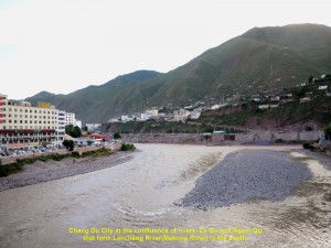
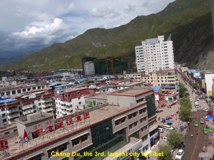
Chang Du City, the 3rd. largest city in Tibet, is located at the confluence of two rivers, Za Qu and Ngom Qu. These rivers flow south and later join up with Lanchang River(Upper Mekong River). After checking in at the hotel, we went out and walked along some streets for sightseeing. Then at 6.30 p.m. we had dinner together at a restaurant near the hotel.
We stayed at the hotel for a night before we left in the morning for Tinjin in the west.
Day 13 (27.8.2013, Tuesday)
Chang Du – Tinjin
(Distance: 248 km)
At 8 a.m. we left Chang Du and went west to Tinjin. The road to Tinjin was rough and problematic.
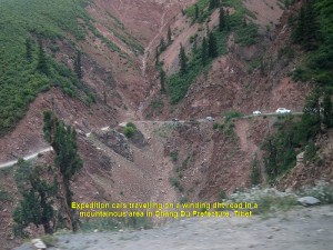
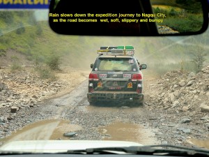
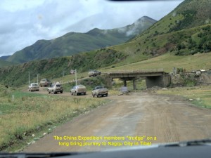
Most of it was winding and not tarred. Where the place was dry, it was dusty, and where the place was wet, it was slippery, soft and dirty. Besides, pot-holes, constant repairs and improvements of many parts of the road delayed our journey, considerably.
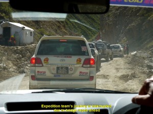
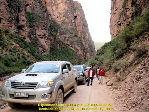
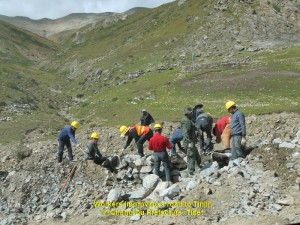
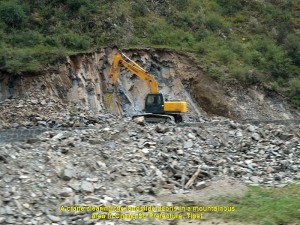
The worst problem was the landslide that covered a few short stretches of the road forcing vehicles to take temporary rough roads that bypassed them, or wait until the road was cleared of landslide-debris. Owing to all those and other unfavourable factors, our journey was not smooth, and we took a much longer time to reach Tinjin at 11.00 p.m.(a journey of 15 hours!)
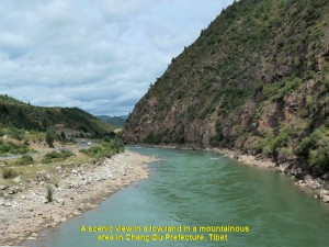
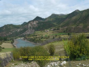
Although the journey was tough, we enjoyed the beautiful natural sceneries and picturesque villages.
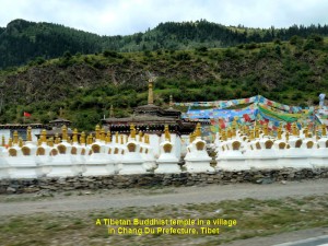
Besides, we saw Buddhist Tibetan temples, grasslands and farmlands. We were thankful to the workers we came across on the journey for repairing, improving or clearing roads of landslide-debris.
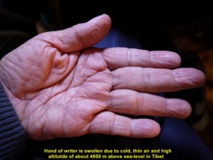
When we arrived at Tinjin at 11 p.m., we felt, completely, exhausted. Some of us felt dizzy and nauseous due to cold, thin air and high altitude of over 4000 metres above sea-level. This sickness is known as “acute mountain sickness”. To avoid this uncomfortable condition, we were advised to take a medicine we had brought along.
At night we stayed at a hotel, Tinjin Hotel, in the city.
Day 14 (28.8.2013, Wednesday)
Tinjin – Nagqu
(Distance: 380 km)
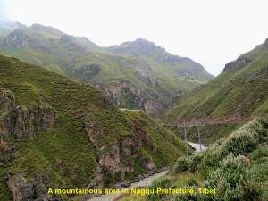
Today, it would be a much longer and worse journey than yesterday’s. Most of it was in the mountainous areas of over 3500 m above sea-level in Nagqu Prefecture.
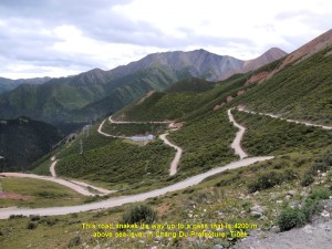
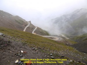
A few high passes of over 4000 m above sea-level had to be crossed before we could get to Nagqu City from Tinjin. Rain often occurred in these areas making dirt roads wet, soft, bumpy and slippery, and slowing down our journey. In spite of all those unfavourable conditions, the sights of the mountainous areas would be spectacular.
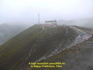
As the journey for today was going to be long, we started at 7 in the morning. We travelled along winding roads in the mountains and roads running parallel to rivers in the valleys. We went up a mountain to reach a high mountain-pass of 4200 m above sea-level, and later a higher one of about 4900 m above sea-level.
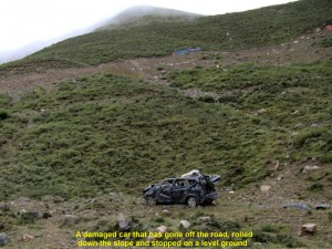
At a place, while going up a mountain, we saw a damaged car on a slope. It might have gone off a road and rolled down the slope for about 300 m before it stopped and stood on its four wheels.
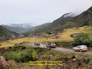
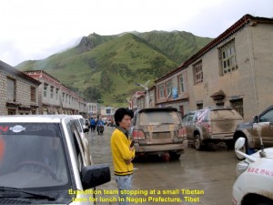
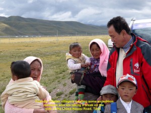
In the lowlands, we passed through villages, barley-farmlands and grasslands. At 11.30 p.m. we stopped for lunch at a small town, and another for dinner at 7.30 p.m.. We also stopped a few times on the roadsides for a short break to answer a nature call and stretch our stiff legs. Sometimes, when we stopped for a break, we met and conversed with friendly strangers.
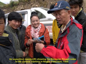
Curious Tibetans learning about Malaysian currency from an expedition member(R) in Nagqu Prefecture, Tibet
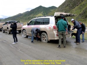
Some of our expedition cars did have some trouble, but, fortunately, they were minor ones. On one occasion, one of them had a punctured tyre and was then replaced, immediately, by three of our helpful China guides. On another occasion, another car, accidentally, brushed against a local car on a soft dirt road in a countryside, and the owner of the latter asked for an unreasonable sum for the minor damage. There was one car belonging to one of our team-members that had an alternator problem in Tinjin. It had to be ordered and sent from Malaysia to Lhasa where it was later fixed in the car in Lhasa.
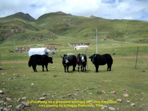
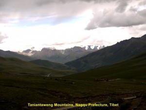
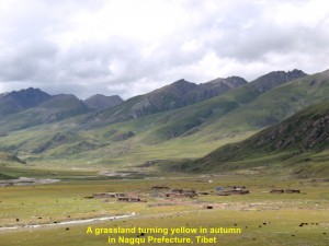
Our journey on high and low lands to Nagqu continued. For the first time in our journey, we saw yaks at close range at 3.30 p.m., and snow-capped mountains of Taniantaweng Mountains at 4,30 p.m. in Nagqu Prefecture in Tibet.
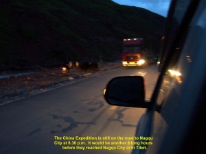
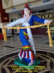
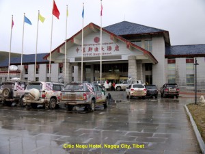
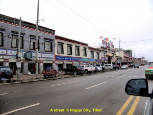
The journey from Tinjin to Nagqu City was a treacherous and unforgettable one. It took us too long to reach Nagqu City causing some of us sick. Anyway, we arrived, safely, at the city at 2.30 in the morning, after travelling a total of 19.5 hours! We checked in at Citic Naqu Hotel, immediately. The moment I entered a hotel room, I went straight for the bed, dropped onto it and slept until late morning.
Day 15 (29.8.2013. Thursday)
Nagqu – Lhasa
(Distance: 383 km)
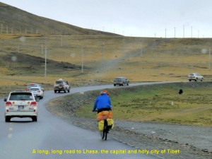
This morning we woke up very late, as we arrived late at the hotel. At 10.15 a.m. we left for Lhasa, the capital of Tibet, that is south of Nagqu City.
On the way, we saw trains running on the north-south railway a few times. That railway from Golmud to Lhasa(1142 km long) is known as Qinghai-Tibet Railway, the highest railway in the world. About 85% of it is above 4000 km above sea-level, and the highest point it reaches is 5072 m above sea-level. This engineering feat is one of China’s great achievements in this century.
It crosses three mountain ranges, many rivers and lakes, giving its passengers a chance to see many spectacular diverse natural landscape during their whole journey. Its carriages have special enriched oxygen and ultra-violet(UV) protection systems. The trains on this line travels at a speed of about 100 km/h.
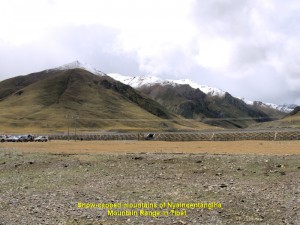
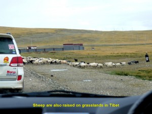
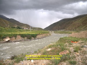
The road to Lhasa was good as it was tarred and most of it was straight and level. After two hours of travelling from Nagqu, we saw snow-capped mountains in the distance on our right. These mountains are known as Nyainqentangiha Mountains. Occasionally, rain fell making the road wet and slippery, and water in rivers flowing, rapidly. While travelling, we passed through valleys, villages and grasslands where yaks and sheep grazed.
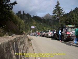
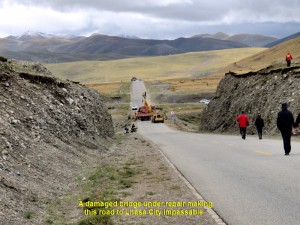
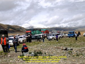
At 12.40 p.m. we reached a place where a long line of vehicles stopped on the road. Later, we learned that a bridge further down the road was damaged and under repair. Our China chief guide went to see the head of a village nearby asking for his permission to use his village road that bypassed the bridge, but he refused despite the willingness to pay him some money.
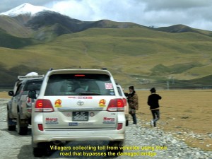
After two and a half hours had passed, the bridge was not ready yet. So our chief China guide appealed to the village-head to allow us to use his road. He relented, but we had to pay him a toll of RMB50 for each car for the maintenance of his road. We, gladly, paid him and were on our way again. Soon we were ascending a road in a mountainous area and reached a high mountain pass of 4200 m above sea-level at 4 p.m..
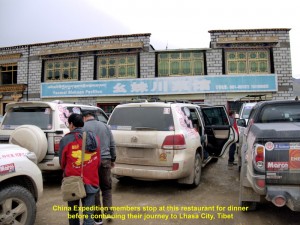
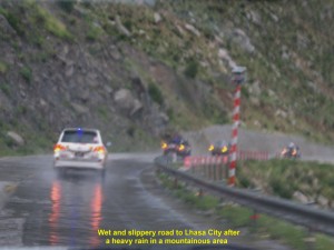
At 5.10 p.m. we arrived at Damxung where we stopped at a small restaurant for dinner. After the quick dinner, we moved on again, travelling parallel to a river and the railway. Then we were on a winding and ascending road again in another mountainous area where it was raining heavily.
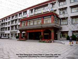
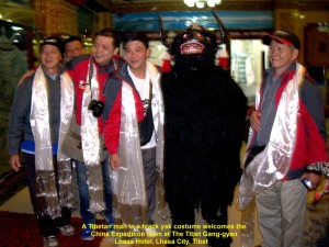
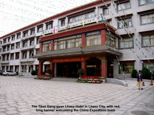
Finally, at 8.30 p.m. we arrived at Lhasa City, the capital of Tibet. We went straight to a hotel where we were warmly welcomed by the hotel staff and two men in a black yak costume performed a welcome-dance. Then we were each given a long white silk scarf as a gesture of goodwill.
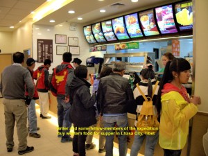
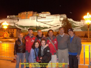
After checking in at the hotel, a few fellow-members and I walked along a main street, East Beijing Road, and stopped at a restaurant where we had western food for supper. Later, we walked to a world famous building, Potala Palace. As it was closed at night we looked at it from a distance. Built on a small hill, it was large and brightly-lit. Later, we took trishaws back to the hotel.
Day 16 (30.8.2013, Friday)
Lhasa Citiy Tour
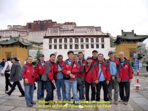
Today, it would be a relaxing day. We were going to visit two famous tourists’ places of attraction, Potala Palace and Jokhang Temple in Lhasa City.
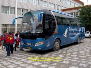
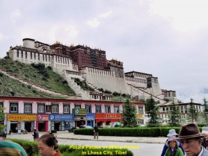
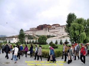
At 9 in the morning, a bus brought us to Potala Palace. It is a large, unique, majestic-looking building. Built on a mountain(Marpo RI), it has 13 storeys that house statues of Buddha and past Dalai Lamas, shrines, religious murals, scriptures, libraries, etc. At the top storey of the building is the Dalai Lama’s office. (The present 14th. Dalai Lama is in exile in India since the 1959 Tibetan uprising.)
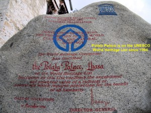
It was built by a king for his two wives in 1645. Later, it became an important Tibetan political and religious centre. Now it is a famous Tibetan Buddhist museum. In 1994, it was designated by UNESCO as a “World Heritage Site”. It attracts over 2 000 Buddhist pilgrims and tourists, daily.
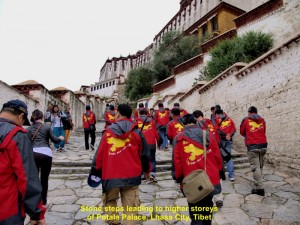
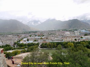
At 10.30 a.m., we entered the palace. We walked up narrow wooden steps to a few storeys to learn about the Tibetan Buddhism and present and past Dalai Lamas. A panoramic view of the city could be seen from Potala Palace.
At 12 noon we came out of the palace. Before we left, we had a last look of the building and were quite impressed by its unique architecture, and understood its importance to the Tibetans.
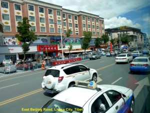
As we travelled along a main road of the city, East Beijing Road, we noticed that there were no multi-storey buildings. Most of the buildings were a few storeys high, and their fronts were painted with Tibetan designs. Taxis and trishaws were many along the street.
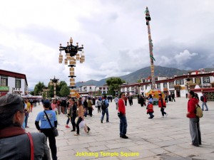
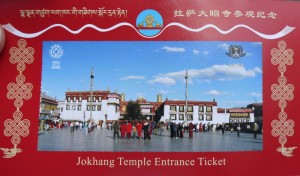
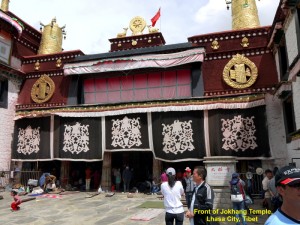
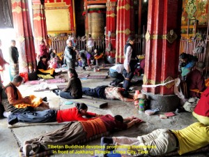
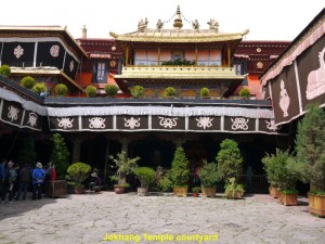
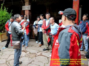
Later, at 2.30 p.m., we went together to visit a well-known Tibetan Buddhist temple which is known as Jokhang Temple, another UNESCO World Heritage Site.
Jokhang Temple is in the centre of old Lhasa city. To the Tibetans, it is the most sacred temple in their country. Many Buddhists from near and far make a pilgrimage to this temple, daily.
According to the Tibetan history, a Tibetan king, Songsten Gampo, built it as a residence for his two foreign wives, a Chinese and Nepalese, in 647 A.D.. Both of his wives brought along with them Buddha statues from their own countries and placed them there. Later, kings of other dynasties made it larger and an important religious place of worship for Tibetans. Now, it has many small rooms that house Buddha statues of different sizes.
In the evening, we had dinner at a restaurant in the downtown. After dinner we went back to our hotel and retired early.
Day 17 (31.8.2013, Saturday)
Lhasa – Nagqu
(Distance: 383 km)
Today, we were all ready for a long jouney. We would be going north from Lhasa and back to Nagqu City, a total distance of 383 km.
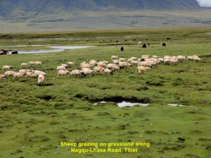
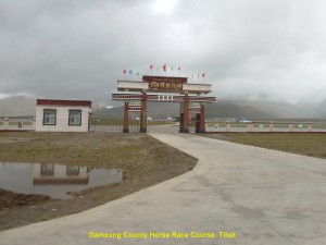
At 8 in the morning we started the journey to Nagqu. It was raining slightly and cold as we were heading north. On the way we saw vast grasslands where herds of yaks and sheep were grazing, Qinghai-Tibet Railway crossing the grasslands, and Damxung Horse Race Course where horse races and horsemanship competitions were held during horse festivals.
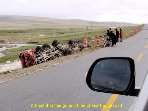
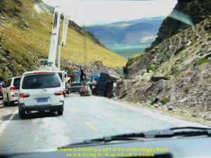
While travelling on the road we saw some unfortunate trucks in trouble: two went off the road and one of them was being pulled out of a trench by a crane.
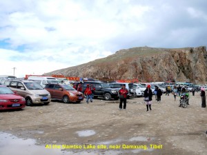
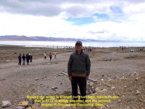
At 12 noon we arrived at Damxung and had a simple meal at a restaurant in the outskirt. Then we were on the road again. At 1.30 p.m. we came to Tibet’s largest lake, Namtso Lake or Sky Lake, a salt-lake that is 4718 m above sea-level. The Tibetans consider it a sacred place. When they pray there they ask for blessings from their gods.
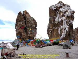
On the shore there were many people from near and far enjoying the scenic view of the lake. On the dry ground, there were some shops, including food and beverage shops. There were two towering rocks standing close to each other a few hundred metres away from the shops. Those two rocks were given a name, “Stone Couple”.
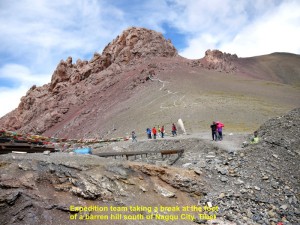
At 2.30 p.m. we left Namtso Lake and continued our journey to Nagqu City. Soon we went up a mountain pass which was over 4000 m above sea-level. The mountain we saw was barren.
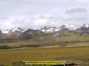
While we were going down the mountain we saw snow-capped mountains of the Nyaingentangiha Mountain Range in the distance on our left, vast grassland and the Qinghai-Tibet Railway again.
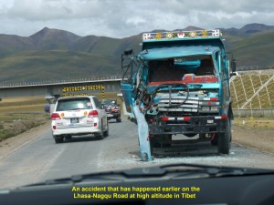
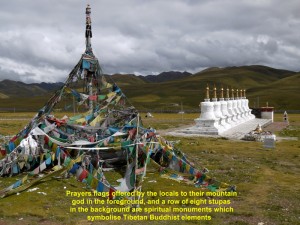
Before we reached a village, we saw a damaged truck on the road that had an accident earlier. On arrival at a village for a break, we saw worship coloured flags and a row of eight whitewashed stupas. According to the Tibetans, the flags are put up in mountainous areas for asking their gods for good blessings, and the stupas are built as sacred structures that symbolise peace, harmony and enlightenment.
At 7 p.m. we, finally, arrived at Nagqu City. We had dinner first before we checked in at a hotel, Na Qu Hotel. When I went into my room I switched on a television and listened to news. I was shocked when a news-presenter said that an earthquake of 5.9 magnitude happened at about 8.30 in the morning in Deqin and Shanggrila counties in Yunnan. It killed about 5 people, injured 49 and closed some roads due to landslides. We were in Deqin 6 days ago!
Journal of My 2013 China Expedition:
Written by Choo Chaw, Kluang, Johor, Malaysia

