Journal of My 2013 China Expedition Part IX (Beijing)
Journal of My 2013 China Expedition Part IX (Beijing)
Beijing Journey
Day 32 (Sunday, 15.9.2013)
Hohhot to Beijing Distance: 536 km
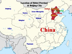
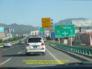
At 8.10 a.m. sharp we left Hohhot City in Inner Mongolia and travelled south-east to Beijing, the capital of China. It would be a long journey as the distance between them was 536 km.
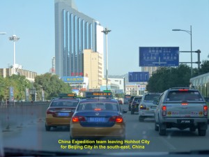
China Expedition team leaving Hohhot City in Inner Mongolia for Beijing City in the south-east, China
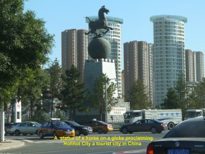
An important structure with a statue of a horse on a globe atop at a crossroads in Hohhot City proclaiming the city a tourist city in China
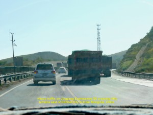
We were travelling on a good expressway, Jingzang Expressway(G6). Many heavy vehicles were using the road. For the first few hours we were crossing hilly terrains. Later we were travelling in a valley where Xiyang and Yanghe rivers flowed.
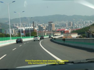
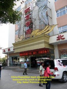
At 1.50 p.m. we entered Hebei Province and exited a Zhangjiakou toll gate from the Jingzang Expressway. A few minutes after leaving the toll gate and moving towards Zhangjiakou City, we sighted a long wall on the ridges of mountains in the distance. It was part of the Great Wall of China that protected Zhangjiakou City and Beijing City in the south from foreign invasions in the olden days. Ten minutes later at 2 p.m., we entered Zhangjiakou City and had lunch at a restaurant.
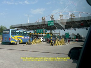
China Expedition team exiting a Zhangjiakou toll gate from Jingzang Expressway G6 to Zhangjiakou City in Hebei Province, China
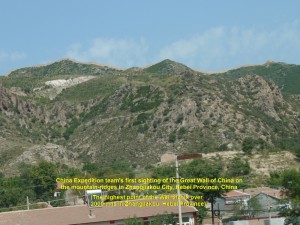
Part of the Great Wall of China on the mountain-ridges outside Zhangjiakou City, Hebei Province, China
Located 340 km east of Hohhot City, Zhangjiakou City has a population of about 4 millions. It is in a valley where a river, Tongqiao, flows through it and meets a large river, Yanghe, in the south. It is surrounded by mountains on which a part of the Great Wall of China was built in the ancient times to defend the city and Beijing in the south.
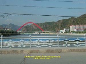
China Expedition team crossing a bridge over Tongqiao River in Zhangjiakou City and going back to Jingzang Expressway to Beijing City, China
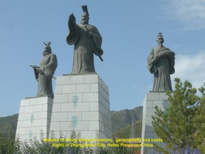
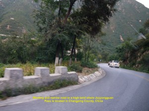
After lunch at 3 p.m. we left Zhangjiakou City and resumed our journey to Beijing. We crossed a bridge over Tongqiao River in the city, passed three statues of a China emperor, noble and general, and went back to Jingzang Expressway G6. We headed south-east to a mountainous area which was 110 km away. At 4.50 p.m. we exited a Donghuayuan toll gate and travelled on a country road which later became narrow and winding in the mountainous area.
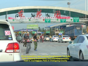
China Expedition team exiting a Donghuayuan toll gate and entered a country road to the Juyong Pass in Changping County
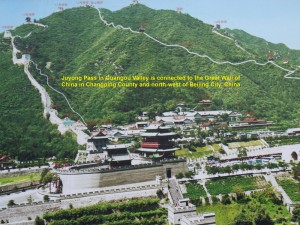
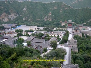
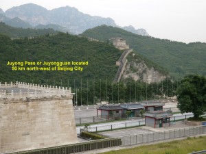
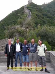
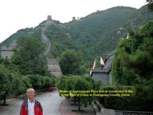
An hour later at 5.50 p.m., we arrived at a tourist spot, Juyongguan or Juyong Pass which was on the UNESCO World Heritage list in 1987. Located in the Guangou Valley in the Jundu Mountains and 50 km north of Beijing City, Juyong Pass was an important fort to many dynasties in the ancient times. It controlled the route in the valley from the north to Beijing in the south in the olden days. It is connected to a 4 km long wall that snakes its way to the mountain ridges on both sides of the valley. This wall then joins the Great Wall of China which protected the ancient rulers in the south.
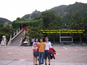
When we arrived at Juyong Pass at 5.50 p.m., the place was already closed and deserted. But our China guides, Siao Gu and Siao Jun, appealed to a caretaker to allow us to tour that famous place as we had come from distant countries, Malaysia and Singapore. We were glad when the kind person allowed us to enter the historical area.
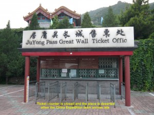
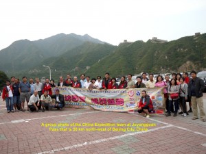
China Expedition team arriving at the Juyong Pass at 5.50 p.m. and found this ticket-counter closed.
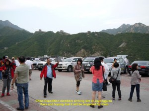
China Expedition team arriving late at Juyong Pass and finding it closed. They are hoping for it to be reopened.
We spent an hour touring the place. Looking around us, we were awe-stricken to see the awesome Great Wall which snakes its way up and down the ridges of the mountains and the Julong Pass(fort) in the valley that controlled the north-south route in ancient times.
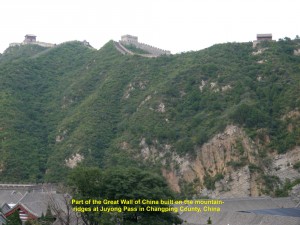
The Great Wall of China snakes its way on the mountain-ridges in the Jurong Pass area that is north-west of Beijing City, China
Some of us climbed up the steps on a wall that was on a steep slope of a mountain. When we reached the first watch-tower we stopped and saw a breathtaking view of the rest of the wall on the mountains in the distance and the Juyong Pass down in the Guangou Valley.
Owing to time constraint, we did not go up any further. So, we went down and back to our cars. At about 7 p.m. we left that historical place and continued to travel south-east to Beijing City. Over half an hour later, we arrived at the city. The traffic in the city was heavy and slow moving.
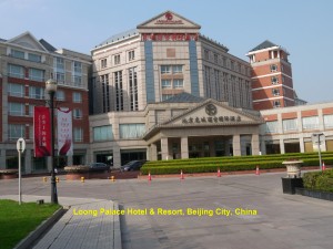
Finally, we arrived at a hotel, Loong Palace Hotel and Resort where we checked in and had dinner in its restaurant.
(In 2006 I visited Beijing City and wrote about it in these websites: Beijing, Tianjin and Chengde Travel(Part I) and Beijing, Tianjin and Chengde Travel(Part II))
Day 33(Monday, 16.9.2013)
Summer Palace Visit, Beijing City
At 9.30 in the morning, 15 members of the China Expedition drove their cars 114 km south-east to the Tianjin seaport where a ship would carry their vehicles back to Malaysia.
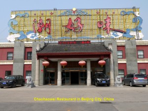
At 12.30 p.m. the remaining members including myself went to a restaurant, Chaohaowei Restaurant, in Beijing City to have lunch. In that restaurant I was attracted to a large, colourful and attractive mural showing many people from diverse ethnic groups living in China.
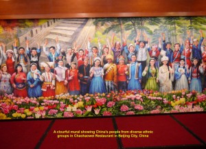
A beautiful mural showing China’s people of diverse ethnic groups in Chaohaowei Restaurant, Beijing City
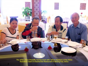
The writer(Choo Chaw) on the right having lunch with fellow-members in Chaohaowei Restaurant, Beijing City
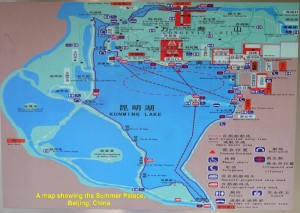
After lunch, we went straight to a well-known ancient imperial garden, Summer Palace, located 15 km north-west of the city-centre. It was declared in 1998 a World Cultural Heritage site by the UNESCO. The garden is about 291 hectares, but three-quarters of it is lake that known as Kunming Lake.
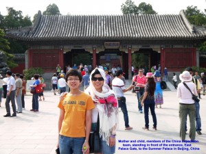
Mother and child, members of the China Expedition team, standing in front of the Summer Palace entrance, Beijing, China
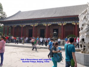
On arrival at the Summer Palace at 2 p.m., we were glad that it was sunny and the air was clear. Then we entered the Palace through an entrance known as East Palace Gate. The first ancient building we saw was known as Hall of Benevolence and Longevity. It was used by Empress Dowager Cixi(1835-1908) and Emperor Guangxu(1871-1908) for holding court and administering state affairs.
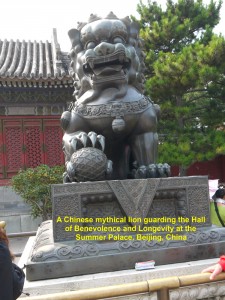
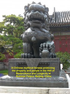
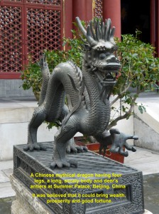
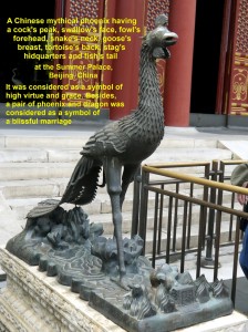
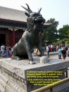
In its courtyard, there were five large Chinese legendary or mythical creatures. They were lion, lioness, dragon, phoenix and “kylin”. In the olden days, the Chinese considered them as a symbol of virtue and believed that they had power of protecting people against evil, creating peace and harmony and bringing good fortunes to them.
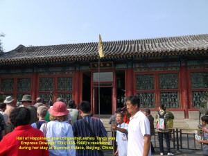
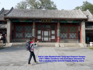
Then we walked further in and saw two important old buildings. One known as Hall of Happiness & Longevity which was Empress Dowager Cixi’s residence and the other Hall of the Jade Ripples that was Emperor Guangxu’s residence. Both of them stayed there during hot summers.
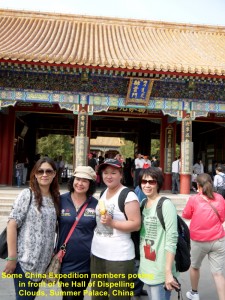
Fellow-members of the China Expedition team standing in front of the Hall of Dispelling Clouds, Summer Palace, Beijing
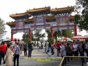
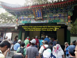
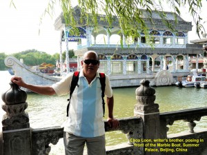
Later, we walked through the Hall of Dispelling clouds and into an open space by the Lake Kunming where a beautiful, tall archway known as Gate of Dispelling Clouds stood. We walked through it and then entered a long covered corridor. It was 728 metres long and had over 10 000 small Chinese paintings on its pillars, beams and ceilings. When we came out of the corridor, we saw a large stone boat, Marble Boat, which was 36 metres long in the lake.
At 3.20 p.m. we took a boat from a jetty near the Marble Boat, crossed the Kunming Lake and reached a tiny island, South Lake Island, in less than 10 minutes. While crossing the lake, we saw a prominent pagoda-like building, Hall of Buddhist Incense, on a slope of the Longevity Hill.
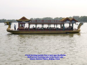
A boat ferrying tourists across the Kunming Lake to South Lake Island in less than 10 minutes, Summer Palace, Beijing
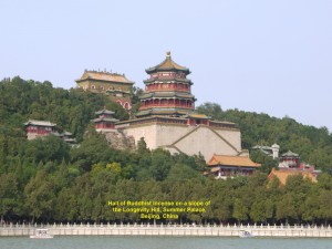
A prominent pagoda-like building known as Hall of Buddhist Incense on a slope of Longevity Hill, Summer Palace, Beijing
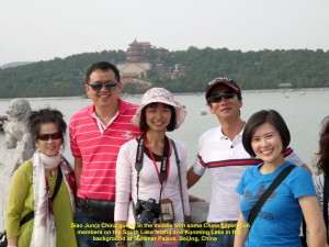
Some fellow-members of the Expedition on the South Lake Island at Kunming Lake, Summer Palace, Beijing
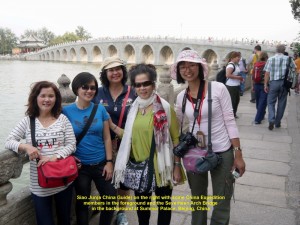
Fellow-members with the China guide, Siao Jun(R), on South Lake Island at Kunming Lake, Summer Palace, Beijing
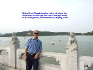
As there was nothing much to see on that small island, we walked to a long, wide bridge, Seventeen Arch Bridge. While I was crossing it, I stopped in the middle and saw a breathtaking view of the lake and its surroundings.
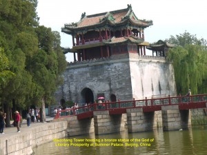
After crossing the bridge, I came across a life-size bronze ox which was facing the Kunming Lake. It was made by Emperor Qianlong(1711-1799) in 1755 as he believed that it could prevent flooding in the area. As I walked further down I came across a three-storey ancient building, Wenchang Tower, that housed the God of Literary Prosperity.
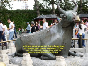
A life-size bronze ox near the 17-Arch Bridge was made by Emperor Qianlong believing that it could prevent flood in the area
At 4 p.m. we left that large, beautiful, pristine, classical imperial Summer Palace and went downtown to a shopping mall where we had western food for tea.
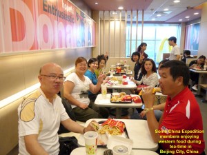
Some fellow-members of the Expedition having western food for tea in a shopping mall in Beijing City, China
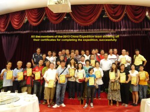
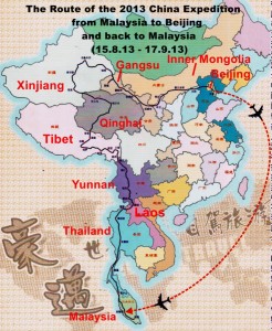
At 8 p.m. all the Expedition members had dinner at a restaurant in Mercure Wanshang Beijing Hotel in the city. During the dinner, our group leader, Kong Kun Lin, congratulated all the members for having, successfully, completed the journey from Malaysia to Thailand, Laos, Yunnan, Tibet, Qinghai, Xinjiang, Gansu, Inner Mongolia and finally, to Beijing. Besides, he thanked all the China guides from Yunnan Province for making our Expedition a great success.
For all of us, a long journey that took us 33 days to complete was an enjoyable and unforgettable one. Then we all received a certificate proving our participation in the successful Expedition.
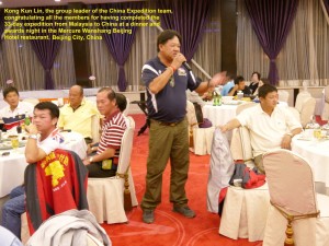
The group leader of the 2013 China Expedition, Kong Kun Li, making a congratulatory and acknowledgement speech at a dinner in Beijing City
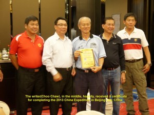
The writer, Choo Chaw, showing off a certificate he receives certifying his participation in the successful Expedition
Day 34(Tuesday, 17.9.2013)
Tiananmen & Forbidden City Visit in Beijing City
At 9 in the morning we left Loong Palace Hotel and went to a well-known large imperial palace in the world. Located in the centre of Beijing City, it is popularly known as Forbidden City.
Built in the 1406-1420 period, it became the residence of 24 emperors of the Ming and Qing Dynasties for about 500 years. The last emperor, Puyi, vacated the palace when his Qing Dynasty was overthrown by the 1911 Revolution. The palace was known as Forbidden City as no commoners were allowed to enter the heavily-guarded place during the emperors’ reigns.
In 1925 the palace was established as the Palace Museum. Then in 1987 it was declared by UNESCO as a World Heritage site.
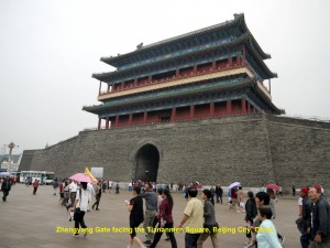
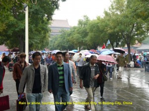
At about 10 a.m. we arrived in a large open rectangular space, Tiananmen Square. Although it was drizzling, we could see many tourists in the Square walking towards the Forbidden City. Facing the Square stood a large gate, Zhengyang Gate.
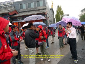
The China Expedition team is going to visit Tiananmen Square and the Forbidden City, although it is drizzling.
As we were crossing the Square, we could see the Chairman Mao Zedong Mausoleum where the embalmed body of the Chairman was placed in a crystal coffin in 1976. People from far and wide queued up to enter the mausoleum.to see the body.
In front of the mausoleum was a clay sculpture of the socialist construction workers of the Chinese Communist Revolution and in the Square centre a 38 metre-high monument, Monument to the People’s Heroes. It was built in the 1950’s in memory of the martyrs of revolutionary struggle during the 19th. and 20th. Centuries.
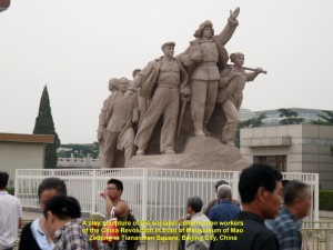
A clay sculpture of the socialist construction workers of the Chinese Communist Revolution in front of Mao Zedong Mausoleum in Tiananmen Square, Beijing City
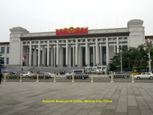
Further away on our left was a large building opened in 1959, Great Hall of the People, which was a meeting place of the National People’s Congress(the Chinese Parliament). Another large building could be seen in the distance on our right and it was National Museum of China. Established in 2003, it showcased the arts and history of China.
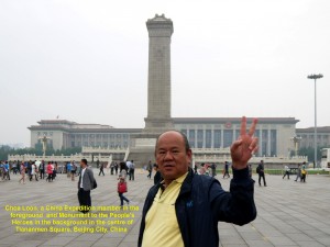
Behind Choa Loon, an Expedition member, is a tall column known as the Monument to the People’s Heroes and the large building the Great Hall of the People in the distance
After crossing the Tiananmen Square, we came to a large, red wall with five gates, a large portrait of Chairman Mao Zedong hanging in the middle and Chinese characters, “Zhonghua Renmin Gonghegou Wansui” and “Shijie Renmin Tuanjie Wansui”, that mean “Long Live the People’s Republic of China” and “Long Live the Great Unity of the World’s Peoples”. Built in 1415 during the Ming Dynasty, the wall was known as Tiananmen Gate(Heavenly Peace Gate). It was the main entrance to the Imperial Palace or Forbidden City.
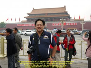
Behind Kong Kun Lin, the Expedition group leader, is the Tiananmen Gate which is the first entrance to the Forbidden City, Beijing City, China
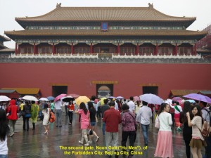
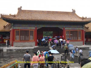
Entering the Gate, we came across another red gate known as Noon Gate(“Hu Men”). Walking through that gate we came to another red gate known as Gate of Supreme Harmony(“Tai He Gate”). Then we went through that gate and saw a large important ancient building where grand imperial ceremonies were, usually, held. It was known as Hall of Supreme Harmony(“Tai He Dian”).
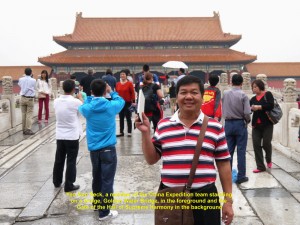
Behind Yeo Ann Seck, an Expedition member, is the Gate of Supreme Harmony(“Tai He Men”), the third gate of the Forbidden City, Beijing City, China
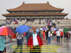
Behind the writer, Choo Chaw, is the largest building, Hall of Supreme Harmony, in the Forbidden City. Grand imperial ceremonies were often held in the hall.
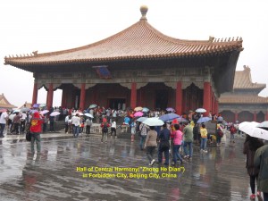
There were two smaller buildings behind the Hall. They were Hall of Central Harmony(“Zhong He Dian”) and Hall of Preserved Harmony(“Bao He Dian”) where rehearsing imperial ceremonies and the final part of the imperial exams were carried out.
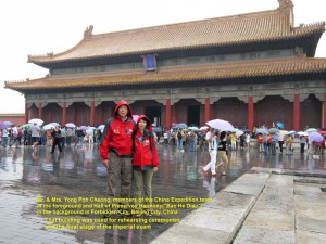
Behind Yong Poh Cheong and his wife is the Hall of Preserved Harmony(“Bao He Dian”). It was used for rehearsing ceremonies and the final stage of the imperial exams.
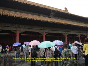
As we walked further inside, we passed through a gate, Gate of Hall of Heavenly Purity(“Qian Qing Gong Men”). It was an entrance to the emperor’s residence, Hall of Heavenly Purity(“Qian Qing Gong”) and empress’ residence, Hall of Earthly Tranquility(“Kun Ning Gong”). The door of the emperor’s residence was closed. When I looked into the living room through a glass-panel of the door I could see a throne and four Chinese characters above it: “Zheng Da Guang Ming” which means “Justice and Honour”.
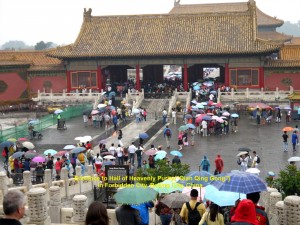
Gate of Hall of Heavenly Purity(“Qian Qing Gong Men”) is the entrance to the Emperor’s and Empress’ residences in the Forbidden City, Beijing City, China
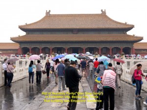
Hall of Heavenly Purity(“Qian Qing Gong”) was the Emperor’s residence in the Forbidden City, Beijing City, China
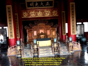
The Emperor’s throne in his residence, Hall of Heavenly Purity(“Qian Qing Gong”), in the Forbidden City, Beijing City, China
Then we entered another gate that led us into the imperial garden where there were two interesting trees that interlocked each other. A notice-board in between them said that the last Emperor of China, Puyi, and his Empress, Wanrong, vowed in front of the trees that they would be together forever, immediately, after their wedding.

The last emperor of China, Puyi, and his empress, Wanrong, vowed in front of those two interlocking trees that they would be together forever in the Imperial Garden in the Forbidden City.
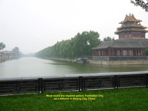
Finally, we came out of the Forbidden City through the back gate with five Chinese characters that said, “Ancient Palace Museum”. Outside the palace we saw a wide moat that surrounded it for defence.
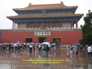
The back gate of the palace, Forbidden City. The five Chinese characters says “Ancient Palace Museum”.
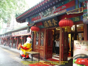
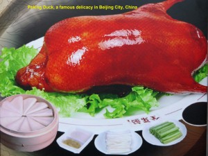
At 12 noon we left the Forbidden City and went to a restaurant for lunch. We were served a great delicacy, roasted duck popularly known as Peking Duck. A few roasted ducks were sliced in thin pieces with crispy skin by a chef in front of us.
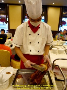
A chef slicing Peking duck for the China Expedition team’s lunch in a restaurant in Beijing City, China
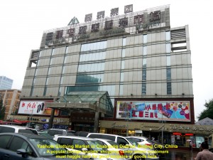
At 3 p.m. we left the restaurant and went to a shopping centre, Yashow Clothing Market, in Chaoyong District, Beijing. It is a popular tourists’ shopping place where footwear, clothes, luggage, electronic gadgets, etc. are sold there. The initial asking prices by the salespersons there are normally very high. Take for example, my case. I wanted to buy three ordinary T-shirts from a salesperson at one of the clothing stalls. After I had chosen three pieces, the man used a calculator and showed me an astronomical figure, 450(RMB), for the shirts! Of course, he expected me to bargain. So, I told him that I was willing to pay RMB90 for the shirts. As he refused to accept the price, I walked away. Then he shouted a price of RMB100. Thinking that it was about 22% of his first asking price and reasonable, I walked back and paid him the money for the shirts. So, if you go to such a shopping place, do not be afraid to haggle over the prices to as low as 20-30% of a seller’s initial asking price of a product you want.
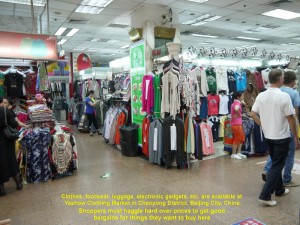
Yashow Clothing Market, a shopping centre where all kinds of daily needs are available, like footwear, clothes, electronic gadgets, etc.
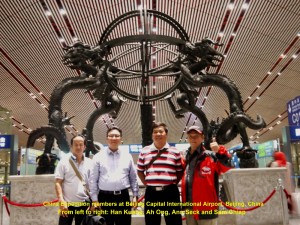
After our dinner at a restaurant near Yashow Clothing Market, we left for Beijing Capital International Airport. On arrival at the airport, we checked in at a departure counter. Then we thanked and bade farewell to our two capable guides who were present, Siao Gu and Siao Jun, from Yunnan Province. They had assisted us a lot in our unforgettable China Expedition.
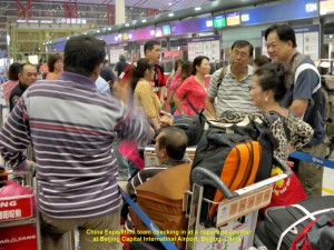
China Expedition team checking in at a departure counter at Beijing Capital International Airport, Beijing, China
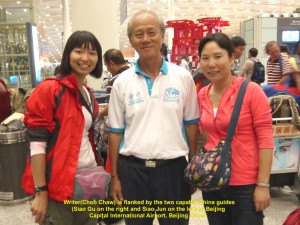
The writer, Choo Chaw, is flanked by two capable China guides, Siao Gu(R) and Siao Jun(L), who have assisted all the time in the China Expedition
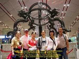
The two China guides taking a photo with some Expedition members at Beijing Capital International Airport, Beijing, China
At 1.40 a.m. our plane took off at Beijing Capital International Airport and headed south-west for Kuala Lumpur International Airport(KLIA) in Malaysia. Six hours later, we finally landed, safely, at the airport in our homeland that we had missed for over 30 days.
We are glad to have participated in the expedition and brought back lots of memorable experiences and rich knowledge of China’s history and diverse physical landscapes, climates, cultures, races, religions, economic activities, etc. Besides, we have enjoyed our comradeship during the expedition.
Acknowledgement:
I would like to thank Kluang Hakka Association and Johor Bahru Yang Association for, jointly, organising the China Expedition and allowing me to join it.
Thanks to our group leader, Kong Kun Lin, and all the China guides like Siao Gu, Siao Jun, Siao Wang, Siao Mok and Siao Wang to name a few. Without them our expedition would not be possible.
Last but not least, I would like to thank Wong Yok Sang, an amazing person, for driving Tan Chee Eng and me in his car all the way from Malaysia to Beijing City, safely.
Wong Yok Sang(R) and Tan Chee Eng(L), members of the Expedition at Beijing Capital International Airport, Beijing, China
Written by Choo Chaw, Kluang, Johor, Malaysia
Journal of My 2013 China Expedition:
Journal of my 2013 China Expedition Part VIII (Inner Mongolia)
Journal of My 2013 China Expedition Part VIII (Inner Mongolia)
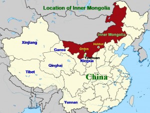
Inner Mongolia Journey
Day 30 (Friday, 13.9.2013)
Yinchuan – Ordos
(Distance: 458 km)
At 8.20 a.m., we left Yinchuan City in Ningxia Province for Ordos City which is 458 km away in Inner Mongolia. Ordos City became well-known all over the world when it held the Miss World Pageant in 2012, and Miss China PR, Yu Wenxia, won the crown after beating 115 contestants.
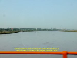
While travelling east from the city we crossed the Yellow River. Later, we passed through farmlands, grasslands and lowlands where tall trees were growing.
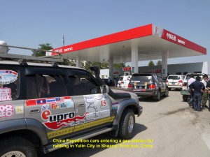
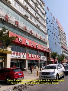
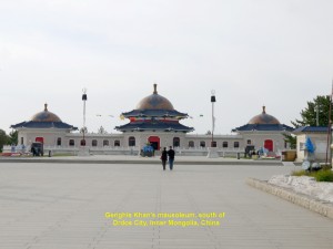
After five hours of travelling on a good expressway, G65 Baomao Expressway. we reached Yulin City at the northern border of Shaanxi Province where we stopped at a restaurant for lunch. After lunch we headed north for Ordos City. At 4 p.m. we reached the Genghis Khan’s Mausoleum Tourist District located near Ejin Horo Qi Town and several kms south of Ordos City.
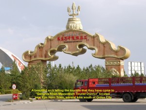
An arch over a road to the Genghis Khan’s Mausoleum Tourist District, near Ejin Horo Town, Ordos, Inner Mongolia, China
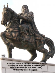
A bronze statue of Genghis Khan on a horse on a high pedestal at Genghis Khan’s Mausoleum, Ejin Horo Town, Ordos City, Inner Mongolia
Genghis Khan(1162-1227) ruled Mongol Empire or Yuan Dynasty(1271-1368) that covered China and a large part of Central Asia from 1206 until he passed away in 1227. Nobody knows the cause of his death nor the location of his tomb in Mongolia. His successors extended his empire to the west as far as eastern Europe, south Russia and the Middle-East.
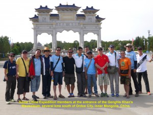
China Expedition members visiting Genghis Khan’s Mausoleum, near Ejin Horo Town, Ordos City, Inner Mongolia, China
In this tourist area there is a unique building which looks like a grand palace painted in white, blue and orange. It consists of three octagonal halls in a shape of a typical Mongolian home known as yurt. They are connected to each other by covered corridors. Along these corridors are frescos depicting the life of Genghis Khan and the great achievements of his grandson, Kublai Khan.
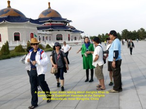
A guide in green dress talking about Genghis Khan to some China Expedition members at the Mausoleum, Ejin Horo Town, Ordos City
Construction of this grand building started in 1954 and completed in 1956 with the purpose of making it a place for Genghis Khan’s mausoleum. The Mongolians consider it a temple where they worship Genghis Khan as their god. They gather at this mausoleum in large numbers four times a year to worship Genghis Khan, and hold competitions such as horse-riding, wrestling, singing and archery after the worship-ceremonies.
The middle hall(Memorial Hall) which is the largest houses a large marble statue of Genghis Khan. Behind the statue is a large map showing Genghis Khan’s empire of the Yuan Dynasty(1271-1368) including lands in China, Central Asia and south Russia. A large room behind this hall houses empty coffins purported for Genghis Khan, his three wives and two brothers.
One of the two smaller halls houses Genghis Khan’s relics and the other two empty coffins, one purported for one of his wives and the other his fourth son.
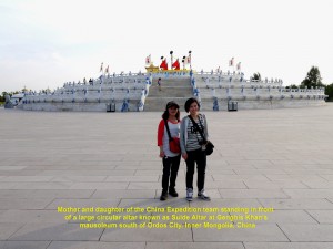
Sulde Altar, a large 3-levelled, circular structure, where Mongolians worship Genghis Khan, sky, heaven, etc. at the Genghis Khan’s Mausoleum, Inner Mongolia
There is a large, three-levelled circular structure of 54 metres in diameter known as Sulde Altar which is a short distance from this grand building. Sulde Altar is a consecrated place for Mongolians to worship Genghis Khan and heaven.
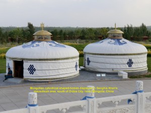
Two white yurts near Sulde Altar at Genghis Khan;s Mausoleum are shown as Mongolian houses, at the Mausoleum
Near this worshipping place are two white yurts(Mongolian houses) that are set up as an exhibit for tourists to see. Further away from the mausoleum is a sacred place on a high ground. A row of small cone-shaped structures of stones leads to the largest one. Mongolians come here on the 21st. of March of their lunar calendar every year to worship Genghis Khan, his horse, mountains, rivers, spirits, stars and heavens.
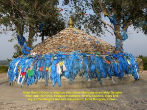
Altan Gandir Ovoo, a religious site where Mongolians worship Genghis Khan at the Mausoleum, Ejin Horo Town, Ordos City, Inner Mongolia
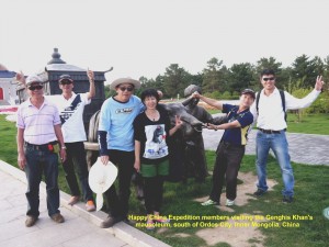
China Expedition members at the Genghis Khan’s Mausoleum, Ejin Horo Town, Ordos City, Inner Mongolia, China
Before we left the Mausoleum at 6 p.m., we had a group photograph at its entrance for remembrance. Then we moved on again. This time we were going to Suba Erga Town which was several kms north-east of Ordos City.
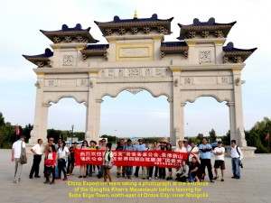
China Expedition team taking a photo at the entrance of Genghis Khan’s Mausoleum, Ejin Horo Town, Ordos City, Inner Mongolia
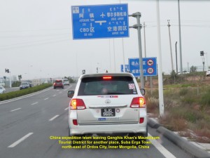
China Expedition team leaving Genghis Khan’s Mausoleum Tourist District for Suba Erga Town, north-east of Ordos City, Inner Mongolia
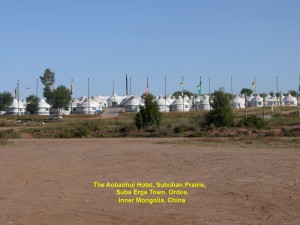
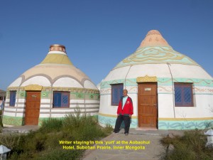
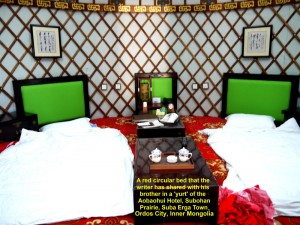
Over an hour later, we reached the town and then went to a hotel on a prairie(grassland), Subohan Prairie, nearby. Known as the Aobaohui Hotel, it was a unique hotel consisting of over a hundred Mongolian-styled houses known as ‘yurts’. Each ‘yurt’ has a large circular bed for two or three guests, a modern bathroom and a television set.
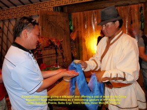
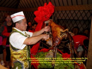
On arrival at the hotel, we went to a large tent for dinner. Before the dinner began, a short welcoming ceremony was held. One of our members acting as our representative received a cup of wine and a silk-scarf from a senior hotel officer as a gesture of hospitality. Then we had a sumptuous dinner that included a delicious dish of roasted lamb. After dinner, we retired in the ‘yurts’.
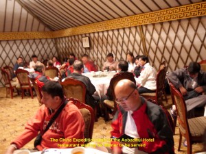
China Expedition team waiting for dinner at the Aobaohui Hotel, Subohan Prairie, Suba Erga Town, Ordos City, Inner Mongolia
Day 31(Saturday, 14.9.2013)
Ordos – Hohhot
(Distance: 316 km)
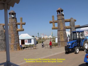
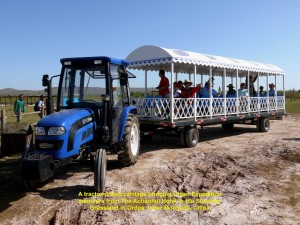
After breakfast, we gathered at the entrance of The Aobaohui Hotel waiting for a tractor-drawn carriage to bring us to a grassland behind the hotel. At 9.30 a.m. it came and brought us to a spot on the grassland for a horse-ride.
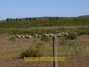
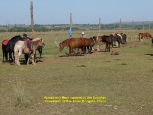
As we were going to the place, we saw sheep grazing in the distance and cows crossing our path. After a 20-minute bumpy ride on a dirt road, we reached the spot on the vast Subohan Grassland where we saw a few ‘yurts’ and several horses with their masters.

Some Expedition members on Subohan Grassland getting ready for a horse-ride, Ordos, Inner Mongolia, China
Then some of us took a horse-ride which cost us RMB 200 each. As it was going to be my first experience of riding a horse, I felt a little bit worried that I might be thrown off a horse’s back. But when I watched my friends riding their horses, comfortably, my fear disappeared. The ride was a short one but I did enjoy it. That was my unforgettable experience.
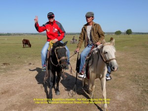
A fellow-member, Ket Kai, enjoying the horse-ride on Subohan Grassland, Ordos, Inner Mongolia, China
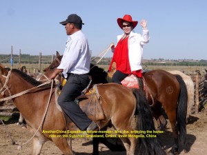
Another fellow-member, Mrs. Aw, enjoying a horse-ride on Subohan Grassland, Ordos, Inner Mongolia, China
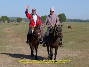
The writer, Choo Chaw, enjoying his first, unforgettable horse-ride on Subohan Grassland, Ordos, Inner Mongolia, China
Later, we all left the hotel at 10.30 a.m. and travelled over 300 km to a city in the east, Hohhot, which is the capital of Inner Mongolia. The sky was clear, but the weather was hot in this semi-desert area of Inner Mongolia.
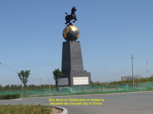
Tall structure with a statue of a horse on a globe at a roundabout in Ordos declaring Ordos as a tourist city in China
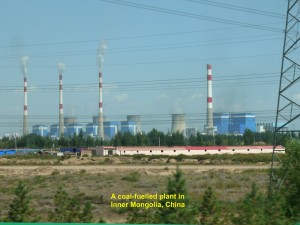
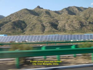
While travelling on a good expressway, G6 Jingzang Expressway, to Hohhot, we saw some coal-fired power plants and solar-energy power plants too. Inner Mongolia is one of the top three major consumers of coal. The emission of acidic gases and soot from the coal-fired plants has caused a serious impact on the environments and people’s health. The solar and wind energies are renewable sources and do not cause pollution. China is continuing developing these sources and hoping that carbon emission will soon be reduced, greatly.
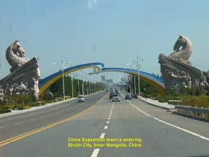
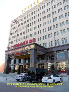
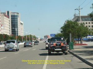
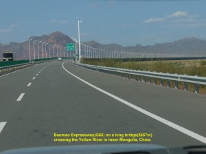
At 1.30 p.m. we stopped in Shulin City to have lunch at a restaurant. Then at 2.30 p.m. our journey resumed. On the way, we crossed a Yellow River plain and 5657 metre-long bridge over the Yellow River. On the fertile plain, crops, like barley, corns and wheat, were grown.
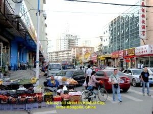
Finally, at 5.00 p.m. we entered Hohhot City, the capital of Inner Mongolia, and checked in at Hailiang Plaza Hotel. After leaving our luggage in our rooms, we visited a few streets of the old part of the city.
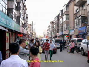
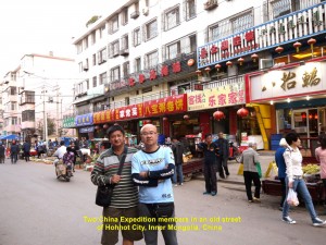
At 6.30 p.m. we felt hungry and entered a small restaurant. We ordered a few dishes and sat down to eat. Later, the lady-owner of the restaurant brought a few more dishes for us. Then she told us that the whole meal was on the house as she was happy to see Malaysians enjoying her food. We were, pleasantly, surprised and thanked her. In return, I took out a RM 10 Malaysian currency and gave it to her as a souvenir. After taking a few photos with her and her husband, we thanked and bade them farewell, and continued our sightseeing of the old part of the city.
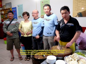
China Expedition members taking a photo with the lady-boss(in yellow blouse) and worker(in black T-shirt) in her restaurant, Hohhot City, Inner Mongolia, China
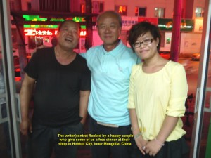
Writer(middle) taking a photo with the happy couple, the owners of a restaurant in Hohhot City, Inner Mongolia, China
Journal of My 2013 China Expedition:
Written by Choo Chaw, Kluang, Johor, Malaysia
Journal of My 2013 China Expedition Part VII (Ningxia)
Journal of My 2013 China Expedition Part VII (Ningxia)
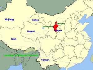
Ningxia Province Journey
Day 29(Thursday, 12.9.2013)
Zhongwei – Yinchuan
Distance: 201 km
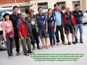
Before we began our journey from Zhongwei to Yinchuan, we bade farewell to Mr. Ma, one of our China’s special guides, who had helped us in our expedition for the past several days. He had to go back to Yunnan to take up a new duty.
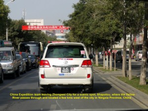
The China Expedition team leaving Zhongwei City for a Shapotou scenic spot located a few kms west of the city
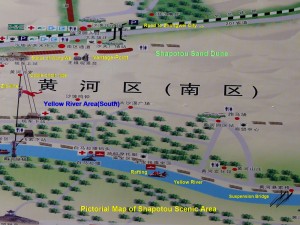
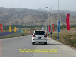
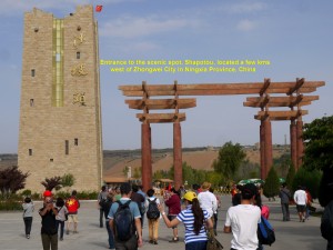
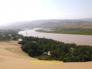
At 9 a.m. we left Zhongwei City and headed westwards to a famous scenic spot known as Shapotou. Located a few kilometres from the city, Shapotou is a gigantic sand dune in the south-east of the Tengger Desert. It is 2000 m wide, 100 m high and inclines at an angle of 60 degrees. It slopes down to the S-shaped part of the Yellow River.
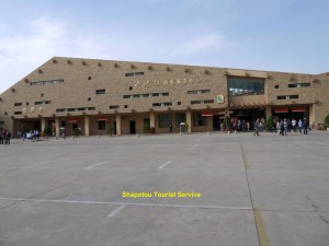
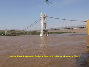
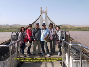
On arrival at the place, we bought tickets and entered the scenic area. As we were walking along the Yellow River, we saw a long suspended bridge for pedestrians spanning the river.
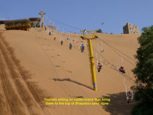
After walking for a few hundred metres, we reached a cable-chair station. Then we sat on cable-chairs and went to the top of the Shapotou’s large sand dune. When we reached the top, we walked to a vantage-spot where we were amazed to see an awesome panoramic view of the large sand dune sloping steeply down over 100 metres to a bend of the Yellow River, the curved river, trees and hills in the distance.
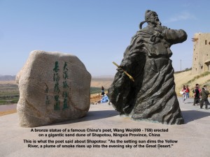
Erected at the viewing spot was a large bronze statue of a famous China’s poet during the Tang Dynasty. He was also a painter, musician and statesman. Wang Wei(699 – 759) was his name. He wrote what he saw one evening in the scenic Shapotou area:”As the setting sun dims the Yellow River, a plume of smoke rises up into the evening sky of the Great Desert.”
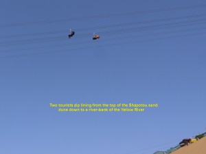
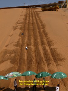
Walking back to the cable-chair terminal, we had three choices of going down to the bottom of the sand dune: cable-car ride again, zip-lining or sand-sliding. For me, I chose to go down by cable-chair ride as I wanted to record on my camera the breathtaking view of the Yellow River and its surrounding.
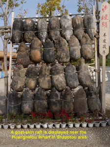
While we were walking back to the Shapotou entrance, we saw some of our fellow-members on rafts floating down the Yellow River. They had come down the sand dune by zip-lining and then went down the river by the rafts. Those rafts were unusual ones. Each one was made of a square wooden platform with over 25 air-filled goat skins tied to its underside, and could carry about 8 persons.
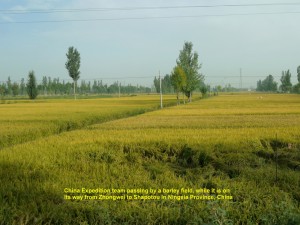
At 11.30 a.m. we left the Shapotou scenic area and travelled east to Yinchuan City which was about 200 kms away. We were travelling on a good expressway that crossed hot, arid land. Occasionally, we passed farmlands of barley, corns and wolfberries that were irrigated by water from oases and rivers.
China Expedition team leaving the Shapotou scenic area near Zhongwei City for Yinchuan City in Ningxia Province, China
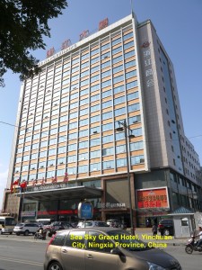
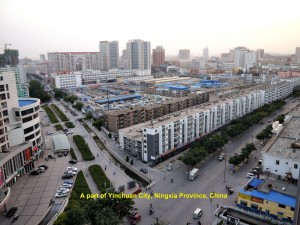
Three hours later, we, finally, reached Yinchuan City where we checked in at Sea Sky Grand Hotel. The Yinchuan City is the capital of Ningxia Province and has a population of about 2 millions.
Having checked in at the hotel, some of us were craving for western food which we had missed for many days. As we were walking down a road for a short while from the hotel, we were glad to find a KFC fried chicken outlet. We entered the eatery, ordered the food and ate with glee.
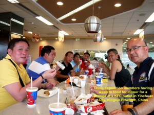
Some China Expedition members enjoying western food at a KFC outlet in Yinchuan City, Ningxia Province, China
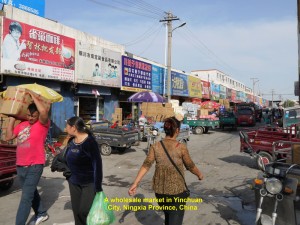
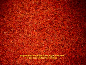
Later, Cho Tat, my brother, and I strolled in the neighbourhood of the hotel. We came across a market where wholesale trade of many kinds of goods was carried out, actively. We stopped at a shop where we bought several kilograms of dried red wolfberries for our loved ones and friends back home in Malaysia. These dried fruits which are small are usually used in Chinese tonic soups. Ningxia Province is one of the major producers of these fruits in China.
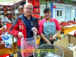
Writer’s brother(L), Cho Tat, buying dried red wolfberries at a wholesale market in Yinchuan City, Ningxia Province, China
Journal of My 2013 China Expedition:
Written by Choo Chaw, Kluang, Johor, Malaysia
Journal of My 2013 China Expedition Part VI (Gansu)
Journal of My 2013 China Expedition Part VI (Gansu)
Gansu Journey
Day 25 (Sunday, 8.9.2013)
Hami to Dunhuang
(Distance: 404 km)
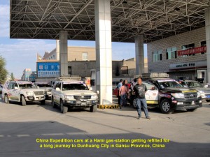
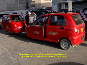
At 9 in the morning we all left Jiageda Hotel in Hami City and went to a gas-station on its outskirts to refill our vehicles. Standing at the station we looked at the city in the distance for the last time, as were going to another city, Dunhuang in Gansu Province, about 404 km away. Then we were surprised to see two red small cars that had three wheels each came appeared at the gas-station. That was my first time seeing such a kind of vehicles.
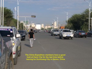
China Expedition members looking at Hami City for the last time before moving on to Dunhuang City in Gansu Province, China
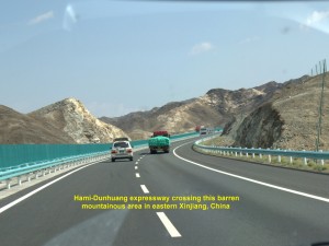
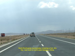
Soon we were on our journey to Dunhuang City. At the beginning, we were crossing hot, dry, vast, flat land, barren mountainous areas, and then flat land again.
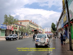
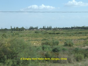
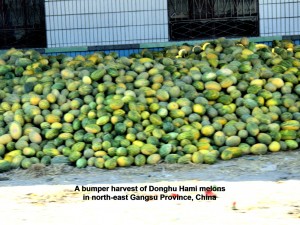
At 1.30 p.m. we stopped at a small restaurant for lunch at a small town, Liuyanzhen. An hour later, we were off again. Later, we were travelling across a fertile land where Donghu Hami melons and watermelons were grown, and then more fertile lands where cotton plants and grapevines were grown.
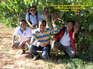
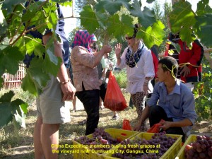
At 5 p.m., we stopped at a vineyard near Dunhuang City. Fortunately, the owner and his family were busy harvesting their large, juicy purple grapes. With the owner’s permission, we entered his vineyard. The moment we stepped in, we all felt delighted to see so many bunches of ripe grapes hanging from the vines. We were lucky to have come at the right time when the fruits ripened. Happily, all of us took several shots with the fruits. Before we left, many of us bought some of his grapes and ate them with joy.
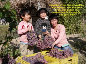
A China Expedition member has fallen in love with the large, juicy grapes at a vineyard near Dunhuang City, Gansu, China
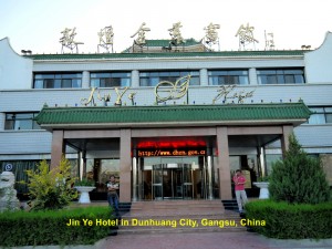
At 5.30 p.m. we, finally, reached Dunhuang City and checked in at a hotel, Jin Ye Hotel.
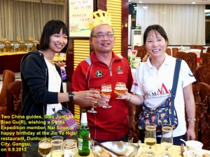
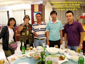
At 7.30 in the evening, we had dinner at the hotel. While having dinner, we celebrated one of our member’s birthday, Tang Nai Soon. He was so happy that we all felt delighted. It should be a memorable celebration for him.
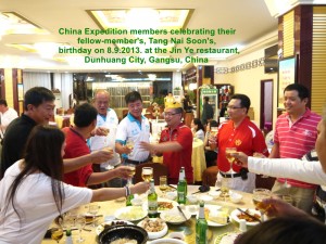
China Expedition members celebrating their fellow-member’s birthday on 8.9.2013 in Dunhuang City, Gansu
Day 26 (Monday, 9.9.2013)
Dunhuang in Gansu Province
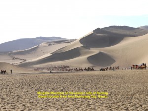
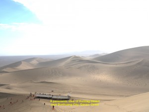
At 8.20 in the morning we left Jin Ye Hotel and went to Mingsha Mountains which were actually high sand dunes in Kumtag Desert located 6 km south of Dunhuang City.
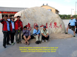
China Expedition members in front of a large rock that says “Mingsha Mountain Crescent Spring” located 6 km south of Dunhuang City, Gansu
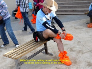
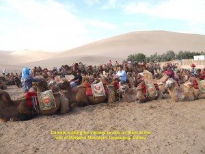
On arrival we were amazed to see so many tourists going for camel ride. We bought tickets to ride the camels too. Before riding on them, we put on bright orange soft boots to protect our shoes.
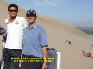
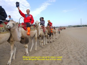
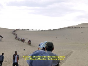
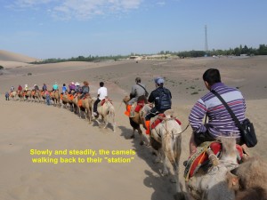
Soon we were riding on the camels. I was in a group of six tourists each of us riding a camel. The camels were tied to each other with a rope and led by a camel-guide, Siao Wang, in front. Soon we were joining a long line of camels with riders that snaked its way in the direction of a high dune that was three km away.
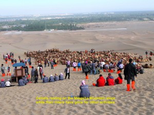
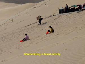
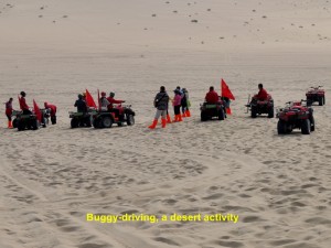
Half an hour later, we reached a higher elevation on a sand-dune where we all alighted from the camels and were asked to go for other activities, e.g. board-sliding and buggy-driving, for a short while.
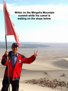
I climbed up to the summit of the Mingsha Mountain(a high sand-dune) and saw a panoramic view of the desert area which was breathtaking. Later, I sat on a circular tube and went down a steep slope of the dune for a short distance. That was an enjoyable activity which I had not done so for many years. The last time I slid down a slope was when I was on a snow-covered slope of Titlis Mountain in Switzerland in 2004.
Having spent over half an hour on the large sand-dune, Mingsha Mountain, we mounted the camels again and our camel-guide led the camels down the dune, slowly. That was my first, enjoyable and unforgettable experience.
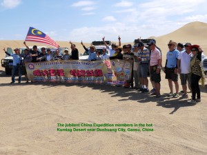
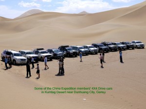
At 12 noon we had lunch. After lunch we went to a spot in Kumtag Desert which was several kilometres from Dunhuang City. At that spot some of our car-owners showed off their skill at driving on sand dunes without getting their vehicles stuck in the sand. There were a few unlucky ones whose cars got stuck and had to be pulled out of the sand by other vehicles. We, the spectators, were enjoying our fellow-members’ brave desert actions.
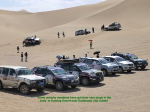
Two unlucky cars in the distance got stuck in the sand in the Kumtag Desert near Dunhuang City, Gansu
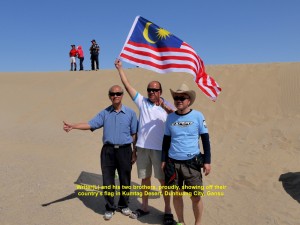
Writer(L) and his two brothers, proudly, showing off their country’s flag in the Kumtag Desert near Dunhuang City, Gansu
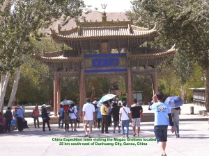
Later, we went to an ancient place that was 25 km south-east of Dunhuang City. Known as Mogao Grottoes, it has over 700 holes or “caves” dug out in the cliff of a hill between the 4th. and 14th. Century when the north silk route was the only overland road linking China in the east with regions in the west.
In the ancient times, there were many Buddhist scrolls, manuscripts, scriptures, statues, sculptures and murals in the “caves”. But now tourists could see repainted Buddhist murals and restored statues only in some of the”caves”. It was believed that treasure hunters had taken away many of those things in the last 100 years.
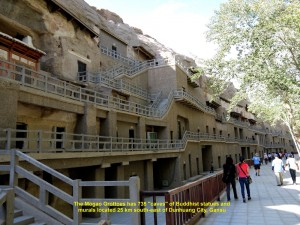
The Mogao Grottoes consisting of 735 “caves” containing Buddhist statues and murals near Dunhuang City, Gansu
When we arrived at the Mogao Grottoes, Miss Low, a guide, welcomed and brought us round to see some of the “caves”. There were four storeys of “caves” which were accessible by stair-cases. Miss Low brought us to the first two storeys and entered a few “caves” to see the murals and old Buddhist statues that were restored. We noticed that there were many “caves” in ruin and under lock. We spent about an hour and a half at that place before we left for our hotel in Dunhuang City.
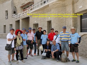
China Expedition members and a guide, Miss Low(squatting beside the writer), at the Mogao Grottoes, Dunhuang, Gansu
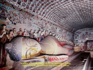
A statue of Lord Buddha lying on his right side in a long “cave” in the Mogao Grottoes, Dunhuang, Gansu
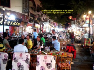
In the evening, we went to Dunhuang Night Market in the city-centre to have dinner at a eatery belonging to Uncle Salleh. Uncle Salleh, a friendly and happy Xinjiang man, had prepared a sumptuous dinner for us, members of the China Expedition. He served us grilled lamb and chickens, and a few kinds of salads. We thanked him for such good food that we had missed for the last over twenty days during our expedition.
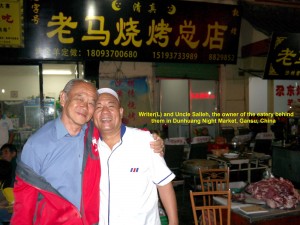
Writer(L) and Uncle Salleh, the proud owner of the eatery behind him at the Dunhuang Night Market, Gansu
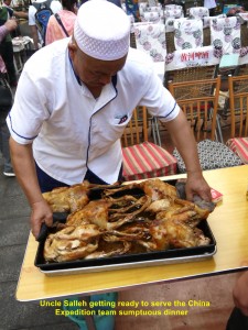
Uncle Salleh getting ready to serve the China Expedition members dinner at his eatery at Dunhuang Night Market, Gansu

Uncle Salleh’s signature grilled lamb for the China Expedition members’ dinner at Dunhuang Night Market, Gansu
As we were enjoying the dinner we were entertained by a young local couple singing several popular Chinese songs. A few fellow-members, happily, joined in the singing.
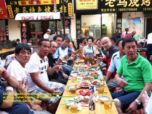
China Expedition members enjoying a sumptuous dinner at Uncle Salleh’s eatery at Dunhuang Night Market, Gansu
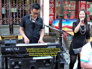
A young couple entertaining the China Expedition members who are having dinner at Dunhuang Night Market, Gansu
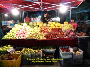
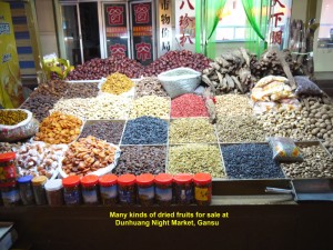
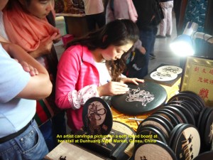
Before I went back to our hotel, I took a stroll to see many stalls selling handicrafts, clothes, foot-wear, fresh and dried fruits, etc. at the Dunhuang Night Market.
Day 27 (Tuesday, 10.9.2013)
Dunhuang – Zhengye
(Distance: 596 km)
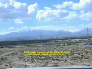
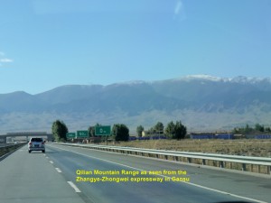
At 8.45 a.m. we left Dunhuang City and travelled east to Zhengye City, a distance of 596 km away. On the way we came across cotton-fields and farms of sunflowers, barley and melons. But quite often we crossed hot, vast land in the Gobi Desert which was either semi-desert or desert with barren hills in the distance. After two hours of travelling, we saw a long mountain range, Qilian Mountain Range, with snow-capped mountains in the distance.
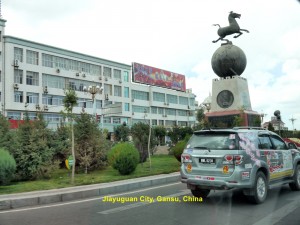
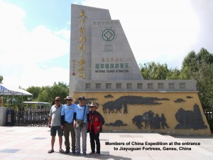
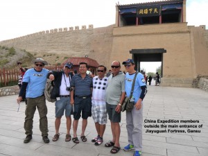
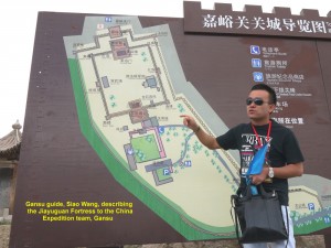
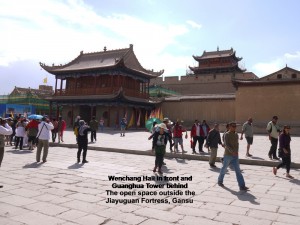
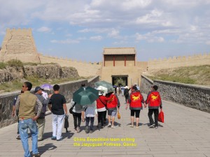
At 12.30 p.m. we arrived at Jiayuguan City where we met a young handsome Gansu guide, Siao Wang, and had lunch at a restaurant. Then we went to an ancient fortress which was 6 km away. It was known as Jiayuguan Fortress which was also a pass through the western Great Wall of China.
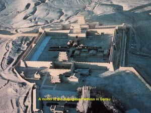
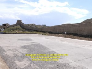
Built in 1372 in the Ming Dynasty to fend off invasion from the west, Jiayuguan Fortress has a wall in a shape of trapezium connected to the Great Wall of China. Within this wall is another wall that is higher and thicker, but square in shape. To make the fortress safer a moat was built outside the first wall.
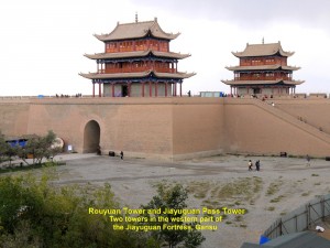
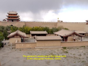
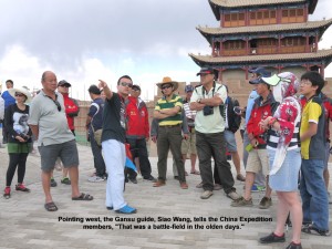
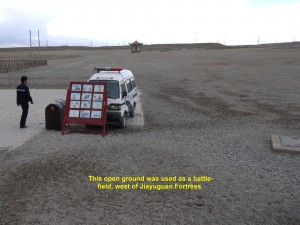
The inner fortress has a gate in front in the east with a tall tower on top known as Guanghua Gate, and two gates at the back in the west with tall towers on their top known as Rouyuan Gate and Jiayuguan Pass Gate. In the middle of this fort is the general’s residence. The back of the fortress faces a vast open ground which was a battle-field.
While we were walking on the walkway on the fortress wall, a strong sandstorm from the desert in the west came and went, suddenly. We had to covered our faces, quickly, as we had no time to look for a place to hide.
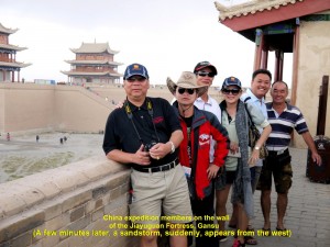
A sudden sandstorm occurs here while the China Expedition members are on the wall of the Jiayuguan Fortress, Gansu
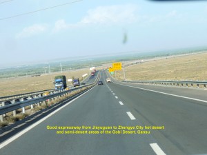
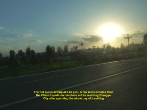
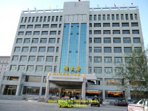
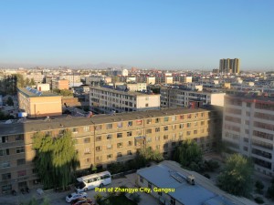
After the interesting fortress tour, we walked back to our cars and continued our journey to Zhengye City at 4 p.m.. The expressway from Jiayuguan City to Zhengye City was good. It crossed hot desert and semi-desert areas of the Gobi Desert in Gansu. At 7 p.m. we finally arrived at Zhengye City where we had dinner and checked in at Shu Wang Fu Hai Xian Hotel in the centre of the city.
Day 28 (Wednesday, 11.9.2013)
Zhangye(Gansu) – Zhongwei(Ningxia)
(Distance: 570 km)
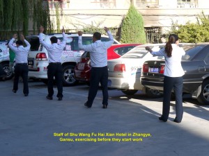
At 8 in the morning, some of our fellow-members, diligently, washed their cars clean in an open space near the hotel in Zhengye City. A few minutes later, a loud-speaker was playing a loud workout music and some hotel-workers appeared at the back of the hotel and began exercising. As I was watching them I felt I should join them in order to keep fit. Soon I was doing the workout with them for a short time. We had not done morning workout for quite sometime.
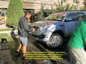
David Ho and other fellow-members of China Expedition, diligently, clean their own cars near the hotel in Zhangye City, Gansu
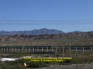
At 9 a.m. we left Zhangye City and travelled eastwards to Zhongwei City in another province, Ningxia, a distance of 570 km. It would be another long journey, and we always hoped that it would be another safe one like all the previous ones. The road to Zhongwei was good but lots of vehicles, small and large, were using it.
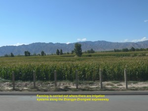
Farms are cultivated in areas where there are water irrigation systems along Zhangye-Zhongwei espressway, China
It crossed hot, dry lands and a few mountain ranges, e.g. Qilian Mountain Range, that could be seen in the distance from the road. Farms like barley, sunflowers, melons and corns were cultivated in some areas where water was available from irrigation systems or oases.
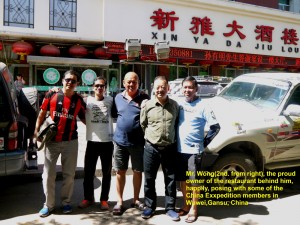
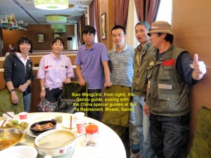
Mr. Wong(2nd. from right), the proud owner of the restaurant behind him, posing with some China Expedition members in Wuwei, China
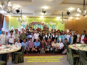
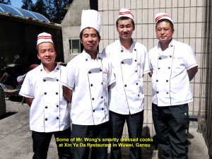
A group photo of Mr. Wong, his staff and members of the China Expedition team in Xin Ya Restaurant in Wuwei City, Gansu
At 12.30 p.m. we arrived at Wuwei City where we took our lunch at a restaurant, Xin Ya Restaurant. The owner of the restaurant, Mr. Wong, felt happy and honoured to have us from Malaysia and Singapore as his customers. After lunch, we all obliged him to have a group photograph taken with him and his staff. That was the first time a restaurant-owner in China requested us to do so and we were glad to do it.
Before we continued our journey to Zhongwei in Ningxia Province, we bid our Gansu-guide, Siao Wang, farewell. At 2 p.m. we left Wuwei City and travelled across hot, dry lands. The sky was blue with a few clouds all the time.
At 6 p.m. when we were near Zhongwei, we saw the Yellow River(Huang He) for the first time. It is China’s second longest river which is 5464 km long. Its source is in the Tibetan Plateau. When it reaches Gansu and Ningxia Provinces, it forms a loop known as “Ordos Loop”. It flows eastwards through 7 states in China before reaching the Gulf of Bohai.
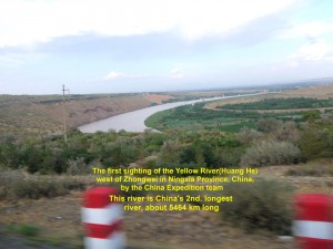
The first sighting of the Yellow River(Huang He) in Nimgxia Province, China by the China Expedition team
At 6.30 p.m. we, finally, reached Zhongwei City. We checked in at a hotel, Da Kong Hotel, first before we went to a restaurant nearby for dinner.
Journal of My 2013 China Expedition:
Written by Choo Chaw, Kluang, Johor, Malaysia
Journal of My 2013 China Expedition Part V (Xinjiang)
Journal of My 2013 China Expedition Part V (Xinjiang)
Xinjiang Journey
Day 20 (3.9.2013, Tuesday)
Huatugou – Rouqiang
(Distance: 450 km)
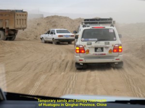
At 8.50 a.m. we left the quiet town of Huatugou near the Qinghai-Xinjiang border in north-eastern Qinghai Province, China. We were going north to Rouqiang which was 450 km away. When we left the town we were shocked to find that the first 70 km of the road was not the highway, but soft, sandy bumpy road in a desert. A stretch of the highway was still being improved. Luckily, all our expedition cars were 4-wheel drive vehicles, otherwise it would be difficult for them to move on that rough temporary road.
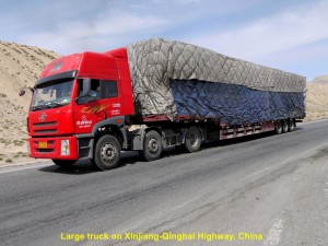
On the road or highway, there were many large trucks carrying all kinds of goods travelling on the same route as we were travelling.
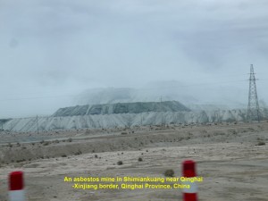
At 11.00 a.m. we saw asbestos mines and workers’ living quarters in Shimiankuang near the Qinghai-Xinjiang border and south of Kunlun Mountains. According to a China national mining report a few years ago, Qinghai Province produced the most asbestos in China. It had about 64% of the national reserve.
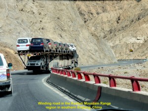
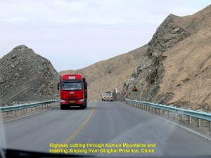
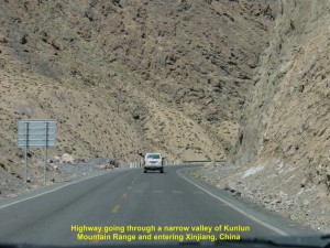
Half an hour later, we were travelling on winding road that cuts through the barren Kunlun Mountains and then entered Xinjiang Province from a high elevation of 2800 m to a low land of 800 m above sea-level.
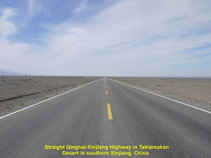
While travelling on a flat, vast dry land, north of Kunlun Mountains, our cars experienced cross-wind a few times, and we were excited whenever we saw mirages, and sand moving and spiralling upwards in the distance.
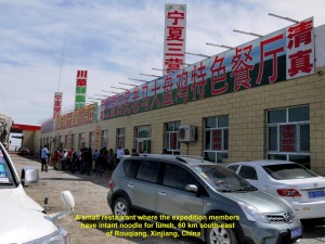
At 2 p.m. when we were 86 km closer to our destination, we saw sand dunes of Taklamakan Desert. Half an hour later, we stopped at a small restaurant and had instant noodles for our late lunch.
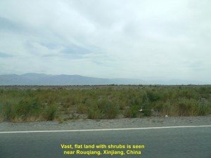
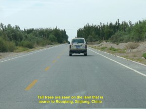
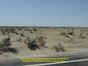
After that simple meal, we continued our journey. As we were going to reach Rouqiang, we began to see shrubs growing on vast, flat land, and later tall trees along the highway.
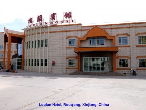
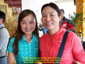
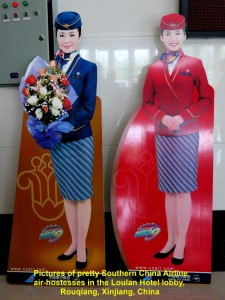
At 3.30 p.m. we, at last, reached Rouqiang, our destination for the day, and checked in at a hotel, Loulan Hotel, where we met Miss Chow, our Xinjiang tour-guide. In the lobby, there was an attractive poster showing two beautiful air-hostesses working for China Southern Airlines, the world’s 6th. largest airline company.
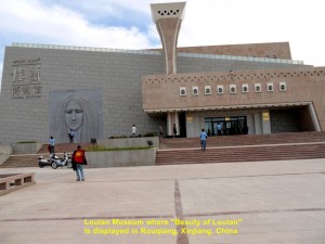
After leaving our luggage in our hotel-rooms we followed Miss Chow to a museum, Loulan Museum, which was nearby.
In the museum, we were not allowed to take photos and were closely watched. We followed Miss Chow inside the museum and she explained and described the exhibits displayed.
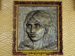
We saw some corpses inside but they had been mummified and desiccated by desert conditions. Miss Chow said that they were buried a few thousand years ago and taken from cemeteries in places such as Qawrighul(Gumugou), Miran and Loulan in Tarim Basin north of Rouqiang, several years ago. She pointed at a mummified body that was the best-preserved as her facial features could still be seen, clearly. She was known as “Beauty of Loulan” who was buried 3800 years ago in Loulan that was north of Rouqiang. The image of her face could be seen on the left front wall outside the museum and in the hotel we had checked in earlier.
It is believed that people had migrated from the Indo-European regions to Tarim Basin in Xinjiang since 5000 years ago. But a few thousands years later, the basin became dry and many places were deserted and became ruins. Many well-preserved bodies or mummies were discovered in cemeteries in those ruined places. One of them was known as “Beauty of Loulan”.
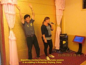
At 7 p.m. we had dinner together at the hotel. After dinner, we had a karaoke session for the first time since we started the expedition and beer flowed freely making some of our fellow members drunk. But all of us enjoyed that happy and unforgettable occasion.
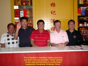
Expedition members proudly stand in front of their Chinese surname, “Yang” in Loulan Hotel restaurant, Rouqiang, Xinjiang, China
Day 21 (4.9.2013, Wednesday)
Rouqiang – Korle(Koria)
(Distance: 440 km)
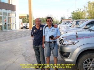
At 9.00 a.m. all the expedition members were ready to go north to the 3rd. largest city of Xinjiang, Korle. Half an hour later, our journey began.
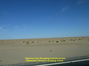
We would be traversing a dry, hot, harsh and vast land of Taklamakan Desert. Most of the areas in this desert were devoid of vegetation as average annual rainfall was about 25 cm. Only plants with long roots could survive in those harsh areas of the desert.
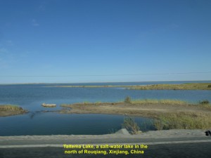
It was a smooth journey on the Rougiang-Korle Highway for the first hour. We came across a large salt-water lake, Taitema Lake, several kilometres north of Rouqiang. That was the only place we saw water while travelling to Korle City.
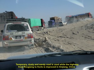
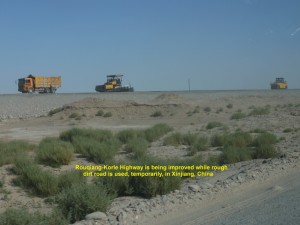
At 10.30 a.m. we had to slow down our journey. We were forced to take a rough, dusty, bumpy and sandy road, as a long stretch of highway was being improved. After that stretch of highway, it was a smooth journey to Korle City.
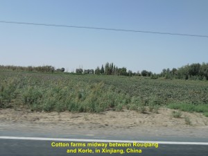
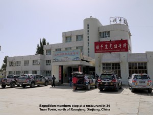
At 1 p.m. we reached a small town, 34 Tuan, where we had lunch. That town was hot and dry. It was a suitable place for planting red dates and cotton.
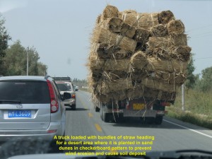
An hour later, we left the town and were on the highway again. We came across a truck fully loaded with bundles of straw. It was heading for a desert area where the straw would be planted in checkerboard pattern in sand dunes to prevent wind erosion and cause soil deposit.
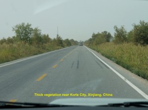
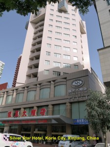
As we were reaching Korle City, we noticed that the land was covered with thick vegetation due to sufficient underground water. At 5 p.m. we reached Korle City, a vibrant city of about 450,000 people. We checked in at a hotel, Silver Star Hotel, and at 7 p.m. we had dinner in its restaurant.
Day 22 (5.9.2013, Thursday)
Korle(Koria)-Urumuqi
(Distance: 242 km)
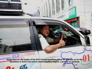
At 9 in the morning our journey continued. We were going to the capital of Xinjiang, Urumqi, from Korle. When our leader of the China expedition, Kong Kun Lin, gave the thumbs up, we were all glad to continue the journey on the 22nd. day of our expedition.
As we moved out of Korle, we saw farms of sunflowers, tomatoes, chillies and other crops on both sides of the road. Tall, straight and leafy trees known as “yi” were grown round them to ward off strong wind.
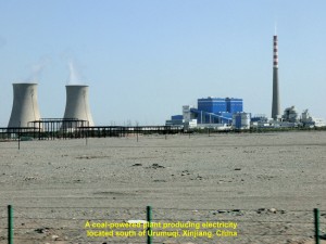
Two and a half hours later we were travelling on the expressway passing through mountainous areas. Later, we were travelling on a vast, flat, arid land, and saw a large coal-fired power station in the distance.
China has many coal-fired stations all over the country. They are causing severe air-pollution that poses health problems which the country is trying to tackle.
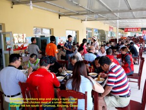
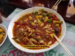
At 1.30 p.m., we stopped at a small town which was 166 km south of Urumqi to have lunch. We were elated when we were told that one of the dishes was a spicy one, and it was curry-chicken, a spicy food that we had missed for the past 21 days of the expedition.
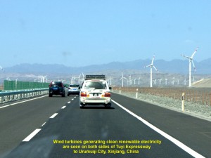
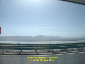
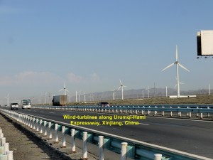
After the delicious meal, we continued travelling. An hour later we saw many tall wind-turbines on flat barren land that were generating clean electricity. Soon we came across grasslands where sheep were grazing and then passed a large lake, Salt Lake, that was 70 km from Urumqi.
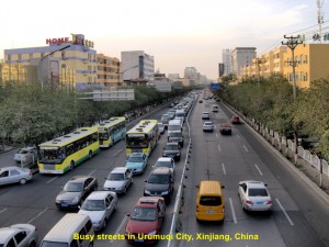
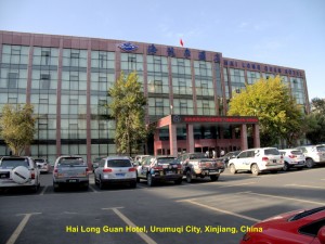
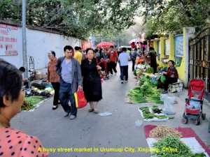
At 6 p.m. we reached Urumqi, finally. After checking in at Hai Long Guan Hotel in the city, my brother and I went to explore a street-market nearby. It was crowded. People were buying vegetables, clothes, snack-food, etc. That reminded me of the morning or evening markets in my home-town.
Day 23(6.9.2013)
A Day in Urumqi
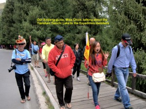
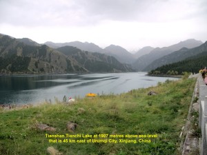
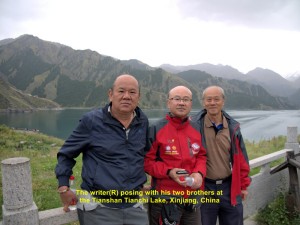
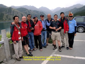
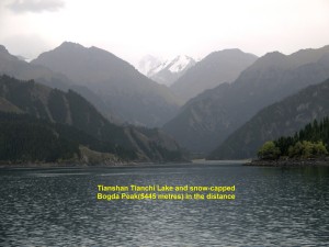
At 8.30 in the morning, we travelled over 40 km east to a mountainous area, Tian Shan. On arrival at the foot of the mountains we took a shuttle-coach twice. It went up a winding road passing through pine forests. Soon we reached a lake, Tianchi(Heaven Lake), that was about 2000 metres above sea-level.
Tianchi Lake was formed when a valley was dammed by moraines brought down from the mountains, Bogda Mountains, by glaciers and filled with water brought down by a river flowing from the mountains in the south. The surface area of the water in the lake was about 4.9 sq. km. and the deepest part of it was 105 metres.
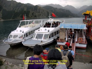
The lake surrounded by mountains with pine trees looked beautiful. We took a 30-minute boat-cruise round the lake and were fascinated by its beauty.
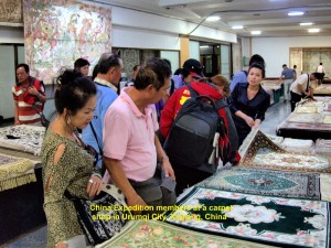
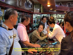
At 2.30 p.m. we left the lake by another shuttle-coach to the bottom of the mountains where we boarded our coach. The coach then brought us back to Urumqi City where we visited a carpet and jade-jewellery shop.
Later we went for dinner and back to our hotel to rest.
Day 24(Saturday, 7.9.2013)
Urumqi – Hami
(Distance: 581 km)
At 8.30 a.m. we left Urumqi City for another city, Hami, which was 581 km away in the east. As we were travelling on the expressway, we saw lots of wind-turbines on the vast arid land. Occasionally, strong cross-wind hit our vehicles.
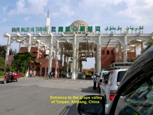
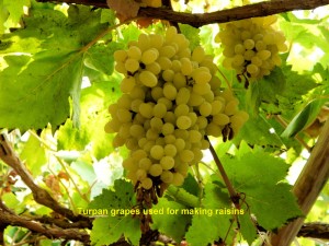
After travelling for four hours, we reached a grape valley, Turpan Grape Valley, where grapes were chiefly grown for making raisins.
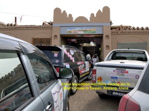
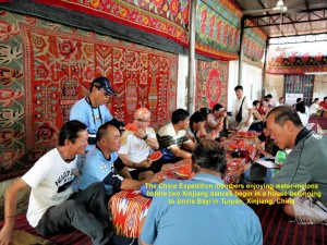
Then we visited a grape-grower’s house, Uncle Bayi’s house. We were warmly welcomed and entertained by two Xinjiang’s exotic traditional dances. Immediately after the dances, Uncle Bayi’s son introduced to us a few kinds of raisins and encouraged us to buy them. He was very happy when many of us bought them.

Two pretty girls performing an exotic dance for the China Expedition team in Uncle Bayi’s house, Turpan, Xinjiang
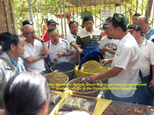
Uncle Bayi’s son talking about different kinds of raisins to the China Expedition team in Turpan, Xinjiang
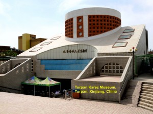
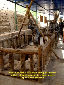
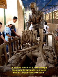
Then it was lunch-time. We went to a restaurant in the city and had simple local dishes for lunch. But most of us did not eat very much as our Malaysian taste-buds were quite choosy. After lunch we walked to a museum which was nearby. It was known as Turpan Karez Museum and showcased the ancient irrigation system or Karez Water System adopted in the hottest , driest and lowest region in China, Turpan Basin or Turpan Depression for the past 2000 to 3000 years.
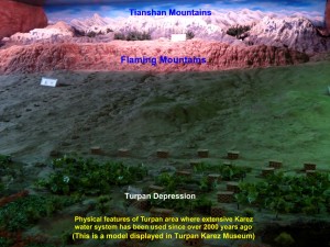
A model showing China’s hottest, driest and lowest region, Turpan Basin, where the Karez system is used, extensively.
In this system, canals are dug underground to channel water from snow-capped mountains, e.g. Tianshan, Jueluotageshan and Bogdashan, and watershed areas to wells and farmlands in the Turpan Basin. The advantage of these underground canals is that less water is lost due to evaporation in the hot, dry Turpan Basin and the inhabitants are able to get water all year round.
With the help of the Karez System, fruits could be grown in this region, such as grapes, watermelons, muskmelons, apples, peaches, etc. Most of the farmers here cultivated grapes which accounted for 90% of China’s total seedless grape production.
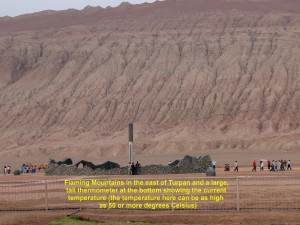
At 3.30 p.m. our journey continued. An hour later we stopped at a gas-station to refill the vehicles. Looking across the expressway from the station, we saw a red mountain range, Flaming Mountains or Gaochang Mountains.
Owing to erosion caused by occasional heavy rainfall, deep gullies and trenches were formed on the slopes. The range which was 100 km long, 5-10 km wide and 500 m high was red and barren giving a flaming appearance, hence its name. There was a large and tall thermometer at the foot of it that measured the current temperature. In summer the temperature in this Turpan Basin can be as high as 50 degrees Celsius or much higher.
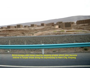
Then we were on the way to Hami City again. After the Flaming Mountains we were crossing a vast, arid, undulating land and brick-houses with holes could be seen on both sides of the expressway. Those special houses were built for keeping fresh seedless grapes that would later become raisins due to the desert climate.
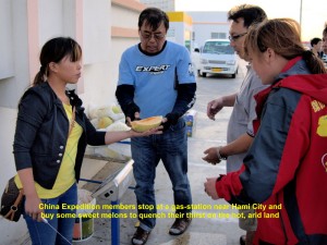
The tired China Expedition members enjoying eating the sweet Donghu Hami melons at a gas-station west of Hami City, Xinjiang
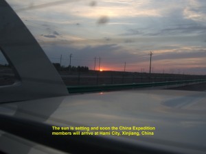
The sun is setting at 8 p.m. but the China Expedition team is still travelling on the expressway to Hami City, Xinjiang
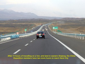
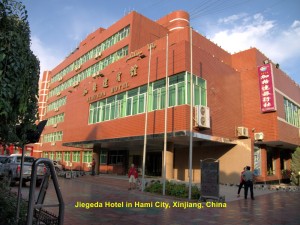
At 7.30 in the evening we stopped at a gas-station to refill our cars and enjoyed eating the sweet Donghu Hami melons. Then we moved on again. At 8 p.m., when the sun was setting, we were still on the expressway. Finally, at 9.30 p.m., 13 hours after we left Urumqi City, we reached Hami City, and checked in at a hotel known as Jiageda Hotel, happily.
Journal of My 2013 China Expedition:
Written by Choo Chaw, Kluang, Johor, Malaysia
Journal of My 2013 China Expedition Part IV (Qinghai)
Journal of My 2013 China Expedition Part IV (Qinghai)
Journey in Qinghai Province, China
(Day 18 – 19)
Day 18 (Sunday, 1.9.2013)
Nagqu – Golmud
(Distance: 860 km)
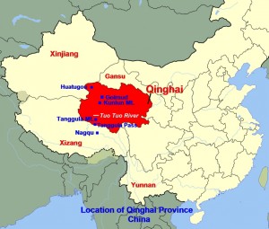
The first part of our journey, today, would be in the mountainous area of over 4500 m above sea-level in northern Nagqu Prefecture in Tibet and southern Qinghai Province on the northern Tibet Plateau.
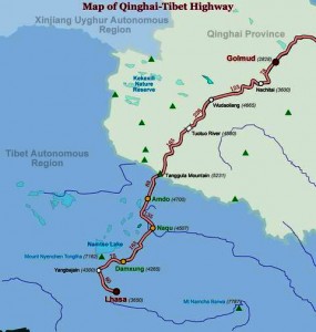
First, we would go up Tanggula Mountain Range on the Qinghai-Tibet border from Nagqu City(4507 m) where we had stayed overnight, and then down all the way to Golmud City(2828 m) in central Qinghai Province, a long journey of 860 km that would take us more than half a day.
We would be travelling on the Qinghai-Tibet Highway that was running parallel to the Qinghai-Tibet Railway. The latter was built from Xining via Golmud in the north in Qinghai Province to Lhasa in the south in Tibet, a total distance of 1947 km.
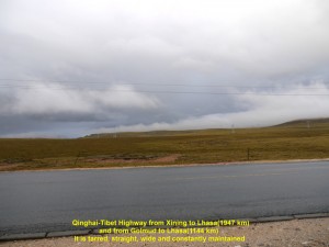
At 6.40 a.m. we left Nagqu City, and headed north on the Qinghai-Tibet Highway. Most of the the road was good because it was tarred, wide, straight and level. While we were travelling in the mountainous area we did not see any dwellings and the flat vast lands were barren due to cold, high altitude and thin air.
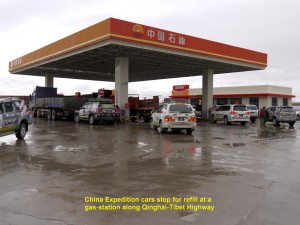
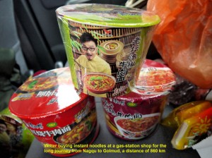
At 9.30 a.m. we arrived at Amdo where we stopped at a gas-station for cars to be refilled. As we did not intend to make many stops on the journey then, we bought a few cups of instant noodle at the shop of the station.
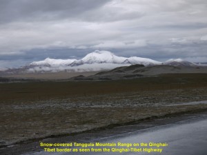
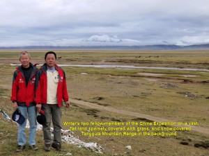
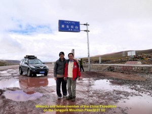
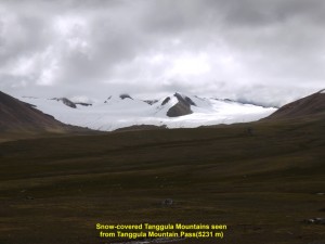
Several minutes later, we were off again on the highway. Then two hours later, we reached the Tanggula Pass(5231 m above sea-level) which was on the Qinghai-Tibet border. It was the highest elevation we had reached so far. We stopped at the place for a while to see the surroundings where the ground was wet, barren and uninhabited, and snow-covered mountains of Tanggula could be seen nearby.
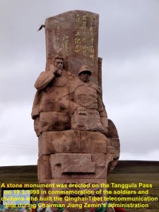
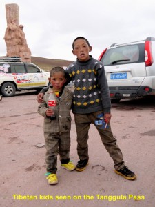
Erected on the pass was a large red stone monument of a soldier and civilian. It commemorated the soldiers and civilians who had built the Qinghai-Tibet telecommunication line in 1998 during Chairman Jiang Zemin’s administration. Besides, there was a small tea-house for passers-by. We met two curious Tibetan kids there. They were helping their parents at the tea-house.
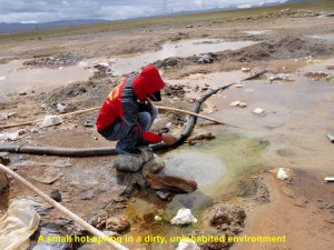
Later, we were on the highway again going down Tanggula Mountain Range. After several minutes of travelling, we went off the highway to a spot nearby to see a hot spring. But we were disappointed when we saw the hot spring which was small and the surrounding was dirty and littered with garbage.
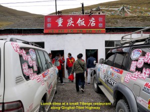
Then we went back to the highway, and at 1.20 p.m. we reached a small restaurant where we had a simple meal. After the meal, we were off again.
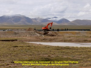
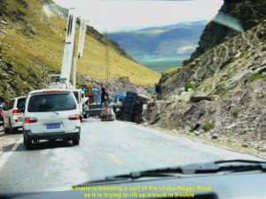
At 3.00 p.m. our journey was interrupted. Workers were busy repairing a damaged part of a highway, while many vehicles were waiting on both sides. As we still had a few more hundreds of km to travel, we could not wait for that part of the highway to be ready. So we went off the highway and travelled on the uneven land hoping that none of our cars would get stuck in the soft ground. Finally, we managed to get to the other side of the road after rocking, roughly, a few times in the cars.
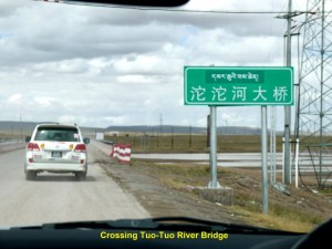
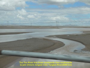
Soon we crossed a long, low bridge that was over a wide river known as Tuo Tuo River. It flowed westwards and then southwards to join Yangtze River(6400 km long), China’s longest river.
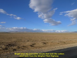
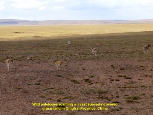
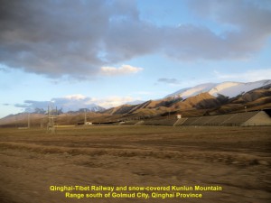
As we were travelling on the highway, we could see blue sky and lots of clouds that looked like cotton-wool floating in the sky, slowly. On both sides of the road, we could see vast flat lands that stretch beyond the horizons. Besides, we saw snow-covered mountain range of Kunlun(over 7500 m above sea-level) far away in the west, and occasionally, trains running on the Qinghai-Tibet Railway. There was a moment when we saw several wild antelopes on the flat land that was sparsely covered with grass.
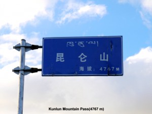
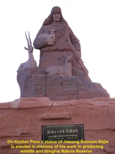
At 7.30 in the evening we reached a high part of the Kunlun Mountain which was 4767 m above sea-level. The place was bright, tranquil, but cold and wet, and we could see snow-covered mountains of Kunlun in the distance. Erected at the place was a large purple statue of a man, Jiesung Suonam Dajie, who was known as ” Environmental Protection Guard” of wildlife and the Qinghai Nature Reserve.
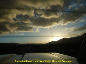
Having seen enough of the place for a short while, we went down the mountain and were travelling on the highway which was busy then. I estimated that it would be about two more hours before we reached our destination, Golmud City. While we were travelling on the level straight stretch of the highway, we could see the sun setting behind some hills in the distance at 8 p.m. and trucks with bright lights passing by.
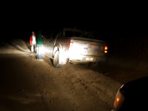
It was very dark at 9 p.m. when we were quite near Golmud City. Then at a dusty bend on a hill, while we were going down, our car, suddenly, veered off the road, and the two right wheels followed by the two left wheels went in and out of a deep trench.
As our driver was trying to get the wheels out of the trench, the fellow-member sitting next to him and I on the back seat were rocking, violently, for a few minutes inside the car. When the car stopped, suddenly, I was thrown forward into a space in between the driver’s seat and the back one, and, luckily, I was unhurt. But our fellow-member had a slight cut on his forehead and his pair of spectacles was broken, when his head hit the rear mirror. Our driver was in shock and kept repeating himself “I thought the oncoming truck with bright lights was crossing into my path. So I steered the car to the side to avoid it.”
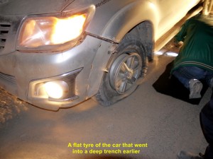
We were all stunned for a short moment before we came out of the car to check its damages. The tyre of the front left wheel was flat. Two of our China-guides who were following behind us earlier came to help to replace it with a spared one. We thanked our lucky stars as none of us suffered any serious injury, and the trench helped to stop our car from going over a cliff.
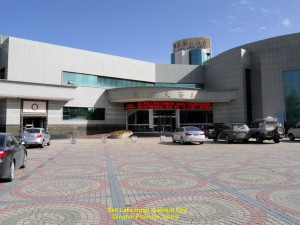
At 11.50 p.m. we were glad to arrive at a hotel, Salt Lake Hotel, in Golmud City in Qinghai Province, where we took our late dinner and stayed for a night.
Day 19 (Monday, 2.9.2013)
Golmud – Huatugou
(Distance: 458 km)
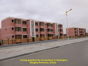
Today we were going to Huatugou which was 458 km north-west of Golmud city and near the Qinghai-Xinjiang border. The town was in an oil-rich region of Gobi Desert, and had many living quarters built, specially, for oil-workers from near and far in China.
After a good night rest without any bad dream of the previous night incident, I felt rejuvenated in the morning. At 12.40 p.m. we all left Salt Lake Hotel in Golmud City for another long journey to Huatugou.
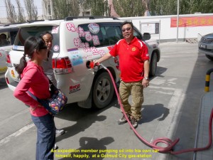
Before our journey began, we went to a gas-station to get the cars refilled. As the gas-station were short of workers some of our members pumped oil into their own cars themselves. Soon our journey started.
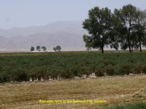
As we were moving in the outskirt of the busy city, we saw red date farms on both sides of the road.
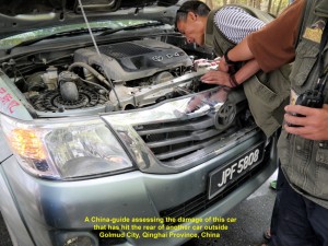
After about half an hour later, one of our expedition cars, accidentally, hit the back of another, and there was a slight delay of the journey. The damaged car had to go back to the city to get its radiator repaired. The rest of the cars then continued the journey and we hoped that the car when repaired would catch up with us later.
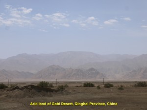
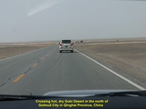
As we were travelling north and then eastwards we were crossing some changing landscapes from a vast flat arid plain with little vegetation to a sandy one devoid of plants, a part of the Gobi Desert.
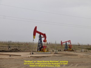
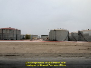
When we were close to Huatugou we saw “donkeys” which were machines that continuously moving up and down, pumping out oil from the underground in Gobi Desert. But the Chinese called them “Head Bowing Machines” instead. Besides, we saw many large circular oil-storage tanks in the desert, showing that Gobi Desert was rich in oil.
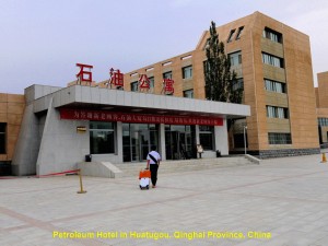
As the journey was smooth we arrived at 7 in the evening at a hotel, Petroleum Hotel, in Huatugou, and stayed there for a night.
Journal of My 2013 China Expedition:
Written by Choo Chaw, Kluang, Johor, Malaysia
Journal of My 2013 China Expedition Part III (Tibet)
Journal of My 2013 China Expedition Part III (Tibet)
(15.8.2013 – 17.9.2013)
Part III
Tibet Journey(Day 11 – 17)
Day 11(25.8.2013, Sunday)
Deqin – Zuo Gong
(Distance: 385 km)
Today it would be a long and difficult journey again, a journey that we had to go to higher ground known as the “Roof of the World” or the Tibetan Plateau of over 4ooo m above sea-level.
Yesterday, we travelled from Lijiang to Deqin where we stayed for a night at Jing Tian Tang Hotel on a high mountain in north-east Yunnan.
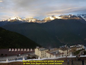
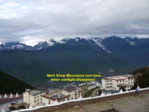
Today, we woke up early. At 7 a.m. while the sun was rising, we went outside the hotel and were awe-stricken by the breathtaking scene of Meili Snow Mountains in the south-west. The mountains were golden in colour for several minutes. But when the sunlight disappeared, they turned blue. We, patiently, waited for a while for the change to happen. Owing to many clouds in the sky, the mountains still remained blue.
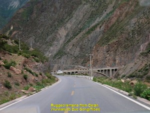
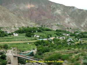
At 8 a.m. we left the hotel and moved down a winding road and then up again. Occasionally, we passed through villages, travelled on roads parallel to rivers, crossed bridges and went through a few tunnels. We stopped at one or two gas-stations for the cars to be refilled.
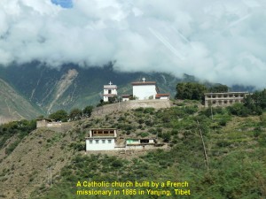
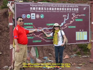
After travelling for three hours in the morning, we crossed a Tibetan border and stopped at a checkpoint where some soldiers checked some of our cars. Then we moved on again to Zuo Gong Town. Several minutes later, in Markam County, Tibet, we saw a Catholic church on a hill in the distance. It was white-washed with two prominent crosses. According to our China guide, it was built by a French missionary, Felix Biet(1838-1901) in 1865 in a Yanjing village or “Yerkalo” village. It was the only Catholic church in the Buddhist country of Tibet. About half of the villagers had become Catholic(500).
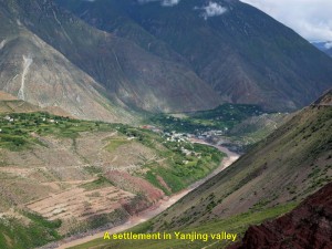
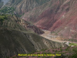
We did not stop to look at the church until we came to a place where we could see from a high ground a river in another village in a valley of Yanjing. That river had red salt on its banks. In the olden days, that salt was an important commodity which attracted traders from near and far creating a salt route in Markam(Mang Kang) County.
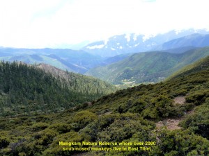
Then we continued our journey . Later, we stopped at another place where we saw a forest reserve, Mang Kang Nature Reserve, from a vantage-point. In that forest, over 2000 snub-nosed monkeys lived.
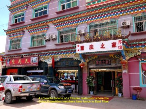
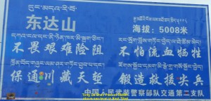
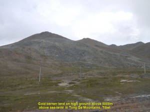
At 12.30 p.m. we left the nature reserve and travelled for an hour and a half before we arrived at a Tibetan restaurant with colourful facade in a town. After our lunch in that restaurant we moved on again. This time we had to go up a mountain pass at 5008 metres above sea-level, Tong Da Shan Pass, and then down the mountain to a town known as Zuo Gong.
When we reached the high pass at 6 p.m. we alighted our cars and looked at the scenes around us. We saw high mountains in the distance, and barren but permafrost-land around us. The air around us was windy and chilly.
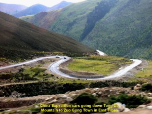
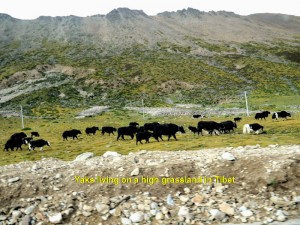
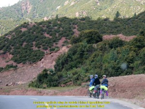
A few minutes later, we made our way down a winding road. On the way we saw cyclists and hitch-hikers travelling west to Lhasa, and passed villages, farms and grasslands where yaks grazed.
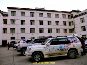
Soon we reached Zuo Gong in the evening, had dinner and stayed at Zuo Gong Hotel for a night.
Day 12 (26.8.2013, Monday)
Zuo Gong – Chang Du
(Distance: 252 km)
Today, we would be taking Route 317 to Lhasa via Tinjin in the north, instead of a shorter one, Route 318 via Pome in the west of Zuo Gong. It was because of a bridge that had collapsed near Pome making the road impassable, and our journey to Lhasa would be over 200 km longer.
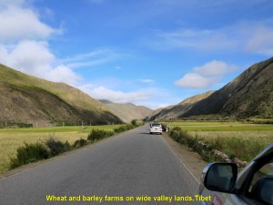
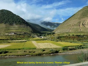
At 8 a.m. we left Zuo Gong and headed north for Chang Du first. On the way, we came across Tibetan villages, wheat and barley farms and grasslands where the yaks grazed.
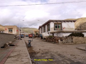
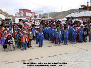
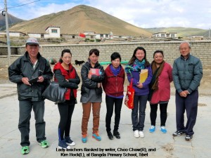
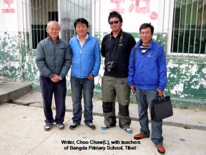
After two hours of travelling, we stopped at a small village, Bangda, and visited a small school. We were warmly welcomed by over 100 children and a few staff. We spent some time interacting with them. Before we left, we gave away some presents to them.
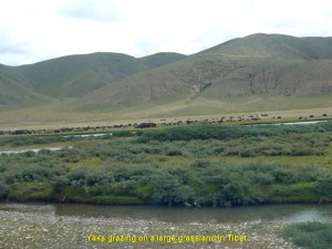
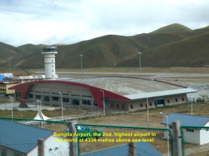
On the way to Chang Du, we came across more villages and farms. There were large grasslands where thousands of yaks were raised by Tibetan nomads. Several kilometres north of Bangda, we saw the 2nd. highest airport in the world, Bangda Airport, at 4334 m above sea-level.
Occasionally, we stopped by a roadside for a short break answering a call of nature and, at the same time, enjoying breathing in fresh air and sights of picturesque natural landscapes.
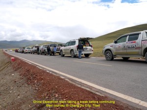
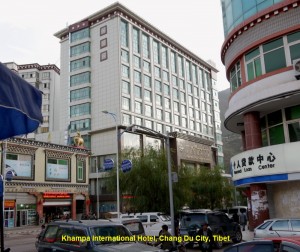
Having travelled for several hours, we, finally, arrived at Chang Du City at 2.30 p.m. where we checked in at a hotel, Khampa International Hotel.
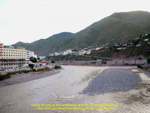
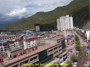
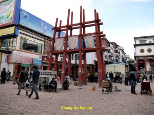
Chang Du City, the 3rd. largest city in Tibet, is located at the confluence of two rivers, Za Qu and Ngom Qu. These rivers flow south and later join up with Lanchang River(Upper Mekong River). After checking in at the hotel, we went out and walked along some streets for sightseeing. Then at 6.30 p.m. we had dinner together at a restaurant near the hotel.
We stayed at the hotel for a night before we left in the morning for Tinjin in the west.
Day 13 (27.8.2013, Tuesday)
Chang Du – Tinjin
(Distance: 248 km)
At 8 a.m. we left Chang Du and went west to Tinjin. The road to Tinjin was rough and problematic.
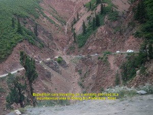
Most of it was winding and not tarred. Where the place was dry, it was dusty, and where the place was wet, it was slippery, soft and dirty. Besides, pot-holes, constant repairs and improvements of many parts of the road delayed our journey, considerably.
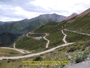
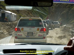
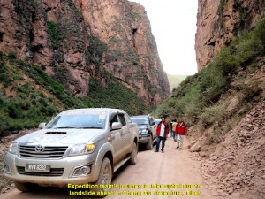
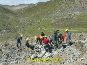
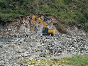
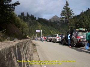
The worst problem was the landslide that covered a few short stretches of the road forcing vehicles to take temporary rough roads that bypassed them, or wait until the road was cleared of landslide-debris. Owing to all those and other unfavourable factors, our journey was not smooth, and we took a much longer time to reach Tinjin at 11.00 p.m.(a journey of 15 hours!)
Although the journey was tough, we enjoyed the beautiful natural sceneries and picturesque villages.
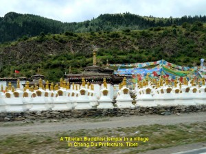
Besides, we saw Buddhist Tibetan temples, grasslands and farmlands. We were thankful to the workers we came across on the journey for repairing, improving or clearing roads of landslide-debris.
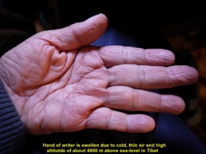
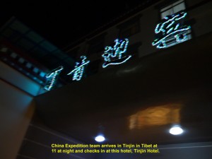
When we arrived at Tinjin at 11 p.m., we felt, completely, exhausted. Some of us felt dizzy and nauseous due to cold, thin air and high altitude of over 4000 metres above sea-level. This sickness is known as “acute mountain sickness”. To avoid this uncomfortable condition, we were advised to take a medicine we had brought along.
At night we stayed at a hotel, Tinjin Hotel, in the city.
Day 14 (28.8.2013, Wednesday)
Tinjin – Nagqu
(Distance: 380 km)
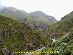
Today, it would be a much longer and worse journey than yesterday’s. Most of it was in the mountainous areas of over 3500 m above sea-level in Nagqu Prefecture.
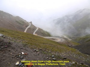
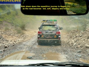
A few high passes of over 4000 m above sea-level had to be crossed before we could get to Nagqu City from Tinjin. Rain often occurred in these areas making dirt roads wet, soft, bumpy and slippery, and slowing down our journey. In spite of all those unfavourable conditions, the sights of the mountainous areas would be spectacular.
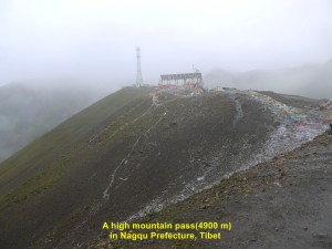
As the journey for today was going to be long, we started at 7 in the morning. We travelled along winding roads in the mountains and roads running parallel to rivers in the valleys. We went up a mountain to reach a high mountain-pass of 4200 m above sea-level, and later a higher one of about 4900 m above sea-level.
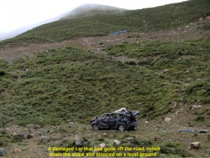
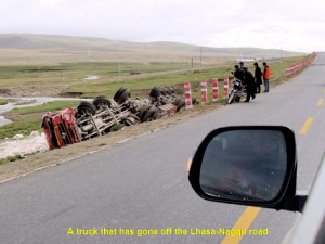
At a place, while going up a mountain, we saw a damaged car on a slope. It might have gone off a road and rolled down the slope for about 300 m before it stopped and stood on its four wheels.
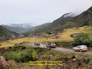
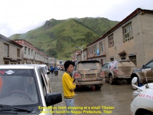
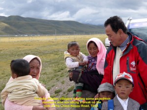
In the lowlands, we passed through villages, barley-farmlands and grasslands. At 11.30 p.m. we stopped for lunch at a small town, and another for dinner at 7.30 p.m.. We also stopped a few times on the roadsides for a short break to answer a nature call and stretch our stiff legs. Sometimes, when we stopped for a break, we met and conversed with friendly strangers.
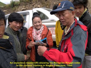
Curious Tibetans learning about Malaysian currency from an expedition member(R) in Nagqu Prefecture, Tibet
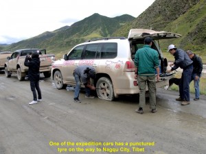
Some of our expedition cars did have some trouble, but, fortunately, they were minor ones. On one occasion, one of them had a punctured tyre and was then replaced, immediately, by three of our helpful China guides. On another occasion, another car, accidentally, brushed against a local car on a soft dirt road in a countryside, and the owner of the latter asked for an unreasonable sum for the minor damage. There was one car belonging to one of our team-members that had an alternator problem in Tinjin. It had to be ordered and sent from Malaysia to Lhasa where it was later fixed in the car in Lhasa.
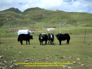
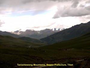
Our journey on high and low lands to Nagqu continued. For the first time in our journey, we saw yaks at close range at 3.30 p.m., and snow-capped mountains of Taniantaweng Mountains at 4,30 p.m. in Nagqu Prefecture in Tibet.
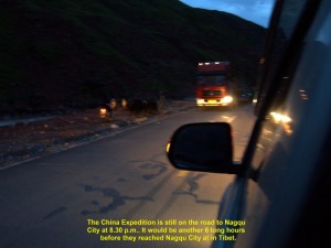
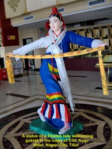
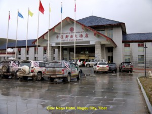
The journey from Tinjin to Nagqu City was a treacherous and unforgettable one. It took us too long to reach Nagqu City causing some of us sick. Anyway, we arrived, safely, at the city at 2.30 in the morning, after travelling a total of 19.5 hours! We checked in at Citic Naqu Hotel, immediately. The moment I entered a hotel room, I went straight for the bed, dropped onto it and slept until late morning.
Day 15 (29.8.2013. Thursday)
Nagqu – Lhasa
(Distance: 383 km)
This morning we woke up very late, as we arrived late at the hotel. At 10.15 a.m. we left for Lhasa, the capital of Tibet, that is south of Nagqu City.
On the way, we saw trains running on the north-south railway a few times. That railway from Golmud to Lhasa(1142 km long) is known as Qinghai-Tibet Railway, the highest railway in the world. About 85% of it is above 4000 km above sea-level, and the highest point it reaches is 5072 m above sea-level. This engineering feat is one of China’s great achievements in this century.
It crosses three mountain ranges, many rivers and lakes, giving its passengers a chance to see many spectacular diverse natural landscape during their whole journey. Its carriages have special enriched oxygen and ultra-violet(UV) protection systems. The trains on this line travels at a speed of about 100 km/h.
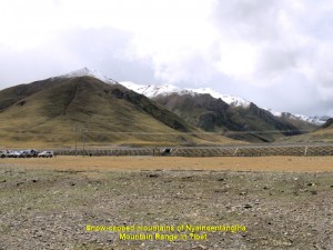
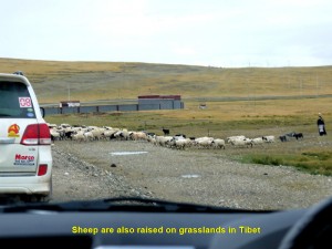
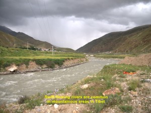
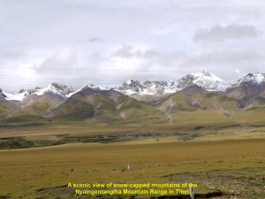
The road to Lhasa was good as it was tarred and most of it was straight and level. After two hours of travelling from Nagqu, we saw snow-capped mountains in the distance on our right. These mountains are known as Nyainqentangiha Mountains. Occasionally, rain fell making the road wet and slippery, and water in rivers flowing, rapidly. While travelling, we passed through valleys, villages and grasslands where yaks and sheep grazed.
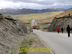
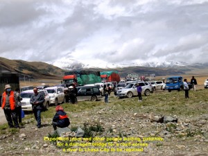
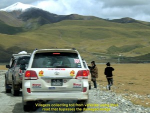
At 12.40 p.m. we reached a place where a long line of vehicles stopped on the road. Later, we learned that a bridge further down the road was damaged and under repair. Our China chief guide went to see the head of a village nearby asking for his permission to use his village road that bypassed the bridge, but he refused despite the willingness to pay him some money.
After two and a half hours had passed, the bridge was not ready yet. So our chief China guide appealed to the village-head to allow us to use his road. He relented, but we had to pay him a toll of RMB50 for each car for the maintenance of his road. We, gladly, paid him and were on our way again. Soon we were ascending a road in a mountainous area and reached a high mountain pass of 4200 m above sea-level at 4 p.m..
At 5.10 p.m. we arrived at Damxung where we stopped at a small restaurant for dinner. After the quick dinner, we moved on again, travelling parallel to a river and the railway. Then we were on a winding and ascending road again in another mountainous area where it was raining heavily.
Finally, at 8.30 p.m. we arrived at Lhasa City, the capital of Tibet. We went straight to a hotel where we were warmly welcomed by the hotel staff and two men in a black yak costume performed a welcome-dance. Then we were each given a long white silk scarf as a gesture of goodwill.
After checking in at the hotel, a few fellow-members and I walked along a main street, East Beijing Road, and stopped at a restaurant where we had western food for supper. Later, we walked to a world famous building, Potala Palace. As it was closed at night we looked at it from a distance. Built on a small hill, it was large and brightly-lit. Later, we took trishaws back to the hotel.
Day 16 (30.8.2013, Friday)
Lhasa Citiy Tour
Today, it would be a relaxing day. We were going to visit two famous tourists’ places of attraction, Potala Palace and Jokhang Temple in Lhasa City.
At 9 in the morning, a bus brought us to Potala Palace. It is a large, unique, majestic-looking building. Built on a mountain(Marpo RI), it has 13 storeys that house statues of Buddha and past Dalai Lamas, shrines, religious murals, scriptures, libraries, etc. At the top storey of the building is the Dalai Lama’s office. (The present 14th. Dalai Lama is in exile in India since the 1959 Tibetan uprising.)
It was built by a king for his two wives in 1645. Later, it became an important Tibetan political and religious centre. Now it is a famous Tibetan Buddhist museum. In 1994, it was designated by UNESCO as a “World Heritage Site”. It attracts over 2 000 Buddhist pilgrims and tourists, daily.
At 10.30 a.m., we entered the palace. We walked up narrow wooden steps to a few storeys to learn about the Tibetan Buddhism and present and past Dalai Lamas. A panoramic view of the city could be seen from Potala Palace.
At 12 noon we came out of the palace. Before we left, we had a last look of the building and were quite impressed by its unique architecture, and understood its importance to the Tibetans.
As we travelled along a main road of the city, East Beijing Road, we noticed that there were no multi-storey buildings. Most of the buildings were a few storeys high, and their fronts were painted with Tibetan designs. Taxis and trishaws were many along the street.
Later, at 2.30 p.m., we went together to visit a well-known Tibetan Buddhist temple which is known as Jokhang Temple, another UNESCO World Heritage Site.
Jokhang Temple is in the centre of old Lhasa city. To the Tibetans, it is the most sacred temple in their country. Many Buddhists from near and far make a pilgrimage to this temple, daily.
According to the Tibetan history, a Tibetan king, Songsten Gampo, built it as a residence for his two foreign wives, a Chinese and Nepalese, in 647 A.D.. Both of his wives brought along with them Buddha statues from their own countries and placed them there. Later, kings of other dynasties made it larger and an important religious place of worship for Tibetans. Now, it has many small rooms that house Buddha statues of different sizes.
In the evening, we had dinner at a restaurant in the downtown. After dinner we went back to our hotel and retired early.
Day 17 (31.8.2013, Saturday)
Lhasa – Nagqu
(Distance: 383 km)
Today, we were all ready for a long jouney. We would be going north from Lhasa and back to Nagqu City, a total distance of 383 km.
At 8 in the morning we started the journey to Nagqu. It was raining slightly and cold as we were heading north. On the way we saw vast grasslands where herds of yaks and sheep were grazing, Qinghai-Tibet Railway crossing the grasslands, and Damxung Horse Race Course where horse races and horsemanship competitions were held during horse festivals.
While travelling on the road we saw some unfortunate trucks in trouble: two went off the road and one of them was being pulled out of a trench by a crane.
At 12 noon we arrived at Damxung and had a simple meal at a restaurant in the outskirt. Then we were on the road again. At 1.30 p.m. we came to Tibet’s largest lake, Namtso Lake or Sky Lake, a salt-lake that is 4718 m above sea-level. The Tibetans consider it a sacred place. When they pray there they ask for blessings from their gods.
On the shore there were many people from near and far enjoying the scenic view of the lake. On the dry ground, there were some shops, including food and beverage shops. There were two towering rocks standing close to each other a few hundred metres away from the shops. Those two rocks were given a name, “Stone Couple”.
At 2.30 p.m. we left Namtso Lake and continued our journey to Nagqu City. Soon we went up a mountain pass which was over 4000 m above sea-level. The mountain we saw was barren.
While we were going down the mountain we saw snow-capped mountains of the Nyaingentangiha Mountain Range in the distance on our left, vast grassland and the Qinghai-Tibet Railway again.
Before we reached a village, we saw a damaged truck on the road that had an accident earlier. On arrival at a village for a break, we saw worship coloured flags and a row of eight whitewashed stupas. According to the Tibetans, the flags are put up in mountainous areas for asking their gods for good blessings, and the stupas are built as sacred structures that symbolise peace, harmony and enlightenment.
At 7 p.m. we, finally, arrived at Nagqu City. We had dinner first before we checked in at a hotel, Na Qu Hotel. When I went into my room I switched on a television and listened to news. I was shocked when a news-presenter said that an earthquake of 5.9 magnitude happened at about 8.30 in the morning in Deqin and Shanggrila counties in Yunnan. It killed about 5 people, injured 49 and closed some roads due to landslides. We were in Deqin 6 days ago!
Journal of My 2013 China Expedition:
Written by Choo Chaw, Kluang, Johor, Malaysia
Journal of My 2013 China Expedition Part II (Yunnan)
Journal of My 2013 China Expedition Part II (Yunnan)
(15.8.2013 – 17.8.2013)
Yunnan Journey(Day 7 – 10)
Day 7 (21.8.2013 Thursday)
Jinghong – Lincang
(Distance: 418 km)
Our China Expedition team had already travelled 6 days, safely, from Malaysia via Thailand and Laos to the present city, Jinghong, in Yunnan, China, and we still had a long journey ahead of us.
Today, at 8.10 in the morning, we left Jinghong for a long journey to Lincang. The road was winding and passing through several tunnels in the mountainous areas. Occassionally, landslides blocked parts of the roads. As we were travelling we came across plantations of pu’er tea and some farms of dragon fruits, corns, lotus plants and tobacco.
At 12.45 p.m. we arrived at a town, Jingku, where we had lunch and bought some pu’er tea(a popular fermented tea). An hour later, we moved on again.
At 4 p.m. we stopped for awhile on a high ground to see a picturesque view of a yellow river, Lanchang River or Upper Mekong River, and its surroundings. Half an hour later, we were off again.
At 5.10 p.m. we reached Lincang City, thanks to the good tarred road. After checking in at a hotel, Lincang Airport Tourism Hotel, and having our dinner, we walked to the Lincang old town nearby to have a look, as the day was still bright.
That old town had many streets and shops. There were many activities going on in the evening, especially along the streets where peldlars were selling their goods, such as clothes, fruits, snacks, footwear and kitchenware, to name a few, and the local people were looking for good bargains.
Later, we returned to the hotel and retired in our comfortable beds.
Day 8 (22.8.2013 Friday) Lincang – Dali – Ljiang
(Distance: 468 km)
At 8 a.m. we had a 10 minute-exercise in the hotel compound to stay healthy all the time, as our expedition was long and arduous. After all the owners of the China Expedition had checked their cars, we left Lincang for another long journey to Lijiang.
After two hours of travelling, we crossed a long, high suspension-bridge, Lanchang Bridge, that is over Lanchang River or Upper Mekong River. We stopped at the bridge to see the natural landscape of the place. Then we continued our journey. We were travelling on a long winding road that brings us to higher ground which was over 2000m.
Soon we reached a city, Dali. It has an ancient town near a lake, Erhai Lake. This ancient town is known as Dali Ancient City, and was built in 764 A.D.. It was a political, economic and cultural centre for a few dynasties in its heyday.
In 1998, with the help of local traders and authority, the ancient town was restored to its past glory. Surrounded by a rectangular wall with two gates, North Gate and South Gate, the town attracts lots of tourists from near and far.
We spent a short time at the ancient city, strolling, leisurely, along its main street, browsing at a few shops, visiting a museum and watching some visitors.
At 4.30 p.m. we left Dali City. On our way to Lijiang, we stopped at a high place to see a panoramic view of a wide valley below. Then we had a snack at a hawker-stall there. As we were eating a hardworking local man washed a few dirty expedition cars for a fee.
Then we were on the road again. At 7.50 p.m. we arrived at an ancient town of Lijiang, Lijiang Old Town, and checked in at Grand Lijiang Hotel nearby. After dinner, we walked to the old town nearby to watch people dancing in circles to the accompaniment of loud Chinese musics.
Day 9 (23.8.2013, Saturday) Lijiang
Today, we were free to go anywhere we wanted. Most of us walked to Lijiang Old Town to see what it was like nearby. That was my second visit.
This small ancient town is the remaining part of the ancient city. It is over 800 years old and was an important trading centre on the Ancient Horse-Tea Route where traders from India, Tibet and south-western China met and exchanged goods.
A river, Jade River, flows from the north to this town and then branches into three streams that run through it. In the beginning, houses were built along these streams. Later, houses were built close to each other in a haphazard manner along narrow streets.
It is a beautiful ancient town of hundreds of quaint wooden buildings of Naxi ethnic minority’s architecture. In 1997, it was declared as a UNESCO World Cultural Heritage site.
I spent a few hours strolling in the town and kept my camera busy. It was quite a popular place, as there were many tourists visiting this well-preserved and clean ancient town.
At 12 noon, I walked alone the old town to another place which is also a tourist attraction. Known as Heilongtan Park(Black Dragon Lake Park), it is not far from Lijiang Old Town. When I arrived at the park, I entered and saw a beautiful garden and some ancient buildings built during the Qing and Ming Dynasties.
As I walked further in, I was totally shocked to see a lake without water. I visited that place two years ago and was fascinated by its beautiful scenery when the lake was full of clear water. The scenery in the photo below was what I saw then and the scenery in the photo below it was what I saw two years earlier. “What a great difference with and without water in the lake in Heilongtan Park in Lijiang!” I told myself.
I walked back to Lijiang Old Town feeling disappointed about the scenery of the park. Before entering the old town, I was attracted by a hill, Lion Hill, which was beautifully covered with thick foliage and a garden where people gathered and pedlars were persuading passers-by to buy their goods.
When I walked over to the place, I smelt a familiar stinking fermented bean snack, “chou doufu”. I followed the odour and saw a man busy selling the stuff which was black. I watched him for a while. As the smell was too unpleasant for me, I did not crave for it. I walked away and went back to the ancient town to have a western fast food as my dinner for a change that evening.
After that delicious meal, I stayed for awhile in the town watching visitors passing by and people dancing in circles.
Day 10 (24.8.2013, Saturday) Lijiang – Deqin (Distance: 359km)
Today, we were going to leave for a place, Degin(3550m above sea-level), in the mountainous area of northern Yunnan. We would have to encounter colder climate, low atmospheric pressure and acute mountain sickness, as the area was over 3000m above sea-level. Besides, the roads were winding and certain parts of them were covered with landslides.
At 8 a.m. we started our journey from Lijiang and headed north. An hour later, we stopped at a high spot which was a vantage point for seeing a spectacular view of valleys, mountains, forests and a river, Jingsha River(Golden Sand River), the upper Mekong River.
After an hour or so of enjoying the sight of the natural landscape, we moved on again. As we travelled, we moved further north and to higher altitude, and the weather became colder. On the way, we saw Tibetan dwellings, and yaks and sheep grazing on high grasslands.
At 12.30 p.m. we reached an ancient Tibetan town, Dukezong Ancient Town. Located in Shangri-la County in Yunnan, it was over 1300 years old. It was once an important trading post on the Ancient Southern Silk Route or Tea-Horse Trade Route.
It had a few narrow streets lined with wooden shop-houses built in Tibetan architectural style. Tourists liked to visit this old town to see the old but beautiful quaint Tibetan buildings. Most of them were shops selling all kinds of Tibetan products ranging from accessories, clothing and leather shoes to silverware, gemstones, jewellery and swords. Besides, there were some restaurants which served Tibetan food.
(A few months after our visit to this ancient town, a big fire destroyed two thirds of it.) Owing to time constraint, we spent an hour at the ancient town and left at 2.30 p.m.. The journey to Deqin was tough as the road had numerous sharp bends and some stretches were covered with landslides. Besides, it went up higher to a height of over 4000m above sea-level and then down to Deqin at the height of 3550m above sea-level. But the scenes in the mountainous areas were breathtaking.
An hour after we left Deqin, we stopped at a popular vantage point from where we could see the first 180 degree-turning of the upper Yangtze River(Jinsha River).
After travelling the whole day, we finally reached Deqin at 7 p.m. and checked in at a hotel on a high ground facing an awesome sight of Meili Snow Mountains in the distance, and overlooking the city in the valley below. The hotel was known as Jing Tian Tang Hotel. Then we had dinner together at the hotel before we retired in our rooms.
Meili Snow Mountains(Meili Xue Shan) located south-east of Deqin in north-western Yunnan have over 20 peaks and 6 of them are over 6000m ab0ve sea-level. The highest peak is Kawakarpo(6740m). The sight of the mountains with snow on their peaks and glaciers on their slopes is always spectacular. To the Tibetan Buddhists, the mountains are a sacred place to them.
Journal of My 2013 China Expedition:
Written by Choo Chaw, Kluang, Johor, Malaysia
Journal of My 2013 China Expedition Part I (Thailand)
Journal of My 2013 China Expedition Part I (Thailand)
(15.8.2013 – 17.9.2013)
In 2013, I joined an interesting, enjoyable and educational overland expedition, China Expedition. It involved a team of 45 Malaysians and Singaporeans, and fifteen 4 wheel-drive cars. It started from Bukit Kayu Hitam, Malaysia, on 15.8.2013, and ended in Beijing, China, on 17.9.2013 via Thailand and Laos. It lasted a total of 33 days.
The map below shows the route taken by the expedition.
As the journal is too long, I have written in a few parts. I hope you will enjoy reading it.
Part I (15.8.2013 – 20.8.2013)
Thailand-Laos Journey
Day 1 (15.8.2013, Thursday)
Bukit Kayu Hitam(Malaysia) – Chumphon(Thailand)
(570km)
In the morning of the first day of our expedition, all the members and cars gathered at the Bukit Kayu Hitam immigration checkpoint. With all the necessary documents ready, we went through the Malaysian and Thailand Danok immigration check-points, smoothly.
At 9 a.m., our long expedition began. We travelled north for about 8 hours to reach a coastal town, Chumphon, in the evening. On arrival, we checked in at a large hotel, Grand Palace Hotel.
Later, we went to have dinner together at a restaurant, Papa Seafood Restaurant, in town. While having dinner, we were entertained with Thai songs by some local singers. After dinner, we strolled along a busy street lined with stalls selling fruits and snacks. Then we went back to our hotel to rest.
Day 2 (16.8.2013, Friday)
Chumphon – Kanchanaburi(Thailand)
(486km)
After a short morning exercise outside the hotel, we left Chumphon at 8.30 a.m. for Kanchanaburi. We went through villages and towns, and passed paddy fields, rubber and coconut plantations. We stopped at a restaurant at Phetchabri for lunch and two petrol-stations to refill our cars.
Having travelled for 9 long hours, we, finally, reached Kanchanaburi town, and went straight to the infamous bridge nearby. It is known as “Bridge over River Kwai”.
During World War II(1939-1945), Japanese invaders forced 240 000 prisoners of war from South-east Asia to build a 418 km-railway and bridges from Bangkok to Rangoon(Yangon) in Burma(now Myanmar). Their purpose was to expand their colony in South-east Asia and India. After the war, it was not used anymore. Now the railway is known as “Death Railway” as it was constructed at a cost of over 100 000 lives and the bridge built across River Kwai is known as “Bridge over River Kwai”.
Many of those prisoners-of-war who died while building the railway and bridges were buried in war cemeteries in Thailand and Burma. There is one that has about 7 000 graves in Kanchanaburi town.
We spent an hour crossing the steel-bridge and visiting a museum nearby. The museum shows exhibits about the construction of the “Bridge of River Kwai” and the “Death Railway” during World War II.
“Bridge over River Kwai” and a short stretch of the “Death Railway” near the bridge in Kanchanaburi are now popular tourist attractions.
At 7 p.m. we had dinner on a floating restaurant next to the bridge. After dinner, we went back to Kanchanaburi town where we checked in at a hotel, River Kwai Hotel, at 8.30 p.m.
Day 3 (17.8.2013, Saturday)
Kanchanaburi – Chiang Mai(Thailand)
(700km)
At 8 a.m., we left the hotel and travelled north for a few minutes to the spot where we could see a short stretch of the “Death Railway”.
On arrival at the spot, we walked a short distance to a small railway station, Thamkra Sae Railway Station, and along the railway track. As we were walking along the track, we could imagine the undernourished prisoners-of-war busy building it under the watchful eyes of the Japanese soldiers. Then we look around us and noticed that it was built close to a cliff on the left and running parallel to River Kwai.
A few minutes later, a train carrying tourists for sightseeing, came and moved slowly on the track. The tourists on the train waved to us as it passed by and we waved back. An hour later, we left the “Death Railway” with feelings of sadness for the poor souls who were forced to build it without proper food and health care during the cruel war.
Next, we travelled north to Chiang Mai the whole day for 5 hours. At 1.30 p.m. we stopped at a town, Nakhom Sawan, for lunch. Besides, we stopped at two petrol stations for the cars to be refilled.
At 7.30 p.m. we arrived at Chiang Mai town where we checked in at Pornping Tower Hotel. After dinner at a food-court in Anusarn Market near the hotel, we took a stroll along a busy shopping street. We visited two large shopping bazaars, Chiangmai Night Bazaar and Kalare Bazaar along the same road, Chan Kian Road.
There was a place near these bazaars, Anusarn Market, where there were seafood restaurants, stalls selling clothings, footwear, handicrafts, etc, and open-air foot-massage service.
At 10 p.m. I went back to my hotel room and retired after a long day.
Day 4 (18.8.2013, Sunday)
Chiang Mai(Thailand)
After a 10-minute morning exercise outside Pornpimg Tower Hotel in Chiang Mai, we travelled for half an hour to an elephant camp, Chokchai Elephant Camp, to watch a 40-minute show performed by a few intelligent elephants. When we reached the camp we crossed two fragile-looking suspension bridges over a small river to the place where an elephant-show would be performed.
In the olden days in Thailand, elephants were used to pull logs in jungles. When logging activities were stopped in Thailand, they were trained to do different kinds of job. They were trained to perform shows, give short joy-rides, trek in countrysides, etc. for tourists. They are now located at a few camps in Chiang Mai area. Tourists visit these camps to enjoy the interesting activities provided by the animals.
While waiting for the show to start, I looked around and saw tourists feeding a few young elephants, riding elephants and sitting on long bamboo-rafts floating down the river. Then the elephant-show began.
In the show, the elephants performed a few tricks. But there was one by a cheeky elephant that was hilarious. It purposely massaged the wrong part of a gentleman’s body lying down. The finale of the show was painting a plant with red flowers by an artistic elephant, and one of our expedition members bought it the moment it was done.
After watching the fascinating elephant show, we went back to Chiang Mai City for lunch, and later we went up the highest mountain, Doi Suthep, in Chiang Mai, where a famous Siamese temple is located on its summit. It is known as Wat Phrathat Doi Suthep.
There are over 300 temples in Chiang Mai. They play an important role in the Thais’ religious, cultural and social life. Among the temples in Chiang Mai, Wat Phrathat Doi Suthep is the largest and most famous sitting on top of Doi Suthep Mountain(1066m). The temple was built by the 6th. Thai King, King Kuena(1355-1385), to house some Buddha relics in a large beautiful golden stupa which is 10 metres high.
The temple is now a popular tourist attraction. Tourists may walk up a stairway of over 300 steps or take a cable-car to the top of the mountain to see the beautiful golden shrine. We went up the mountain to see the temple and from the summit, we could see a superb panoramic view of the city and its airport.
In the evening, we visited Chiang Mai Night Bazaar and Kalare Night Bazaar along Chan Kian Road in the city again hoping to buy something that we wanted.
In Chiang Mai Night Bazaar, I was quite fascinated by paintings which looked like photos and they were for sale. I admired the Thai artists who drew them.
Later, we returned to our hotel and prepared for the journey of the following day.
Day 5 (19.8.2013, Monday)
Chiang Mai – Mae Sai(Thailand)
(251km)
At 9.10 in the morning, we left Chiang Mai for Chiang Rai. On the way, we stopped at a place near Chiang Rai to see a hot spring. It is known as Thaweesin Hot Spring. Nearby, there is a hot spring pool for foot-bath and another one for boiling eggs. After spending 30 minutes in the hot spring area, we continued our journey to Chiang Rai.
Arriving at Chiang Rai, we went straight to a unique and only white Siamese Buddhist temple in Thailand. It is known as White Temple or Wat Rong Khun.
The creator of this unique temple was a 58 year-old artist and painter, Ajarn Chalermchai Kositpipat. He, with the help of over 60 of his art disciples, started building it in 1997 and was still continuing building it to show the world the beauty of modern Buddhist arts, and the importance of peace and harmony among all the nations, regardless of colours and creeds. Besides, he built the most beautiful toilet in the world near the White Temple, but it is golden in colour.
At 3.40 p.m. we left the temple and travelled to a well-known place, “The Golden Triangle” where two rivers, River Khong and River Ruak meet to form a confluence.
The Golden Triangle is an interesting place to visit as it was once a notorious place for growing opium poppies. The plants were grown, extensively, in the northern parts of Thailand, Laos and Myanmar, and eastern part of Myanmar. Later, the governments of these countries banned the poppy-cultivation as the drug was detrimental to their people’s health and economies, indirectly.
On arrival at “The Golden Triangle”, we saw an open-air temple with a large golden statue of Lord Buddha sitting cross-legged on top of a high concrete platform. Standing on a spot on the Thai side at the confluence of River Ruak and River Khong, we could see Laos on the right-hand side of the latter river and Myanmar in between the two rivers. Besides, we could see a casino in Laos that was right across River Khong.
Having spent an hour at the place, we went to a Thai border town, Mae Sai. where we checked in at a hotel, Chour Palace Hotel. After dinner at 7 p.m., we took a stroll along the main street in Mae Sai and then had a simple foot-massage given by local ladies on a five-foot way.
After the massage, we went back to our hotel.
Day 6 (20.8.2013, Tuesday)
Mae Sai – Chiang Khong(Thailand) – Houay Sai(Laos) – Mohan(Yunnan) – Jinghong(Yunnan)
(Total 230km)
Today, we had to rush to China via Laos before the China transport authority in Meng La in Yunnan closed its office for checking foreign vehicles entering China for road-worthiness.
At 7.30 a.m. sharp, we left Mae Sai and travelled north to a Thai ferry-terminal in Chiang Khong.
On arrival at the terminal, we went through the immigration and custom checkpoints. Later we boarded a ferry and crossed the dirty-looking Mekong River. Soon we arrived at the Houay Sai ferry terminal in Laos. It did not take long for our immigration and custom clearance in Houay Sai.
At 11 a.m. after lunch, we left Houay Sai and continued our journey to the north to Borten immigration checkpoint on the Laotian side. In Laos drivers have to drive on the right hand-side of the roads. But most of our drivers on this expedition have driven in Laos before.
On the way from Houay Sai to Borten, we travelled through hilly areas where poor Laotian villagers lived. We stopped at one of the villages for a short while and give away some presents which were mostly daily necessities to the happy dwellers.
Then we moved on and soon we arrived at the Laotian northern immigration checkpoint. At 3.30 p.m., we left the checkpoint and entered a Yunnan immigration checkpoint at Mohan in China.
Once out of that checkpoint, we were greeted by a tour-adviser(Irene Xie), two tour-guides(Siao Gu and Siao Cui) and two drivers(Siao Mok and Siao Wang), all from Yunnan, China. They would help and lead us in our long expedition in China which they knew so well.
Then we left the checkpoint and went to a nearby place, Meng La, where all our cars were tested for road-worthiness.
Fortunately, all the cars passed the test.
At Meng La we had dinner. At 7 p.m. we left for Jinghong City which was 170 km away. The road to the city was good but winding and going up and round mountains. Besides, we were travelling at night. Two hours later, we finally reached the city feeling very tired. We checked in at Golden Phoenix Hotel and retired, immediately, as we had another long journey the following day.
Journal of My 2013 China Expedition:
Written by Choo Chaw, Kluang, Johor, Malaysia
Zhangjiajie Travel I
Zhangjiajie Travel I
Introduction
Zhangjiajie is a land of many spectacular and stunning natural scenic spots in Hunan Province of China. Every year, millions of tourists from all over China and the world flock to the place to see and be mesmerized by its beautiful, unique, natural karst landscapes.
Chiu Travel Sdn. Bhd.
As a travel agency in Batu Pahat, Chiu Travel Sdn. Berhad, strongly recommended an 8 Day 6 Night tour to Zhangjiajie, including a visit to two cities, Macau and Changsha, to my wife and me, we gladly booked with it the tour from 17 August 2012 until 24 August 2012.
Day 1 Saturday, 18 August 2012
Typhoon Kai-Tak
On Friday, 17 August 2012, we were ready to go for the much anticipated tour. But we were disappointed when we were told by the travel agency that the flight from Singapore to Macau was delayed for a day due to a strong wind, Typhoon Kai-Tak, that was blowing from South China Sea to South China soon.
Tour Leader, Boon Teck
A day later, Saturday, 18 August 2012, when the storm was over, my wife and I were brought to Singapore Changi International Airport together with some Malaysian tourists by the agency’s bus. Our tour leader was a young, energetic man, Boon Teck, and his pretty assistant Eeling Png.
Departure to Macau
At 5.45 in the morning, after a delay of two hours, we, finally, flew to Macau by Air Macau. The air-journey took about 3½ hours without any storm-problem. After landing, safely, at the Macau International Airport, we went through 3 immigration check-points before we reached Zuhai city in Guangdong Province in Mainland China at 11.30 am. That was quite a hassle going through the check-points with our heavy luggage. Besides, the check-points were crowded with visitors.
Jingshan, Zuhai
When we were outside the Zuhai immigration check-point, a tour guide, Yang, greeted us and asked us to board a tour bus driven by Lee. Lee, immediately,brought us to a restaurant for lunch. After lunch, we went to the highest hill in Zuhai, Jingshan(Scenic Hill), which is over 100 metres above sea-level. We went up the hill by cable-chairs. Standing on top of it, we saw panoramic views of a Zuhai bay and the city with many multi-storey residential buildings. Then we left the hill at 1.30 p.m. and travelled north to Guangzhou City, a distance of 126 km. At 3.10 p.m., we arrived at the Guangzhou South Railway Station
Guangzhou South Railway Station
Opened on 30 January 2011, Guangzhou South Railway Station is one of the four largest and busiest railway stations in China. It looks like a large, modern airport terminal from a distance. High-speed trains travel from the station to Wuhan City in the north in Hubei Province, a distance of 968 km and the travelling time is 3½ hours
Since 28 August 2011, the maximum speed of these trains was reduced from 350 to 300 km/h following the Wenzhou two-train collision that killed 40 and injured 192 people on 23 July 2011 in Zhejiang Province.
Travellers’ Choice
Nowadays, most of the people who travel short distances in China prefer to travel on high-speed trains. Although aeroplanes fly at higher speeds than trains, the former need more time to taxi, wait for passengers to board(each plane opens a door for passengers to enter), load luggage, check their engines and wait for their turns to take off. Furthermore, airports are located further away from city centres than railway stations, and they require passengers to check-in one or two hours before they fly off. For these reasons, many short-distance travellers in China prefer to go by high-speed trains.
On arrival at the Guangzhou South Railway Station, we were surprised to see many travellers there. Before we entered the waiting area at the station, our bags were screened by a machine and watched by security guards.
When the train arrived at 4.00 p.m., we were allowed to enter the station-platform and board the train coaches according to the coach-numbers and the seat-numbers that were printed on our tickets.
High-Speed Train Ride
At 4.15 p.m., our train pulled out of the station slowly and then moved fast to Changsha Railway Station which is over 700 km away in Hunan Province. On the way, it passed through towns, cities, farmlands and tunnels. It stopped at two cities for passengers to get off and on.
During the journey, I noticed that the train reached the maximum speed of 308 km/h a few times. After 2 hours and 50 mins on the train, we, finally, reached Changsha Railway Station at 7.05 p.m.. We were glad that it was a smooth and comfortable ride without any feeling of the speed.
Zhangjiajie Tour Guide
At the Changsha Railway Station, a Zhangjiajie tour guide greeted us and introduced himself as Ah Chen. We followed him outside the station and boarded a tour bus driven by Cho. Cho brought us to a downtown restaurant for dinner and then to a hotel, Zixin Hotel(Four Seasons Hotel) in Changsha City centre. As we had all spent the whole day travelling, we felt very tired, and retired early at the hotel.
Day 2 Sunday 19 August 2012
Tianmen Mountain, Zhanjiajie
At 8.10 in the morning, we left Changsha City for another long journey by bus. This time we headed north-west to Zhanjiajie City. On arrival at 12.50 p.m., we had lunch at a restaurant. Then we went to a cable-car station in the city, stepped into cable-cars and travelled 7.455 km to a famous mountain known as Tianmen Mountain(Heaven Gate Mountain) which is over 1,450 m above sea-level. The cableway is the longest one in high mountains in the world. It ascends 1,279 metres and climbs the greatest gradient of 37°. It was built by a French company, Poma.
Tianmen Cable-Car Ride
The cable-car ride gave us a wonderful experience. While we were ascending towards the middle station and then the upper one, we could see the landscape changing from the urban lowland to the dense-forested mountainous highland. Midway, we saw on our left a high hole through Tianmen Mountain known as Tianmen Dong(Tianmen Cave) in the distance, and a long, winding road that snaked its way up to the cave.
Tianmen Glass-Walkway
Over 40 minutes later, we arrived at the upper station on top of Tianmen Mountain. We all got out of the station and walked to the west side of the mountain. Then we rented a pair of cloth-shoe covers, put them over our shoes and walked on a glass-walkway built onto a sheer cliff, known as Ghost Cliff(Guigu Cliff). The shoe covers were worn to prevent the glass-walkway from being scratched.
The transparent walkway or “Tianmen Skywalk” is part of the long, narrow trail round the mountain. It is 60 metres long and 1,450 metres above sea-level. That high see-through walkway is not for the faint-hearted who have phobia for heights(acrophobia). I noticed that one of our tour-members felt dizzy as she was walking on it, unsteadily
Breathtaking Views
While we were standing on the walkway and holding onto its railing, we saw panoramic and breathtaking views of the dense-forested mountains, deep valleys below, a small airport and Zhangjiajie city in the distance. Then we continued walking and looking at more beautiful natural sceneries. Soon, we returned to the upper cable-car station. From the station, we got into cable-cars again and moved down to the middle station. Coming out of the middle station, we took shuttle-coaches to another part of Tianmen Mountain known as Tianmen Dong(Heavenly Gate Cave) which we saw earlier.
Tianmen Winding Road
Our coach ascended, noisily, a long, winding, narrow 11 km road with 99 sharp bends to the cave. There were steep slopes soaring high on one side of the road and steep slopes going down on the other side. But our skilful and amazing coach-driver sped all the way up to the cave, effortlessly, in 20 minutes.
Tianmen Cave
We felt relieved, when we reached, safely, the bottom of the cave which was over 1000 metres above sea-level. Standing at the bottom, we looked up and was awe-stricken to see a large hole that went through the eastern part of the Tianmen Mountain. It is known as Tianmen Cave(Tianmen Dong).
Tianmen Cave Events
This cave has been well-known worldwide for many years because of some events that have taken place there. In 1999, a team of 15 stunt pilots from around the world flew their old-fashioned mono-planes through the cave several times for a fund-raising cause. In 2006, a team of Russian pilots in small fighter-jets flew through it for a special televised fund-raising show.
Alain Robert, “Spider-Man”
In 2007, Alain Robert, a skilful climber from France and popularly known as “Spider-Man”, was invited by Zhangjiajie local government to climb up the steep wall of the cave. He did it with bare-hands and without any safety harness. He climbed 200 metres to the top in 40 minutes. All these events have boosted the profile of Tianmen Cave.
A Climb of 999 Steps
To reach the cave, visitors have to climb 999 steps. That is a lot of steps to climb, and besides, a few staircases are steep. My wife and I took it as a challenge, although we were over 60.
At first, it was easy to climb up many steps. Later, we felt our legs were getting heavy and had to stop for awhile. Then we climbed again and stopped again. We did that a few times and had never thought of giving up. As we climbed up, we watched young and old people climbing up too. We noticed that some were struggling after climbing half-way.
A Worthwhile Effort
Soon, we reached the cave we felt a great sense of achievement to have climbed up so many steps. From the cave, as we could see below and in front of us breathtaking sights of natural landscapes, people going up and down the steps and the treacherous road that snaked its way up to the cave. Furthermore, behind the cave, we could see dense-forested mountains and lush valleys
The cave is like a short tunnel of 60 metres deep. It has a shape of a trapezium with a height of 130 metres and 60 metres wide at its base. Standing in the cave and looking up, I could imagine small planes and fighter-jets flying through it several times, and Alain Robert or “Spider-Man” climbing up the sheer cave wall with his bare hands.
Return to Zhangjiajie City
Having seen enough of the beautiful sceneries from the cave, we went down the steps, slowly and carefully. We could not afford to make any false step, otherwise, we would tumble all the way down to the bottom and land ourselves in a hospital. When we reached the bottom of the steps, we took a shuttle-coach again and returned to the middle cable-car station.
At the crowded station, we had to queue up for several minutes. Then we got into cable-cars and went down to the lower station in Zhangjiajie City. At 6.30 p.m. we reached the station and went to a downtown restaurant for an early dinner, as we were going to watch a live performance known as “Tianmen Fox Fairy Tale” in a large open-air theatre in a grand valley of Tianmen Mountain.
After the meal, we went straight to the theatre. In the theatre, we were surprised to see lots of people and amazed to see a large stage that had Tujia ethnic minority mountain houses built on the left, large tree-trunks in the middle, terraces on the mountain slope on the right, and towering mountains in the background.
Before the show started, a short auction of large and long Chinese paintings was carried out on the stage. Surprisingly, all the auctioned paintings were snapped up.
“Tianmen Fox Fairy Tale” Performance
At 8.30 p.m. sharp the show began. It was about a fox fairy, an immortal, falling in love with a poor farmer, a mortal, in a Tujia village. The story originated from a local folk-tale. It was depicted in a musical drama performance involving a cast of over 500 performers in traditional costumes. Hundreds of people, each paying RMB 400, packed the theatre to watch the performance. The show was long and lasted for 2½ hours. It ended with the man and the lady married, had a family and lived together, happily. That story is quite different from the Romeo and Juliet’s, as the two poor lovers died in the end.
We left the theatre, immediately, after the performance, and went straight to a hotel, Wantai International Hotel, in the city, where we retired for a night.
Monday 20 August 2012
Junsheng Sand & Stone Painting Institute
In the morning after breakfast, we went to an unusual art gallery at Junsheng Sand & Stone Painting Institute in Zhangjiajie City. It showcases unusual paintings which are done not with oil-paints or water-colours, but sand, stones, straw, tree-bark, and other natural materials. The artist who creates such paintings is a 49 year-old Zhangjiajie man, Li Jungsheng. He has opened the gallery to tourists since 2001. He first created this kind of paintings, while he was studying arts in Changsha City in the 1980s. His creations have been exhibited, successfully, in large cities in both China and foreign countries. Some world leaders have visited his art gallery and appreciated his artistic skills.
We spent some time looking at many beautiful paintings at the gallery. Before we left the place, my wife and a few of our tour-members bought some of Junsheng’s small art pieces as souvenirs. The one my wife bought showed a Zhangjiajie scenery of a valley and peaks.
Zhangjiajie Giant Biotechnology Museum
Later, we visited another place, a museum known as Zhangjiajie Giant Biotechnology Museum. Opened in 2010, the museum showcases the life history of giant salamanders that live in dense forests of Wulingyuan located in the north-west of Hunan Province. There are some small and very large live salamanders for tourists to see there.
Giant Salamanders
Giant salamanders which are amphibians have existed on our planet since 350 million years ago. They can grow as long as 2 metres, weigh as much as over 100 kg and live for over 200 years. They inhabit in streams, rivers, lakes and caves, and
feed on fish, shrimps, crabs, mussels and aquatic insects. They are now an endangered specie, as many of them have been over hunted. Besides, many of their habitats have been destroyed for human settlements, economic developments, construction of roads, etc.
Dr. Tea
From the giant salamander museum, we went to a shop called Dr. Tea. In the shop young pretty sales girls first introduced a few kinds of tea and prepared some for us to taste. Then they persuaded us to purchase them. As they were quite expensive, only a few among us bought them.
Wulingyuan Mountainous Region
The next place we went to was a scenic spot known as Tianzi Scenic Spot(or “Son of Heaven” Scenic Spot). This place is located in the centre of the Wulingyuan mountainous area and north-west of Zhangjiajie city.
Wulingyuan mountainous region has undergone over 380 million years of weathering resulting in the formation of over 3 000 sandstone peaks. Some of them cluster together while others are standing apart. In 1992, Wulingyuan mountainous region was designated as a UNESCO World Natural Heritage site and in 2004, a UNESCO World Geo-Park.
Wulingyuan consists of many national natural parks. Among them is Zhangjiajie National Natural Park that has a few scenic spots, like Tianzi and Yuangjiajie.
Tianzi Mountain
Arriving at the entrance of Tianzi Scenic Spot, we took a shuttle bus to a cable-car station on a higher ground. On the cable-car ride to the Tianzi Summit, we saw on our left and right beautiful peaks covered with some dwarf pine trees. Several minutes later, we reached the top of Tianzi Mountain that is over 1 000 metres above sea-level. On its summit, we could see near and far breathtaking views of deep lush valleys, dense-forested mountains and some peaks with some small pine trees. Furthermore, we could see a few Tujia villages in the distance in a deep valley, thanks to the sunny clear weather then.
Marshal Helong Park
Then we walked for about ten minutes to another place known as Marshal Helong Park. Erected at the park is a tall, massive bronze statue of a famous man known as Marshal Helong. This 6.5 metre-high figure was created by a well-known Chinese sculptor, Pan He. He made its body that looked like the common structure of the sandstone peaks in the Tianzi Scenic Spot. The statue of Marshal Helong was erected there to commemorate his contributions to China during the time he served the Communist Party under Chairman Mao Zedong.
Marshal Helong(1896 – 1969)
Marshal Helong(1896 -1969) fought for the Chinese Communist Party in China Civil War and the 2nd. Sino-Japanese War in north-west China. The Communist Party under Chairman Mao Zedong overthrew the Kuomintang(KMT) Government in 1949, and its leader named China as People’s Republic of China(PRC). During the Communist Party rule, Marshal Helong held a number of important civilian and military positions, and was once China’s Vice-Premier. But in 1966, during Cultural Revolution, he together with other senior leaders were purged by Chairman Mao Zedong for taking a “capitalist road”. While he was under house arrest in 1969, he died of acute diabetes. When Deng Xiaoping came to power in 1978, Marshal Helong was posthumously rehabilitated.
Tianzi Peaks
Having seen the stature, we followed a long trail which was teemed with tourists. As we walked along the high and winding trail, we marvelled at tall sandstone peaks of different heights and shapes. Most of them look like rectangular prisms with their tops either flat or pointed upwards like obelisks. The splendid and magnificent peaks covered partially with small pine trees are a sight to behold. Those peaks have names given by the local people, such as Stone Peak Forest, Imperial Writing Brush Peaks, Yunqing Rock, Master Sword, etc.
Yuangjiajie Scenic Spot
Later, we went to another scenic spot, Yuanjiajie, which was nearby. In this area, the trail was longer and we saw more sandstone peaks which had names too, like First Natural Bridge in the World, Five Ladies’ Expedition, Celestial Tortoise Looking Up at the Heaven, Southern Sky Peak, Enchanting Stand, etc.
“Avatar”
The beautiful and unusual sandstone peaks in this area have inspired a Hollywood photographer to take pictures of them and use their images as floating “Hallelujah Mountains” in a blockbuster 3-D movie, “Avatar”(released in 2009). One of them, Southern Sky Peak, a tall slender peak with some small pine trees growing on it and soaring to a height of 167 metres, is renamed “Avatar Hallelujah Mountain”. As we walked along the trail we were mesmerized by all those unique and mystical peaks standing tall in dense-forested and deep valleys.
Old visitors who cannot walk on the winding trail can get the service of strong sedan-chair carriers for a fee.
Bailong Tourist Lift
Later, we left the highland and went to a place to take a lift to go down to a lowland in Suirao Simen Scenic Spot in Zhangjiajie National Park. The lift known as Bailong Tourist Lift and opened in 2002 is in the Guinness Book of World Records for being the only highest and fastest outdoor glass-lift(326 metres high) in the world. Built onto the side of a high cliff in the Wulingyuan area of Zhangjiajie, it has the largest carrying passenger-capacity in the world.
Suirao Simen Scenic Spot
As the lift was moving down to Suirao Simen Scenic Spot, we could see a beautiful scenery outside through its glass-wall. The lift brought us to the bottom of the cliff in about 2 minutes. Walking out of the lift, we saw beautiful peaks soaring high in front of us. Nearby is a stream known as Golden Whip Stream(or “Jinbian” Stream) that flows through a gorge with dense forests. Following a trail of over 5.7 km along the stream, one can see peaks on both sides, flora and fauna too.
As we were walking on the trail, we felt refreshed in the cool forest. We listened to some birds chirping and a winding stream flowing. After walking a short distance, we turned back and went to a place where we took a shuttle-bus to the Tianzi Scenic Spot exit. On arrival at the exit, we boarded our tour bus and headed to a restaurant to fill up our empty stomachs. Then we went to stay at another hotel in the downtown, Emperor Hotel.
( continued on Zhangjiajie II )
Written by Choo Chaw, Kluang, Johor, Malaysia

