Journal of My 2013 China Expedition Part V (Xinjiang)
Journal of My 2013 China Expedition Part V (Xinjiang)
Xinjiang Journey
Day 20 (3.9.2013, Tuesday)
Huatugou – Rouqiang
(Distance: 450 km)
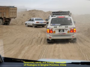
At 8.50 a.m. we left the quiet town of Huatugou near the Qinghai-Xinjiang border in north-eastern Qinghai Province, China. We were going north to Rouqiang which was 450 km away. When we left the town we were shocked to find that the first 70 km of the road was not the highway, but soft, sandy bumpy road in a desert. A stretch of the highway was still being improved. Luckily, all our expedition cars were 4-wheel drive vehicles, otherwise it would be difficult for them to move on that rough temporary road.
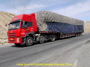
On the road or highway, there were many large trucks carrying all kinds of goods travelling on the same route as we were travelling.
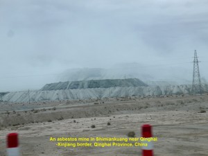
At 11.00 a.m. we saw asbestos mines and workers’ living quarters in Shimiankuang near the Qinghai-Xinjiang border and south of Kunlun Mountains. According to a China national mining report a few years ago, Qinghai Province produced the most asbestos in China. It had about 64% of the national reserve.
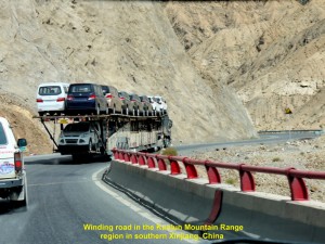
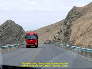
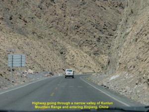
Half an hour later, we were travelling on winding road that cuts through the barren Kunlun Mountains and then entered Xinjiang Province from a high elevation of 2800 m to a low land of 800 m above sea-level.
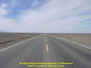
While travelling on a flat, vast dry land, north of Kunlun Mountains, our cars experienced cross-wind a few times, and we were excited whenever we saw mirages, and sand moving and spiralling upwards in the distance.
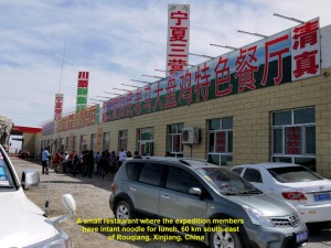
At 2 p.m. when we were 86 km closer to our destination, we saw sand dunes of Taklamakan Desert. Half an hour later, we stopped at a small restaurant and had instant noodles for our late lunch.
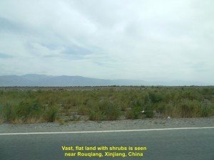
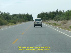
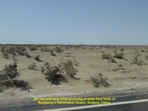
After that simple meal, we continued our journey. As we were going to reach Rouqiang, we began to see shrubs growing on vast, flat land, and later tall trees along the highway.
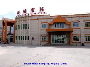
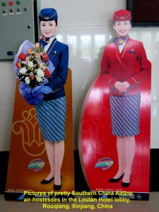
At 3.30 p.m. we, at last, reached Rouqiang, our destination for the day, and checked in at a hotel, Loulan Hotel, where we met Miss Chow, our Xinjiang tour-guide. In the lobby, there was an attractive poster showing two beautiful air-hostesses working for China Southern Airlines, the world’s 6th. largest airline company.
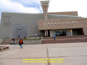
After leaving our luggage in our hotel-rooms we followed Miss Chow to a museum, Loulan Museum, which was nearby.
In the museum, we were not allowed to take photos and were closely watched. We followed Miss Chow inside the museum and she explained and described the exhibits displayed.
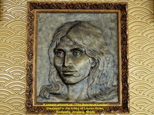
We saw some corpses inside but they had been mummified and desiccated by desert conditions. Miss Chow said that they were buried a few thousand years ago and taken from cemeteries in places such as Qawrighul(Gumugou), Miran and Loulan in Tarim Basin north of Rouqiang, several years ago. She pointed at a mummified body that was the best-preserved as her facial features could still be seen, clearly. She was known as “Beauty of Loulan” who was buried 3800 years ago in Loulan that was north of Rouqiang. The image of her face could be seen on the left front wall outside the museum and in the hotel we had checked in earlier.
It is believed that people had migrated from the Indo-European regions to Tarim Basin in Xinjiang since 5000 years ago. But a few thousands years later, the basin became dry and many places were deserted and became ruins. Many well-preserved bodies or mummies were discovered in cemeteries in those ruined places. One of them was known as “Beauty of Loulan”.
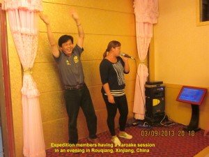
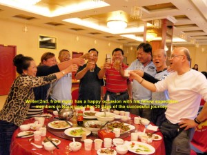
At 7 p.m. we had dinner together at the hotel. After dinner, we had a karaoke session for the first time since we started the expedition and beer flowed freely making some of our fellow members drunk. But all of us enjoyed that happy and unforgettable occasion.
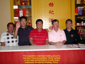
Expedition members proudly stand in front of their Chinese surname, “Yang” in Loulan Hotel restaurant, Rouqiang, Xinjiang, China
Day 21 (4.9.2013, Wednesday)
Rouqiang – Korle(Koria)
(Distance: 440 km)
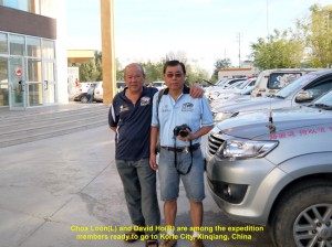
At 9.00 a.m. all the expedition members were ready to go north to the 3rd. largest city of Xinjiang, Korle. Half an hour later, our journey began.
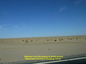
We would be traversing a dry, hot, harsh and vast land of Taklamakan Desert. Most of the areas in this desert were devoid of vegetation as average annual rainfall was about 25 cm. Only plants with long roots could survive in those harsh areas of the desert.
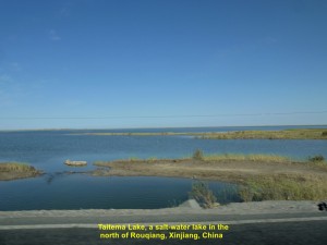
It was a smooth journey on the Rougiang-Korle Highway for the first hour. We came across a large salt-water lake, Taitema Lake, several kilometres north of Rouqiang. That was the only place we saw water while travelling to Korle City.
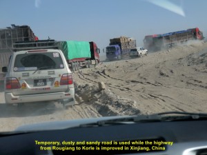
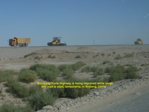
At 10.30 a.m. we had to slow down our journey. We were forced to take a rough, dusty, bumpy and sandy road, as a long stretch of highway was being improved. After that stretch of highway, it was a smooth journey to Korle City.
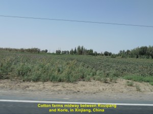
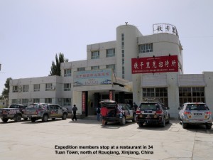
At 1 p.m. we reached a small town, 34 Tuan, where we had lunch. That town was hot and dry. It was a suitable place for planting red dates and cotton.
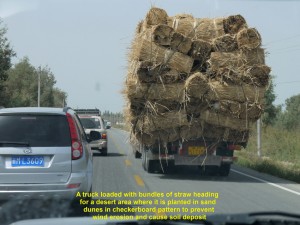
An hour later, we left the town and were on the highway again. We came across a truck fully loaded with bundles of straw. It was heading for a desert area where the straw would be planted in checkerboard pattern in sand dunes to prevent wind erosion and cause soil deposit.
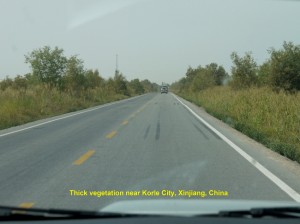
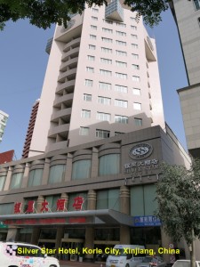
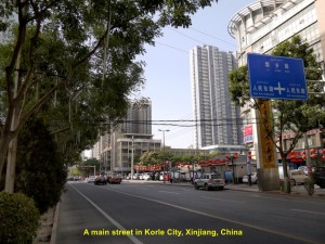
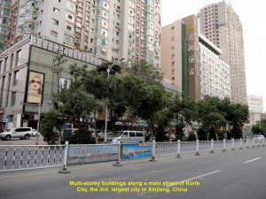
As we were reaching Korle City, we noticed that the land was covered with thick vegetation due to sufficient underground water. At 5 p.m. we reached Korle City, a vibrant city of about 450,000 people. We checked in at a hotel, Silver Star Hotel, and at 7 p.m. we had dinner in its restaurant.
Day 22 (5.9.2013, Thursday)
Korle(Koria)-Urumuqi
(Distance: 242 km)
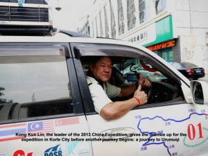
At 9 in the morning our journey continued. We were going to the capital of Xinjiang, Urumqi, from Korle. When our leader of the China expedition, Kong Kun Lin, gave the thumbs up, we were all glad to continue the journey on the 22nd. day of our expedition.
As we moved out of Korle, we saw farms of sunflowers, tomatoes, chillies and other crops on both sides of the road. Tall, straight and leafy trees known as “yi” were grown round them to ward off strong wind.
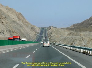
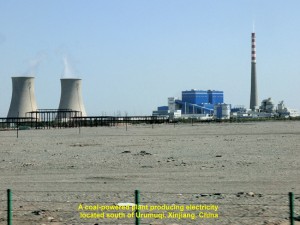
Two and a half hours later we were travelling on the expressway passing through mountainous areas. Later, we were travelling on a vast, flat, arid land, and saw a large coal-fired power station in the distance.
China has many coal-fired stations all over the country. They are causing severe air-pollution that poses health problems which the country is trying to tackle.
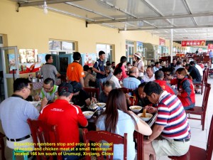
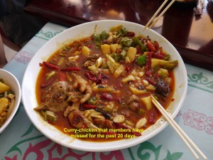
At 1.30 p.m., we stopped at a small town which was 166 km south of Urumqi to have lunch. We were elated when we were told that one of the dishes was a spicy one, and it was curry-chicken, a spicy food that we had missed for the past 21 days of the expedition.
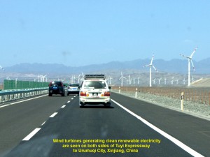
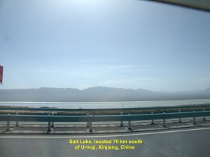
After the delicious meal, we continued travelling. An hour later we saw many tall wind-turbines on flat barren land that were generating clean electricity. Soon we came across grasslands where sheep were grazing and then passed a large lake, Salt Lake, that was 70 km from Urumqi.
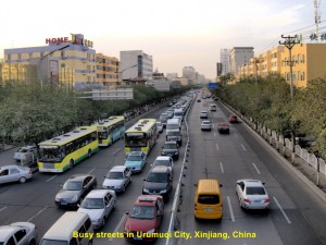
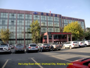
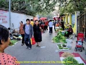
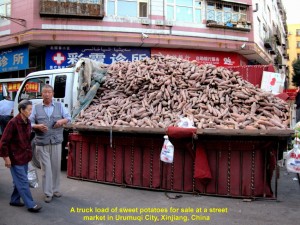
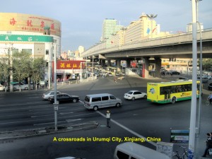
At 6 p.m. we reached Urumqi, finally. After checking in at Hai Long Guan Hotel in the city, my brother and I went to explore a street-market nearby. It was crowded. People were buying vegetables, clothes, snack-food, etc. That reminded me of the morning or evening markets in my home-town.
Day 23(6.9.2013)
A Day in Urumqi
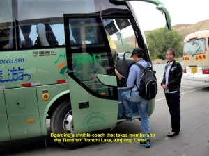
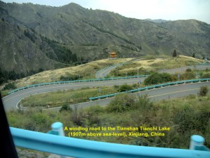
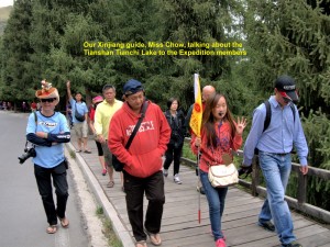
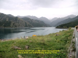
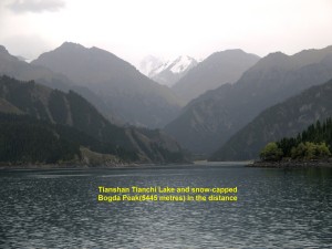
At 8.30 in the morning, we travelled over 40 km east to a mountainous area, Tian Shan. On arrival at the foot of the mountains we took a shuttle-coach twice. It went up a winding road passing through pine forests. Soon we reached a lake, Tianchi(Heaven Lake), that was about 2000 metres above sea-level.
Tianchi Lake was formed when a valley was dammed by moraines brought down from the mountains, Bogda Mountains, by glaciers and filled with water brought down by a river flowing from the mountains in the south. The surface area of the water in the lake was about 4.9 sq. km. and the deepest part of it was 105 metres.
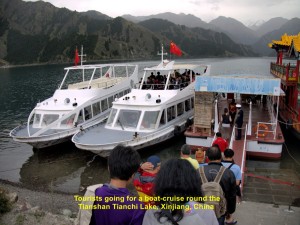
The lake surrounded by mountains with pine trees looked beautiful. We took a 30-minute boat-cruise round the lake and were fascinated by its beauty.
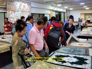
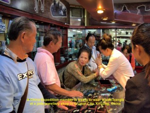
At 2.30 p.m. we left the lake by another shuttle-coach to the bottom of the mountains where we boarded our coach. The coach then brought us back to Urumqi City where we visited a carpet and jade-jewellery shop.
Later we went for dinner and back to our hotel to rest.
Day 24(Saturday, 7.9.2013)
Urumqi – Hami
(Distance: 581 km)
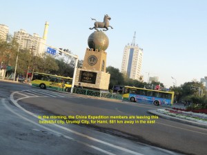
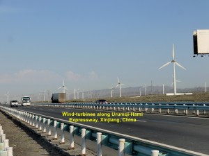
At 8.30 a.m. we left Urumqi City for another city, Hami, which was 581 km away in the east. As we were travelling on the expressway, we saw lots of wind-turbines on the vast arid land. Occasionally, strong cross-wind hit our vehicles.
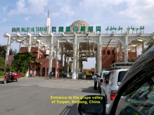
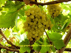
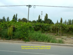
After travelling for four hours, we reached a grape valley, Turpan Grape Valley, where grapes were chiefly grown for making raisins.
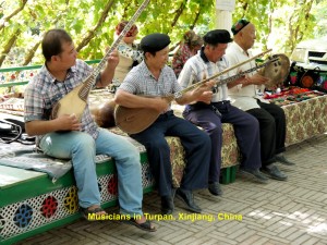
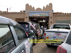
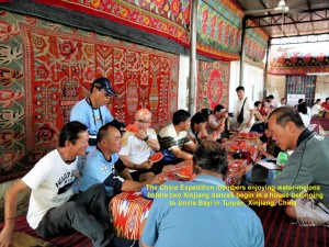
Then we visited a grape-grower’s house, Uncle Bayi’s house. We were warmly welcomed and entertained by two Xinjiang’s exotic traditional dances. Immediately after the dances, Uncle Bayi’s son introduced to us a few kinds of raisins and encouraged us to buy them. He was very happy when many of us bought them.

Two pretty girls performing an exotic dance for the China Expedition team in Uncle Bayi’s house, Turpan, Xinjiang
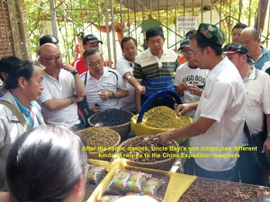
Uncle Bayi’s son talking about different kinds of raisins to the China Expedition team in Turpan, Xinjiang
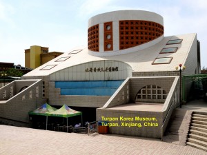
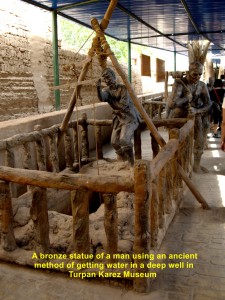
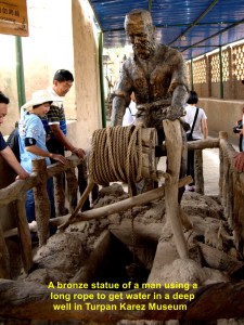
Then it was lunch-time. We went to a restaurant in the city and had simple local dishes for lunch. But most of us did not eat very much as our Malaysian taste-buds were quite choosy. After lunch we walked to a museum which was nearby. It was known as Turpan Karez Museum and showcased the ancient irrigation system or Karez Water System adopted in the hottest , driest and lowest region in China, Turpan Basin or Turpan Depression for the past 2000 to 3000 years.
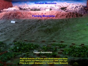
A model showing China’s hottest, driest and lowest region, Turpan Basin, where the Karez system is used, extensively.
In this system, canals are dug underground to channel water from snow-capped mountains, e.g. Tianshan, Jueluotageshan and Bogdashan, and watershed areas to wells and farmlands in the Turpan Basin. The advantage of these underground canals is that less water is lost due to evaporation in the hot, dry Turpan Basin and the inhabitants are able to get water all year round.
With the help of the Karez System, fruits could be grown in this region, such as grapes, watermelons, muskmelons, apples, peaches, etc. Most of the farmers here cultivated grapes which accounted for 90% of China’s total seedless grape production.
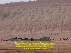
At 3.30 p.m. our journey continued. An hour later we stopped at a gas-station to refill the vehicles. Looking across the expressway from the station, we saw a red mountain range, Flaming Mountains or Gaochang Mountains.
Owing to erosion caused by occasional heavy rainfall, deep gullies and trenches were formed on the slopes. The range which was 100 km long, 5-10 km wide and 500 m high was red and barren giving a flaming appearance, hence its name. There was a large and tall thermometer at the foot of it that measured the current temperature. In summer the temperature in this Turpan Basin can be as high as 50 degrees Celsius or much higher.
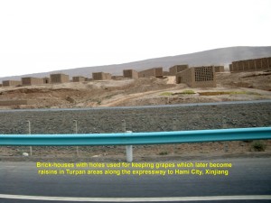
Then we were on the way to Hami City again. After the Flaming Mountains we were crossing a vast, arid, undulating land and brick-houses with holes could be seen on both sides of the expressway. Those special houses were built for keeping fresh seedless grapes that would later become raisins due to the desert climate.
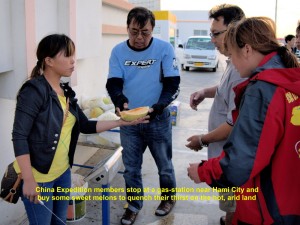
The tired China Expedition members enjoying eating the sweet Donghu Hami melons at a gas-station west of Hami City, Xinjiang
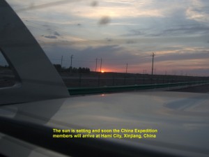
The sun is setting at 8 p.m. but the China Expedition team is still travelling on the expressway to Hami City, Xinjiang
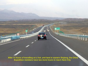
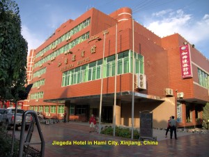
At 7.30 in the evening we stopped at a gas-station to refill our cars and enjoyed eating the sweet Donghu Hami melons. Then we moved on again. At 8 p.m., when the sun was setting, we were still on the expressway. Finally, at 9.30 p.m., 13 hours after we left Urumqi City, we reached Hami City, and checked in at a hotel known as Jiageda Hotel, happily.
Journal of My 2013 China Expedition:
Written by Choo Chaw, Kluang, Johor, Malaysia

