USA West Coast Travel Part III (Grand Canyon)
Filed under: USA, USA West Coast Travel Part IV (Las Vegas City)
USA West Coat Travel Part III (Grand Canyon)
Day 5 (Tuesday, 27.5.2014)
Las Vegas City – Grand Canyon
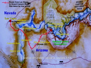
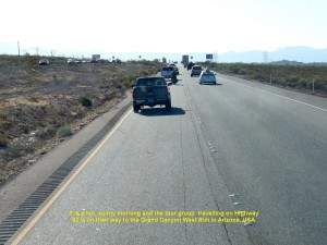
Tour group taking a route, Highway 93, from Las Vegas City in Nevada to Grand Canyon in Arizona, USA
At 7 in the morning of Day 5, we left Las Vegas City for the spectacular view of the Grand Canyon in the West Rim in Arizona. First, we were heading south-eastwards on Highway 93.
Lake Mead & Hoover Dam
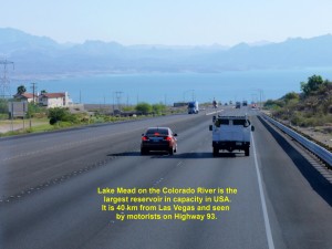
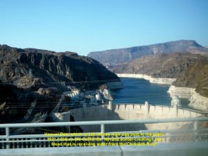
Half an hour later we saw a large lake, Lake Mead, which is on the Colarado River and the largest reservoir in capacity in USA. Located about 40 km from Las Vegas City, the river receives rainfall and snowfall in the Rocky Mountain areas and flows into the lake. The lake is blocked by a large dam, Hoover Dam, that was built in the years 1931-1936 during the Great Depression on the California-Nevada border to meet the demands for water and electricity in California, Nevada and Arizona. It is a popular tourist attraction.
Grand Canyon Ranch
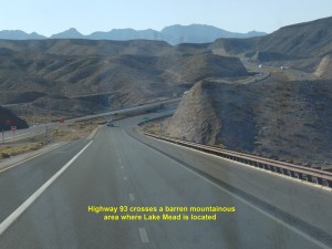
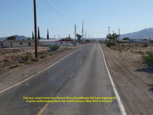
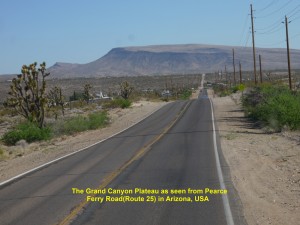
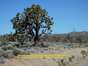
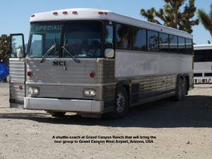
As Hoover Dam was not on our itinerary, we continued travelling southwards on Highway 93. At 7.40 a.m. we crossed the California-Nevada border where Hoover Dam was sited. After crossing a mountainous area and then low, flat valley, we turned east into a narrow road, Pearce Ferry Road(Route 25). It crossed a Mojave Desert area where large Joshua trees and shrubs were growing well. At 9 a.m. we stopped at a place, Grand Canyon Ranch, in the Hualapai Indian Reservation in Arizona where we alighted our coach and waited for a shuttle-coach to take us to Grand Canyon West Airport.
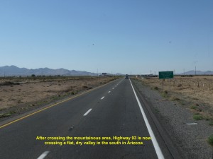
After crossing a mountainous area, Highway 93 is now crossing a dry, flat valley in South Arizona, USA
E. Diamond Bar Road
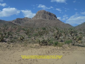
Several minutes later, it came and we boarded it. As a new road, E. Diamond Bar Road was under construction, it travelled on a bumpy dirt road until we came to a good road, Buck and Doe Road, which led us to the Grand Canyon West Airport. As we were travelling on Buck and Doe Road, we saw some scenic views like buttes which were flat-topped, isolated hills, undulating desert areas with Joshua trees and shrubs, and plateaus.
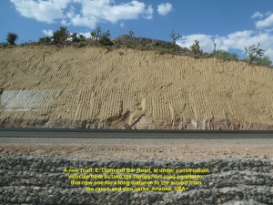
As a new road, E. Diamond Bar Road, is under construction, the tour group is travelling on a bumpy, dirt road to the Grand Canyon West Airport in Arizona, USA
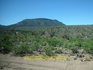
A butte, a flat topped-hill in the Grand Canyon area, as seen from E. Diamond Bar Road, Arizona, USA
Grand Canyon West Airport
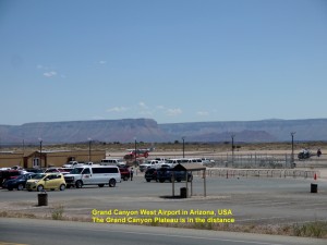
On arrival at the Grand Canyon West Airport at 10 a.m., we saw many tourists waiting for their transport to the Grand Canyon viewing spots, Eagle’s Point and Guano Point, and Hualapai Ranch where they could learn about the tradition and culture of the Hualapai tribe.
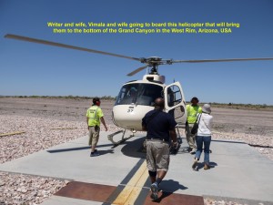
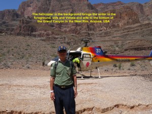
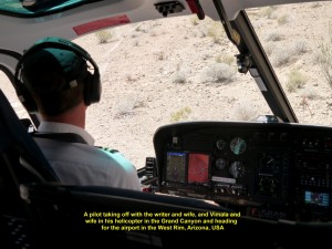
Four of us in our tour group, Vimala and his wife, my wife and I together took a helicopter ride to see the aerial view of the Grand Canyon, while the others travelled by shuttle-coaches to the two spots, Eagle Point and Guano Point, to see the Grand Canyon and the Hualapai Ranch.
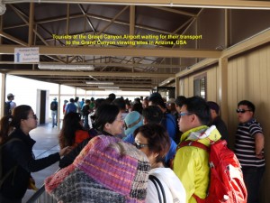
Tourists at the Airport waiting for their transport to the Grand Canyon visiting spots in Arizona, USA
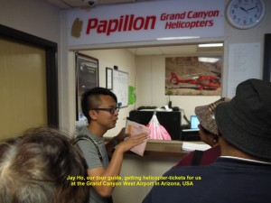
Jay Ho, the tour group guide, buying helicopter-tickets for some members at the Airport, Arizona, USA
Helicopter Ride
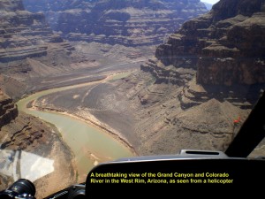
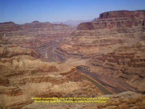
At 11.00 a.m. we boarded a helicopter and flew low over a flat, vast, barren land. A minute later, we were awe-stricken when we saw below us through the transparent windows and doors an awesome view of one of the Nature’s beautiful creations, the Grand Canyon.
Formation of Grand Canyon
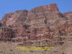
According to some geologists, the Grand Canyon area was a high plateau raised by the pressure under the earth’s crust about 16 million years ago. Then 6 million years ago a river, Colorado River, appeared and started to cut across it, continuously, and, finally, reaches the present bottom level several hundred metres below the surface. The river continues to deepen the canyon while its walls keep widening by weathering forces. The Grand Canyon is now 446 km long, and can be as wide as 29 km and as deep as over 1 800 metres. It is an ideal place for geologists to study the history of the earth as its steep sides expose layers of rocks of different geological periods.
Grand Canyon Scenic View
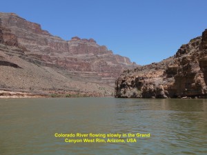
As we were flying in between the sides of the canyon and over the Colorado River below, we could not take our eyes away for a moment from the spectacular sight of the canyon. Flat, table-like land masses with steep sides(mesas), isolated flat-topped hills(buttes), the deep canyon(gorge) and the slow-flowing Colorado River were beautiful physical features that we were seeing.
Colorado River Boat Ride
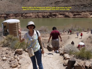
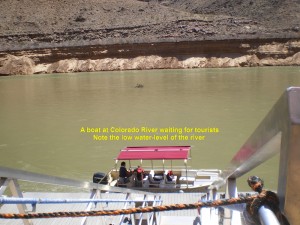
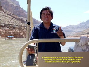
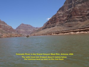
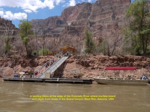
Five minutes later, we landed on a spot 200 metres away from the bank of the Colorado River in the Grand Canyon West Rim. We left the helicopter and walked to a boat. A Hualapai native manned the boat bringing us up and down the river, slowly, to see the stunning physical features of the canyon with layers of rocks of different periods being exposed and some desert plants. We noticed that the current water-level of the river was several metres below the highest one due to lack of rainfall and snowfall in the Rocky Mountains in summer.
Small Shed
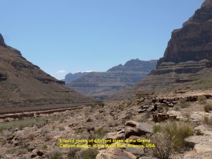
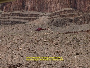
After that 20-minute boat-ride, we waited in a small shed in the hot sun for a helicopter to take us back to the airport. While waiting, I studied some plants growing in the arid area around the shed and saw some birds playing on the hot ground littered with small eroded rocks that had rolled down from the steep sides of the canyon.
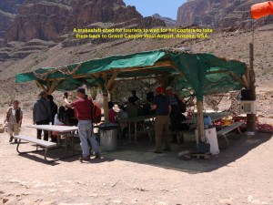
Tourists in the shed in the Grand Canyon waiting for helicopters to take them back to the Airport after a boat-ride on the Colorado River
Eagle’s Point
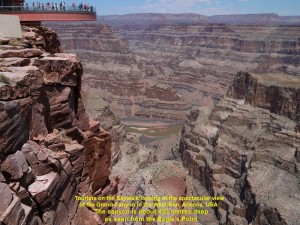
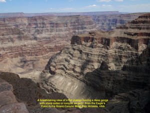
Soon a helicopter came and took us back to the airport. At the airport, our tour-guide, Jay Ho, asked us to follow him. We took a shuttle coach at the airport to Eagle’s Point by-passing the Hualapai Ranch. On arrival, we walked to the edge of the Grand Canyon and looked down at the deep, steep gorge or canyon of over 400 metres deep.
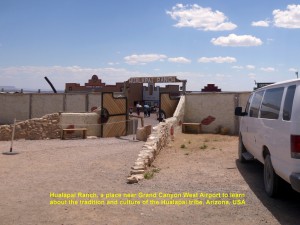
The Hualapai Ranch, a place where Hualapai’s tradition and culture can be learned in the Grand Canyon West Rim
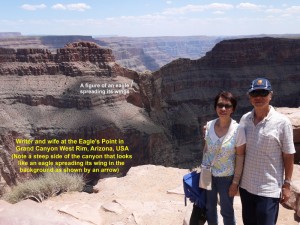
Then we saw a large rock in a shape of an eagle spreading its wings on the other side of the canyon a few hundred metres away. The place is aptly named Eagle’s Point. The Hualapai tribe consider the place sacred.
No Safety-Barrier
Several minutes later, I realised that we were standing quite close to the edge of the gorge and there was no safety-barrier along it. I was shocked to see some brave tourists sitting on the edge with their legs dangling in the canyon.
Skywalk
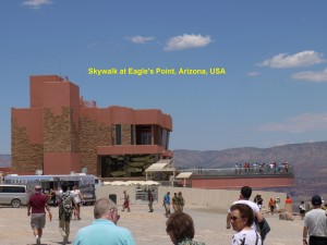
Not far from where we were standing, we saw the Skywalk. It juts out over 21 metres over the Grand Canyon and is over 400 metres above the Colorado River. It is in a shape of a horse-shoe with glass-floor and sides. It is a good place to have an awesome panoramic view of the Grand Canyon.
Four of us in our tour-group missed the chance of entering the Skywalk as we were late. We should have gone for it first and then the helicopter ride later.
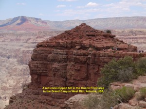
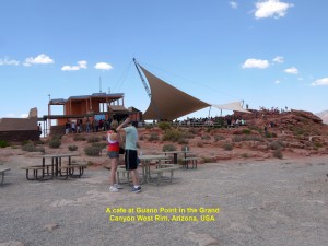
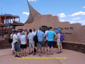
Then we left the Eagle’s Point and took a shuttle-coach to Guano Point to see another part of the Grand Canyon. The view was spectacular too.
Return to Las Vegas City
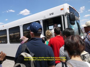
At 2 in the afternoon we returned to the Grand Canyon West Airport and waited for a shuttle coach to take us back to the Grand Canyon Ranch. After we had waited for two long hours, it finally came. We got onto it and travelled on the same, old, bumpy dirt-road again. After a 45 minute rough ride, we arrived at the Grand Canyon Ranch where we got onto our coach. Then we left the place for Las Vegas City.
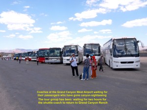
Coaches at the Grand Canyon West Airport waiting for their passengers who have gone for the canyon sightseeing
Dinner
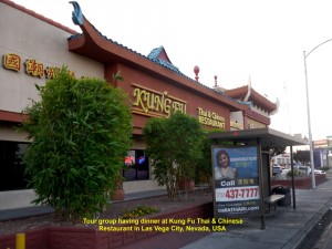
At 7 in the evening we reached the city and had dinner at a restaurant, Kung Fu Thai & Chinese Restaurant. Having filled up our empty stomachs, we returned to our hotel, Monte Carlo Hotel.
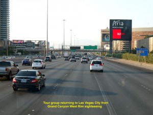
Tour group returning to Las Vegas City after an awesome sightseeing of the Grand Canyon West Rim in Arizona
Limousine Ride
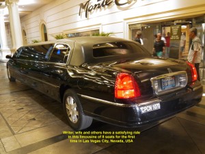
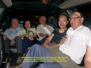
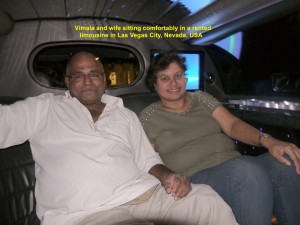
At 9.30 p.m. three couples, my wife and I in the tour group decided to rent a limousine that could bring us together for a night city sightseeing tour. An hour rental with a chauffeur cost us USD 80. It was our first unforgettable experience riding in style in a stretch limousine.
Limousines are a common sight in the city. They are long, luxury, sedan cars that are, normally, associated with wealth or power. But nowadays people can rent them for weddings, parties and city-sightseeing tour to name a few purposes.
An Iconic Sign-Board
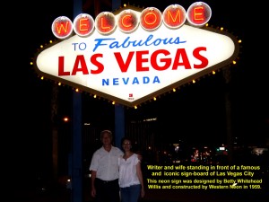
The limousine took us for a beautiful night city-sightseeing tour. It stopped at a spot for a while where a famous, iconic signboard of Las Vegas City was located. It said “Welcome to Fabulous Las Vegas Nevada” which was illuminated with neon lights. The 8 metre-high structure was created by a local designer, Betty Whitehead Willis, and constructed by Western Neon in 1959.
After riding in the long vehicle for the first time for exactly one hour, we arrived at our hotel, Monte Carlo, and went back to our rooms to rest.
(Continued in USA West Coast Travel Part IV (Las Vegas City))
Written by Choo Chaw, Kluang, Johor, Malaysia
U.S.A West Coast Travel:
Part II San Francisco, Fresno. Las Vegas
Part V Premium Outlets in S, California
Part VI Disneyland Resort, Anaheim
Part VII Hollywood Walk of Fame, Los Angeles

