USA West Coast Travel Part IV(Las Vegas City)
Filed under: USA, USA West Coast Travel Part IV(Las Vegas City)
USA West Coast Travel Part IV
{Las Vegas City)
Day 6 (Wednesday, 27.5.2014)
Las Vegas Blvd or Strip
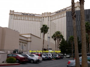
Day 6 was a free and easy day for all our tour group members. So my wife and I woke up late in the morning after a long, satisfying sleep in the comfortable bed in Monte Carlo Hotel in Las Vegas City. In fact, we needed that sleep very badly, as we had a long tiring trip to Grand Canyon on the previous day. We should say that it was our best rest since we landed in USA five days ago.
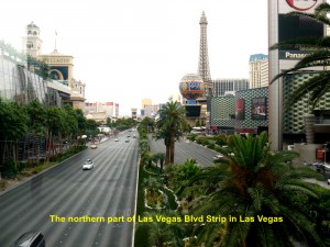
After brunch(breakfast and lunch together) at 1.30 p.m. at the hotel, we took a leisure walk along the main street of the city, Las Vegas Blvd or the Strip for a sightseeing tour.
Hotels In Las Vegas City
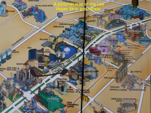
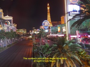
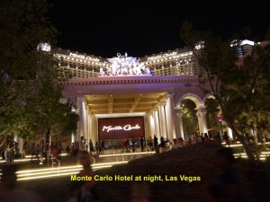
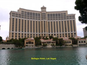
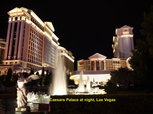
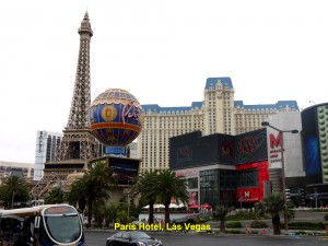
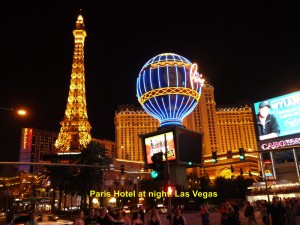
While walking along this street we were fascinated by so many luxury hotels of different shapes, sizes and architectural styles. Almost all of them had casinos. New York New York, Monte Carlo, Mandarin Oriental, The Cosmopolitan, Bellagio, Caesars Palace, Bally’s, Paris Las Vegas and The Venetian were among the large and beautiful hotels we saw. They looked grander and more majestic when they were illuminated with coloured lights at night.
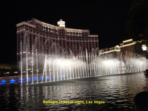
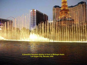
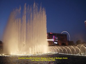
Lights on Bellagio Hotel were switched off when its musical fountain was performing “a dance” at night
Street Performers
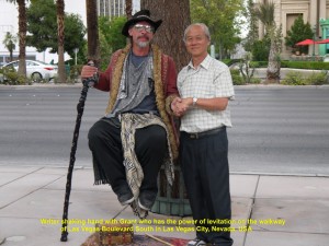
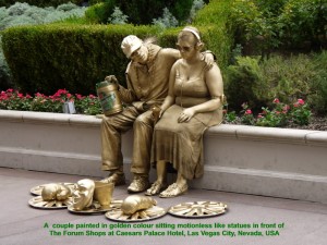
Some street performers and star-impersonators could be seen on the walkway along Las Vegas Boulevard. Generous visitors were seen putting some money into their containers in appreciation of their efforts in entertaining them.
On the walkway, I came across a man holding a long pole and floating in the air in front of Bellagio fountain. He had seemingly levitated himself. My wife took a photo of the man and myself standing beside him and holding his friendly hand.
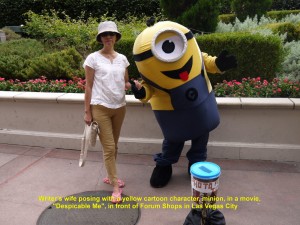
Later, I took a photo of my wife with a yellow cartoon character, minion, who could be seen in a movie, “Despicable Me”. As we were walking further down the walkway, we saw more street performers and star-impersonators.
Ancient Sculptures
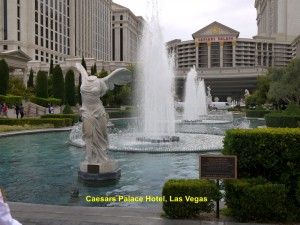
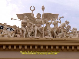
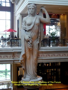
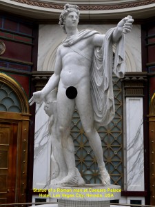
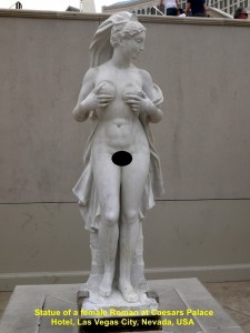
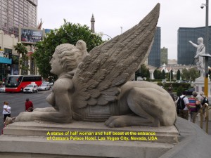
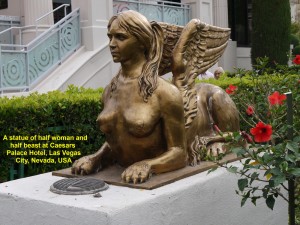
There were some hotels having ancient and beautiful sculptures that were placed inside and outside the buildings attracting visitors. The first sculpture I saw was on an arch at the entrance of Monte Carlo Hotel where we were staying. But we saw more at Caesars Palace Hotel where several statues of male and female Romans could be seen within and without. To my delight, they were all aesthetically created. Below are some photos of beautiful sculptures we saw at a few hotels in the city.
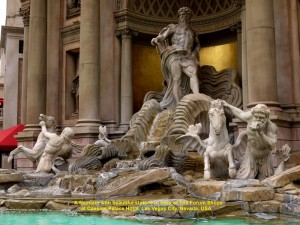
Sculpture of humans and animals in a fountain in front of The Forum Shops at Caesars Palace Hotel, Las Vegas City, Nevada, USA
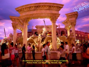
Sculpture of humans and animals in The Forum Shops at Caesars Palace Hotel, Las Vegas City, Nevada, USA
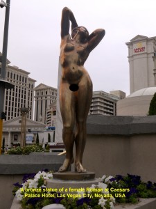
A bronze statue of a beautiful body of a Roman lady at Caesars Palace Hotel, Las Vegas City, Nevada, USA
Entertainment Capital of the World
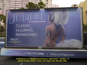
Every night, large hotels in Las Vegas City have many kinds of entertainment, like shows with dancing and singing, acrobatics, magics, dramas, comedies and concerts, to name a few. Besides, there are adult shows, like “Fantasy”, “Crazy Girls” and “Jubilee”. Hence, the city is considered the Entertainment Capital of the World.
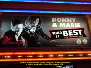
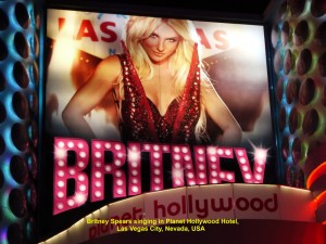
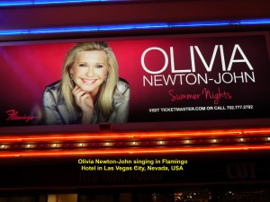
Most of the performers in Las Vegas are famous in the world, for example the singing brother and sister team, Marie and Donny Osmond, Celine Dion, Britney Spears, Oliver Newton-John, David Copperfield and many more.
“Jubilee”
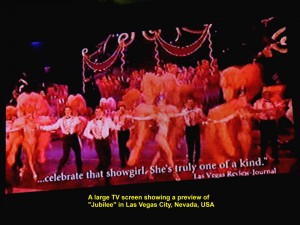
At 7 p.m. a few of us went for an adult show, “Jubilee”, in Jubilee Theatre in Bally’s Hotel. It was an extravaganza show involving about 100 showgirls and showboys in classic costumes. Pretty girls were wearing dazzling costumes sewn with sequins and long, large, colourful feathers. As they were dancing and kicking their legs, gracefully, they enchanted the whole audience throughout the show. It included two short interesting plays: “The Sinking Titanic” and “Samson and Delilah”. Although it lasted for 45 minutes it was awesome.
After the show we went back to our hotel, Monte Carlo, and stayed there for the last night in Las Vegas City.
(Continued in USA West Coast Travel Part V (Premium Outlets, S. California))
U.S.A West Coast Travel:
Part II San Francisco, Fresno. Las Vegas
Part V Premium Outlets in S, California
Part VI Disneyland Resort, Anaheim
Part VII Hollywood Walk of Fame, Los Angeles
Part VIII Universal Studios Hollywood
Part IX Universal Studios Hollywood Theme Park
USA West Coast Travel Part III (Grand Canyon)
Filed under: USA, USA West Coast Travel Part IV (Las Vegas City)
USA West Coat Travel Part III (Grand Canyon)
Day 5 (Tuesday, 27.5.2014)
Las Vegas City – Grand Canyon
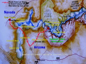
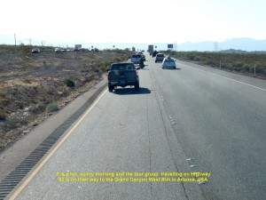
Tour group taking a route, Highway 93, from Las Vegas City in Nevada to Grand Canyon in Arizona, USA
At 7 in the morning of Day 5, we left Las Vegas City for the spectacular view of the Grand Canyon in the West Rim in Arizona. First, we were heading south-eastwards on Highway 93.
Lake Mead & Hoover Dam
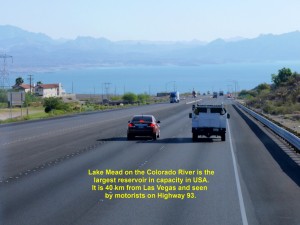
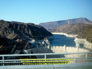
Half an hour later we saw a large lake, Lake Mead, which is on the Colarado River and the largest reservoir in capacity in USA. Located about 40 km from Las Vegas City, the river receives rainfall and snowfall in the Rocky Mountain areas and flows into the lake. The lake is blocked by a large dam, Hoover Dam, that was built in the years 1931-1936 during the Great Depression on the California-Nevada border to meet the demands for water and electricity in California, Nevada and Arizona. It is a popular tourist attraction.
Grand Canyon Ranch
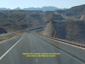
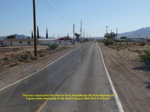
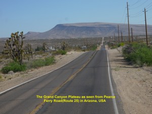
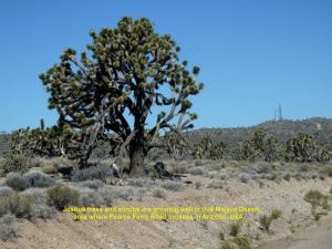
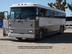
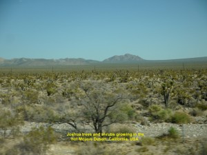
As Hoover Dam was not on our itinerary, we continued travelling southwards on Highway 93. At 7.40 a.m. we crossed the California-Nevada border where Hoover Dam was sited. After crossing a mountainous area and then low, flat valley, we turned east into a narrow road, Pearce Ferry Road(Route 25). It crossed a Mojave Desert area where large Joshua trees and shrubs were growing well. At 9 a.m. we stopped at a place, Grand Canyon Ranch, in the Hualapai Indian Reservation in Arizona where we alighted our coach and waited for a shuttle-coach to take us to Grand Canyon West Airport.
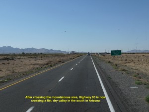
After crossing a mountainous area, Highway 93 is now crossing a dry, flat valley in South Arizona, USA
E. Diamond Bar Road
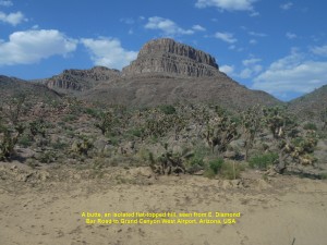
Several minutes later, it came and we boarded it. As a new road, E. Diamond Bar Road was under construction, it travelled on a bumpy dirt road until we came to a good road, Buck and Doe Road, which led us to the Grand Canyon West Airport. As we were travelling on Buck and Doe Road, we saw some scenic views like buttes which were flat-topped, isolated hills, undulating desert areas with Joshua trees and shrubs, and plateaus.
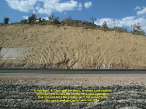
As a new road, E. Diamond Bar Road, is under construction, the tour group is travelling on a bumpy, dirt road to the Grand Canyon West Airport in Arizona, USA
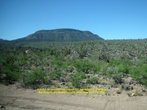
A butte, a flat topped-hill in the Grand Canyon area, as seen from E. Diamond Bar Road, Arizona, USA
Grand Canyon West Airport
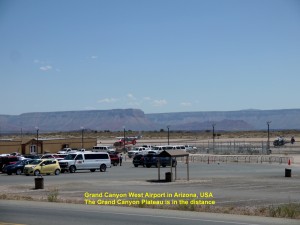
On arrival at the Grand Canyon West Airport at 10 a.m., we saw many tourists waiting for their transport to the Grand Canyon viewing spots, Eagle’s Point and Guano Point, and Hualapai Ranch where they could learn about the tradition and culture of the Hualapai tribe.
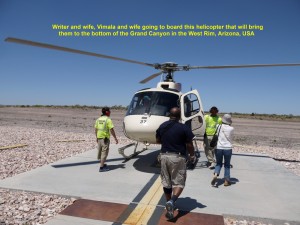
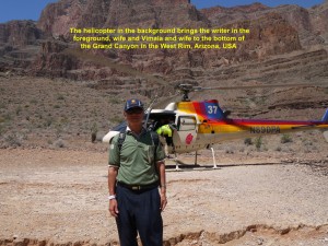
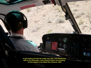
Four of us in our tour group, Vimala and his wife, my wife and I together took a helicopter ride to see the aerial view of the Grand Canyon, while the others travelled by shuttle-coaches to the two spots, Eagle Point and Guano Point, to see the Grand Canyon and the Hualapai Ranch.
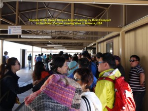
Tourists at the Airport waiting for their transport to the Grand Canyon visiting spots in Arizona, USA
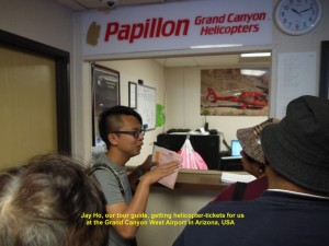
Jay Ho, the tour group guide, buying helicopter-tickets for some members at the Airport, Arizona, USA
Helicopter Ride
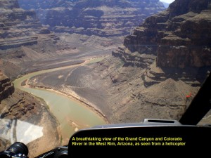
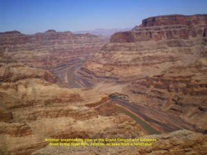
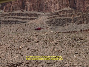
At 11.00 a.m. we boarded a helicopter and flew low over a flat, vast, barren land. A minute later, we were awe-stricken when we saw below us through the transparent windows and doors an awesome view of one of the Nature’s beautiful creations, the Grand Canyon.
Formation of Grand Canyon
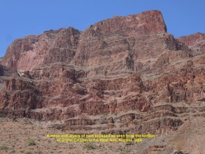
According to some geologists, the Grand Canyon area was a high plateau raised by the pressure under the earth’s crust about 16 million years ago. Then 6 million years ago a river, Colorado River, appeared and started to cut across it, continuously, and, finally, reaches the present bottom level several hundred metres below the surface. The river continues to deepen the canyon while its walls keep widening by weathering forces. The Grand Canyon is now 446 km long, and can be as wide as 29 km and as deep as over 1 800 metres. It is an ideal place for geologists to study the history of the earth as its steep sides expose layers of rocks of different geological periods.
Grand Canyon Scenic View
As we were flying in between the sides of the canyon and over the Colorado River below, we could not take our eyes away for a moment from the spectacular sight of the canyon. Flat, table-like land masses with steep sides(mesas), isolated flat-topped hills(buttes), the deep canyon(gorge) and the slow-flowing Colorado River were beautiful physical features that we were seeing.
Colorado River Boat Ride
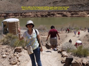
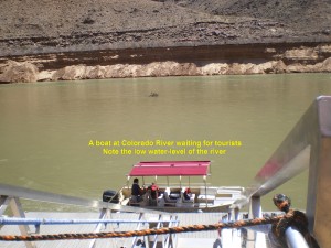
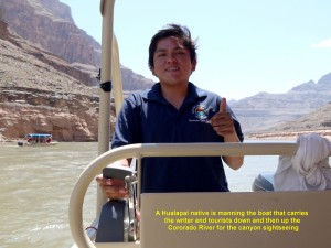
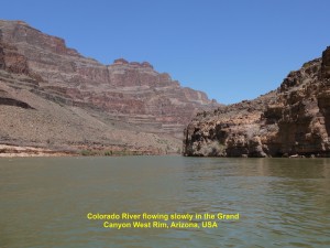
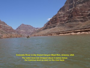
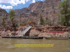
Five minutes later, we landed on a spot 200 metres away from the bank of the Colorado River in the Grand Canyon West Rim. We left the helicopter and walked to a boat. A Hualapai native manned the boat bringing us up and down the river, slowly, to see the stunning physical features of the canyon with layers of rocks of different periods being exposed and some desert plants. We noticed that the current water-level of the river was several metres below the highest one due to lack of rainfall and snowfall in the Rocky Mountains in summer.
Small Shed
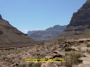
After that 20-minute boat-ride, we waited in a small shed in the hot sun for a helicopter to take us back to the airport. While waiting, I studied some plants growing in the arid area around the shed and saw some birds playing on the hot ground littered with small eroded rocks that had rolled down from the steep sides of the canyon.
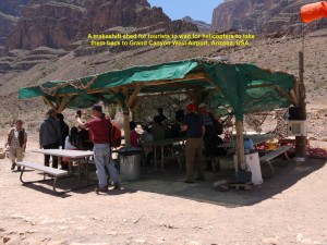
Tourists in the shed in the Grand Canyon waiting for helicopters to take them back to the Airport after a boat-ride on the Colorado River
Eagle’s Point
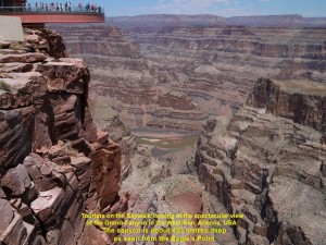
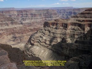
Soon a helicopter came and took us back to the airport. At the airport, our tour-guide, Jay Ho, asked us to follow him. We took a shuttle coach at the airport to Eagle’s Point by-passing the Hualapai Ranch. On arrival, we walked to the edge of the Grand Canyon and looked down at the deep, steep gorge or canyon of over 400 metres deep.
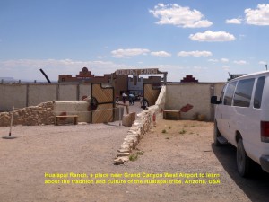
The Hualapai Ranch, a place where Hualapai’s tradition and culture can be learned in the Grand Canyon West Rim
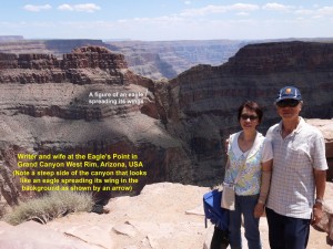
Then we saw a large rock in a shape of an eagle spreading its wings on the other side of the canyon a few hundred metres away. The place is aptly named Eagle’s Point. The Hualapai tribe consider the place sacred.
No Safety-Barrier
Several minutes later, I realised that we were standing quite close to the edge of the gorge and there was no safety-barrier along it. I was shocked to see some brave tourists sitting on the edge with their legs dangling in the canyon.
Skywalk
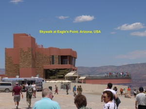
Not far from where we were standing, we saw the Skywalk. It juts out over 21 metres over the Grand Canyon and is over 400 metres above the Colorado River. It is in a shape of a horse-shoe with glass-floor and sides. It is a good place to have an awesome panoramic view of the Grand Canyon.
Four of us in our tour-group missed the chance of entering the Skywalk as we were late. We should have gone for it first and then the helicopter ride later.
Then we left the Eagle’s Point and took a shuttle-coach to Guano Point to see another part of the Grand Canyon. The view was spectacular too.
Return to Las Vegas City
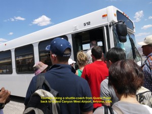
At 2 in the afternoon we returned to the Grand Canyon West Airport and waited for a shuttle coach to take us back to the Grand Canyon Ranch. After we had waited for two long hours, it finally came. We got onto it and travelled on the same, old, bumpy dirt-road again. After a 45 minute rough ride, we arrived at the Grand Canyon Ranch where we got onto our coach. Then we left the place for Las Vegas City.
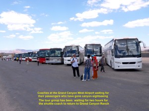
Coaches at the Grand Canyon West Airport waiting for their passengers who have gone for the canyon sightseeing
Dinner
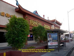
At 7 in the evening we reached the city and had dinner at a restaurant, Kung Fu Thai & Chinese Restaurant. Having filled up our empty stomachs, we returned to our hotel, Monte Carlo Hotel.
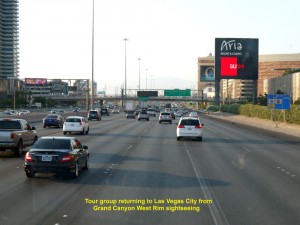
Tour group returning to Las Vegas City after an awesome sightseeing of the Grand Canyon West Rim in Arizona
Limousine Ride
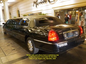
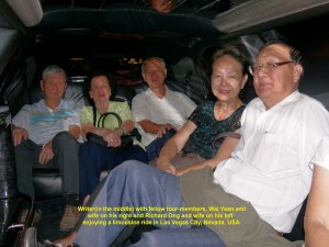
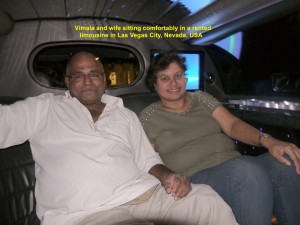
At 9.30 p.m. three couples, my wife and I in the tour group decided to rent a limousine that could bring us together for a night city sightseeing tour. An hour rental with a chauffeur cost us USD 80. It was our first unforgettable experience riding in style in a stretch limousine.
Limousines are a common sight in the city. They are long, luxury, sedan cars that are, normally, associated with wealth or power. But nowadays people can rent them for weddings, parties and city-sightseeing tour to name a few purposes.
An Iconic Sign-Board
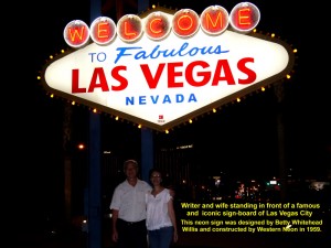
The limousine took us for a beautiful night city-sightseeing tour. It stopped at a spot for a while where a famous, iconic signboard of Las Vegas City was located. It said “Welcome to Fabulous Las Vegas Nevada” which was illuminated with neon lights. The 8 metre-high structure was created by a local designer, Betty Whitehead Willis, and constructed by Western Neon in 1959.
After riding in the long vehicle for the first time for exactly one hour, we arrived at our hotel, Monte Carlo, and went back to our rooms to rest.
(Continued in USA West Coast Travel Part IV (Las Vegas City))
Written by Choo Chaw, Kluang, Johor, Malaysia
U.S.A West Coast Travel:
Part II San Francisco, Fresno. Las Vegas
Part V Premium Outlets in S, California
Part VI Disneyland Resort, Anaheim
Part VII Hollywood Walk of Fame, Los Angeles
Part VIII Universal Studios Hollywood
Part IX Universal Studios Hollywood Theme Park
USA West Coast Travel Part II (San Francisco-Fresno-Las Vegas)
Filed under: USA, USA West Coast Travel (Part II}, USA West Coast Travel Part II (San Francisco - Las Vegas)
USA West Coast Travel Part II (San Francisco-Fresno-Las Vegas)
Day 3(Sunday, 25.5.2014)
San Francisco – Monterey
(185 km)
California
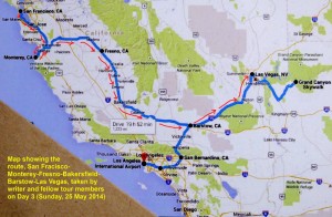
Route from San Francisco to Las Vegas via Monterey taken by tour group on Day 3(Sunday, 25 May 2014)
Chinatown in San Francisco
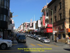
In the morning of Day 3, we went to a Chinese restaurant, P & R Restaurant, along Kearny Street, in Chinatown in San Francisco City to have breakfast. We had ‘dim sum’, a Chinese breakfast that included “chia siu pau”(steamed barbecue pork dumplings), chicken legs, “low mai gai” (sticky rice wrapped in lotus leaves), “har gau”(shrimp dumplings), pork ribs and tea.
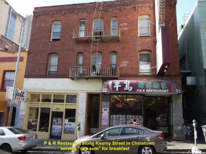
Tour group having “dim sum” breakfast at P & R Restaurant, a Chinese restaurant in Chinatown, San Francisco City, USA
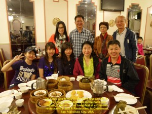
Writer with some fellow-tour members having “dim sum” at P & R Restaurant, Chinatown, San Francisco City, USA
After that simple meal at 9.30 a.m., we left San Francisco City and moved southwards to Pebble Beach which was more than 180 km away.
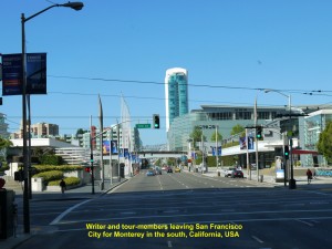
Tour group is leaving San Francisco City for Pacific Glove and Pebble Beach in the south, California, USA
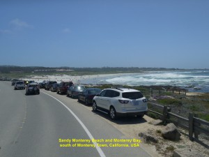
First, we were travelling on South Valley Highway and saw San Francisco Bay on our left. Then we were on Cabrillo Highway that crossed an undulating land. Soon it was running parallel to the Monterey Bay coastline.
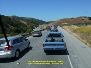
Tour group travelling on Cabrillo Highway that crosses undulating land to Monterey in the south, California, USA
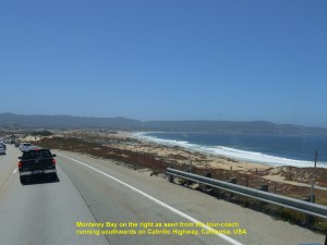
Tour group travelling south to Pebble Beach on Cabrillo Highway that runs parallel to the Monterey Bay coastline, California, USA
Monterey Town
At 1.00 p.m. we arrived at Monterey Town and had lunch at a restaurant, Chinese Garden Restaurant.
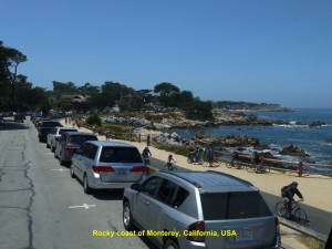
An hour later we resumed our journey. We passed New Fisherman’s Wharf and rocky coast of Monterey Town.
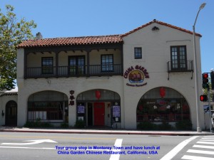
Tour group have lunch at this Chinese restaurant, Chinese Garden Restaurant, in Monterey Town, California, USA
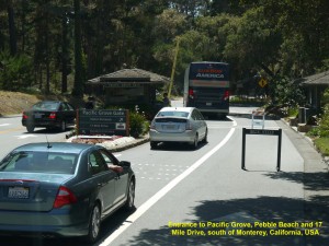
Several minutes later, we came to a toll-gate. When our coach-driver had paid a fee at the gate he drove us on and entered Pacific Grove on the Monterey Peninsula. This place is well-known for Victorian houses and monarch butterflies that migrate there in large numbers, annually.
17 Mile Drive
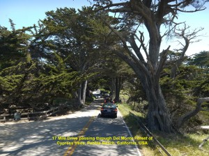
Then we were travelling on a coastal road, 17 Mile Drive. This road passes by scenic coasts of Pacific Ocean, through Del Monte Forest of Cypress trees, famous golf-courses and large luxurious mansions.
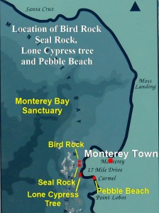
Bird Rock and Seal Rock
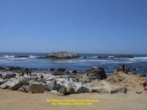
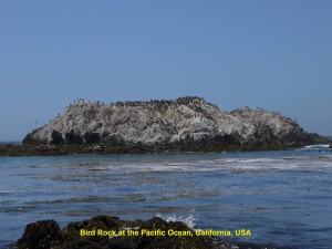
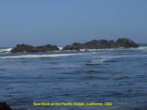
After travelling a few kilometres of the road from the toll-gate, we stopped at a beach for a while to see two significant barren rocks at the Monterey Bay Sanctuary about 200 metres off the beach. One was inhabited by seagulls, pelicans and cormorants, and is known as Bird Rock, whereas the other one was occupied by seals and therefore known as Seal Rock. The Bird Rock was almost completely white as it had been covered with a thick layer of birds’ droppings over many years. Besides the birds and seals we saw on the rocks, we also saw some furry squirrels running about on the sandy beach without fear of human beings.
Lone Cypress
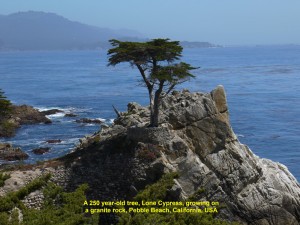
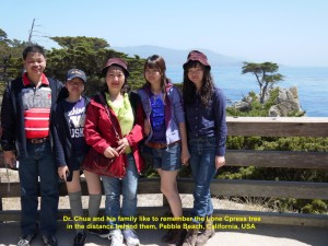
Then we continued our journey. Later, we passed through Del Monte Forest of cypress trees and went to a high ground where we alighted our coach. Standing on the edge of a cliff, we saw a tree standing alone in a distance on a rugged, bare, granite headland at Carmel Bay, and felt its loneliness. Being known as “Lone Cypress”, it was believed to be 250 years old and hoped it would live for another 50 years.
Pebble Beach
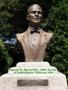
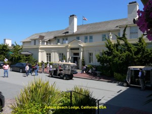
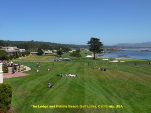
Then we went to Lodge and Pebble Beach Golf Links(a golf course) which were near the lonely cypress tree. They belong to Pebble Beach Company which was founded by Samuel F.B. Morse in 1919. The company also owns 5 300 acres of Del Monte Cypress Forest, Pacific Grove and Pebble Beach areas, Del Monte Rancho, Hotel Del Monte, and a few more properties on Monterey Peninsula. It is interesting to note that it has made the picture of Lone Cypress as its logo.
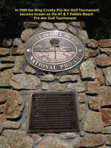
Pebble Beach Lodge is a place for shopping and dining. Besides, it has a world-famous golf course which is known as Pebble Beach Golf Links. It holds AT & T Pebble Beach National Pro-Am Tournament, annually. Besides, it has held five prestigious US Open Championships. The former tournament replaced Bing Crosby Pro-Am Golf Tournament(1937 – 1985) in 1986.
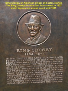
Bing Crosby(1904 – 1977), an American singer and actor, started the annual event “Bing Crosby Pro-Am Golf Tournament” in 1937 until 1985.
Pebble Beach Golf Links is a beautiful, well-maintained golf course located by a rugged coastline facing the Carmel Bay and south of Monterey Town.
Casa de Fruta
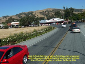
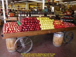
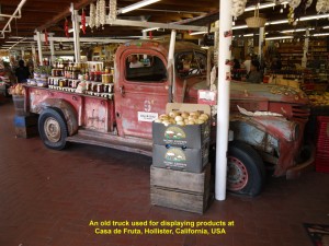
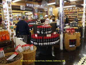
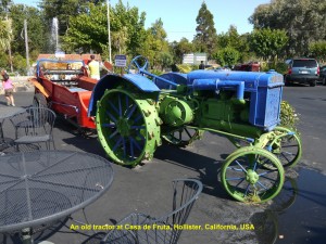
After spending several minutes at the lodge and the golf course, we travelled eastwards at 3.30 p.m. to Fresno which is over 200 km from Pebble Beach. At 5.00 p.m. we stopped at a fruit-shop known as Casa de Fruta which was selling all kinds of fruits, like peaches, apricots, oranges, plums, apples, etc. Besides, it was selling dried fruits, nuts, wine, etc.
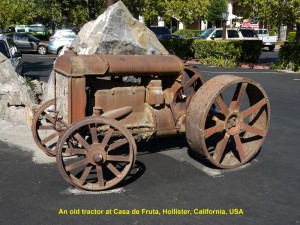
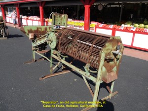
In its compound it exhibited some old but interesting agricultural machines and vehicles, such as old tractors, “separator”, trucks and ground levelling machine, to name a few.
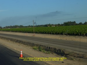
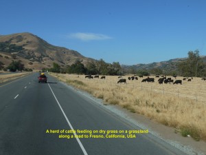
At 5.30 p.m. we left the fruit shop. On the way to Fresno, we saw orchards along the road and a herd of cattle on grassland, and the weather was hot. Fortunately, we were travelling in an air-con coach.
San Luis Reservoir
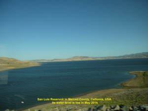
Soon we saw a large reservoir with low water-level due to dry season. It was San Luis Reservoir, an artificial lake, and its water is used for farm irrigation and other purposes.
Fresno
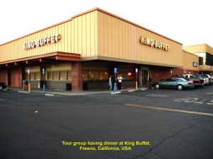
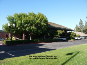
At 7 p.m. we, finally, arrived at Fresno and had a buffet dinner at a restaurant, King Buffet. After dinner we went to an inn nearby, Piccadilly Inn, where we stayed overnight.
Day 4 (Monday, 26.5.2014)
Fresno – Las Vegas
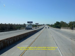
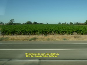
At 8.30 a.m. of Day 4, we left Fresno for Bakersfield. We were travelling south-east on a highway, Golden State Highway(Route 99), which was on a flatland. It passed through orchards, farmlands and small towns.
California Aqueduct
As rainfall in these areas in Southern California is little, they get water from the California Aqueduct. The aqueduct is a system of canals, tunnels, and pipelines that transport water collected from the Sierra Nevada Mountains and valleys of Northern and Central California to dry lands in Southern California.
Apple Annie’s Restaurant
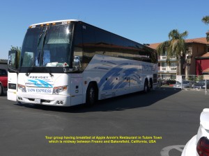
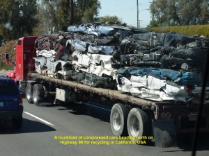
At 9.30 p.m. we reached Tulare Town where we stopped at a restaurant, Apple Annie’s Restaurant, for breakfast. Several minutes later, we were off again on the same highway. At one time I saw a truck on the road carrying more than 30 cars, but those cars had already been reduced in size and on the way to a factory for recycling.
Murray Family Farms
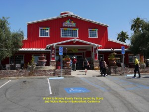
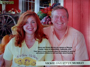
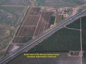
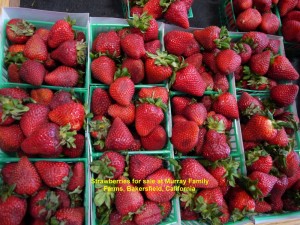
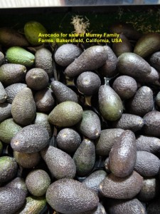
At 11.00 a.m. we arrived at Bakersfield where we visited a farmland, Murray Family Farms, belonging to a couple, Steve and Vickie Murray. Besides fruits, the couple also planted vegetables in their farms. They had built a large building which was painted bright red in front. It housed a restaurant and place where their produce from their farms was displayed for sale. Their farmland had become a popular place where travellers like to visit for a short while.
As the farm had two corn mazes, petting zoo, ant farm, butterfly house, “pick-your-own-fruits” areas and a few more interesting places, it attracted school-children too.
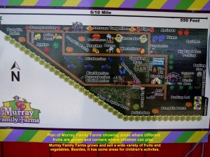
Plan of Murray Family Farms showing fruit and vegetable growing areas and children’s activity corners
Wind Turbines
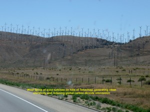
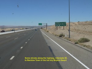
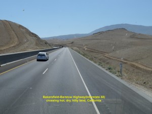
After spending several minutes at Murray Family Farms, we continued our journey. We travelled eastwards on a highway, Interstate 58. While travelling across the hilly, hot, dry land, we did not see any vegetation. Several minutes later, we saw some trees and shrubs growing on hills and flat land, and passed through a few small towns. Later, in Tehachapi, we saw countless number of wind turbines on hills spinning to generate clean electricity and reduce emission of hundreds of thousands of tons of carbon dioxide, annually.
Barstow Town
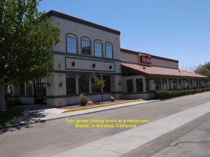
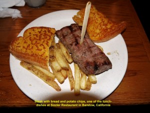
At 1 p.m. we arrived at Barstow Town and stopped at a restaurant, Sizzler, to have steak with bread and potato chips, salad and ice-cream for lunch. Then at 2 p.m, we continued our journey travelling on another highway, Interstate 15.
Tanger Outlets
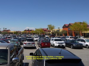
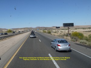
Several minutes later, we came to a shopping centre, Tanger Outlets, where 36 shops were selling accessories, jewellery, apparel, footwear, etc. The temperature there shot up to 39 degrees Celsius and the heat was, extremely, unbearable! At 4 p.m. we moved on again. We were crossing a hot, uninhabitable land of Mojave Desert.
Valley Wells
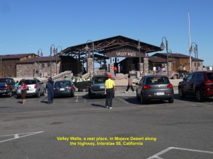
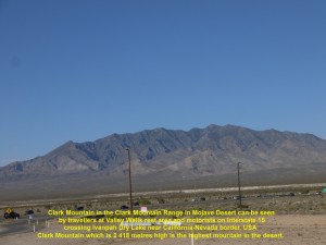
At about 5 p.m. we arrived at a rest area, Valley Wells, in the Mojave National Preserve and answered a call of nature. No dwellings except desert shrubs, Joshua trees, sand and distant barren hills were seen in the hot desert area. A mountain range, Clark Mountain Range, could be seen in the distance from the Valley Wells rest area and highway, Interstate 15. The highest mountain of the range, Clark Mountain, which was 2 418 metres high was the highest mountain in Mojave Desert in California.
Ivanpah Solar Power Plant
Several minutes later, we resumed our journey. At 5.30 p.m. we saw an extremely bright area in the distance in Ivanpah Valley which was about 8 km from California-Nevada border. It was a solar power plant consisting of thousands of large mirrors that focused the sun’s energy on solar receivers atop power towers generating electricity that could meet the need of 140 000 homes. It was the largest solar thermal power plant in the world.
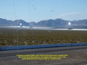
A solar power plant, the world largest plant, in the Ivanpah Valley near the California-Nevada border, USA
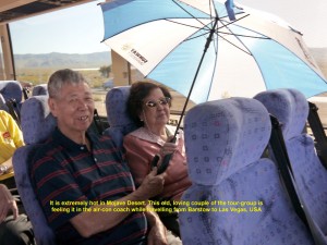
A loving, old couple of the tour group are feeling hot in the air-con coach while crossing the Mojave Desert in California
Primm and Jean
Soon we reached the California-Nevada border. As we crossed the border we entered a town, Primm, in Neavada where there were hotels and casinos. Later, we passed by another town, Jean, in Nevada where there were hotels and casinos too. Those places tempted residents in California to cross the border and gamble at their casinos. Gambling in Nevada state is legal. The Great Depression of 1929 and Hoover Dam Project(1931-36) led to the legalisation of gambling in Nevada in 1931. Now tax on gambling contributes the largest portion of the income of Nevada.
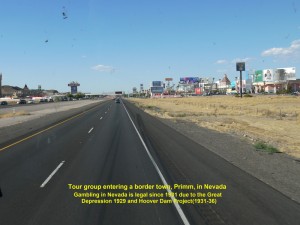
Tour group entering a California-Nevada border town, Primm, in Nevada where hotels and casinos attract Californians
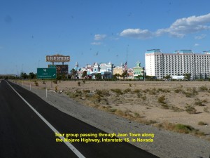
Tour group came across another town, Jean, in Nevada where hotels and casinos exist, especially, for Californians.
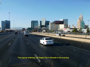
Las Vegas City, Nevada
After a whole day of travelling, we finally arrived at our destination, Las Vegas, at 6.20 p.m.
Located in Mojave Desert in Clark County in Nevada, Las Vegas was established in 1905. With a population of more than half a million, it is a well-known city in the world for gambling, shopping, dinning and nightlife. Besides, it is a popular place for conventions, business and meetings. It is known as the “Entertainment Capital of the World”. It is also known as the “Sin City” because it has various kinds of adult entertainment.
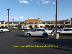
Chinatown, Las Vegas City
After entering Las Vegas, we went straight to Chinatown to have a Chinese dinner at Harbor Palace Seafood Restaurant. The meal was delicious and the dish that I like best was roasted Peking duck.
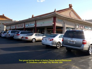
Tour group having dinner at Harbor Palace Seafood Restaurant in Chinatown, Las Vegas City, Nevada, USA
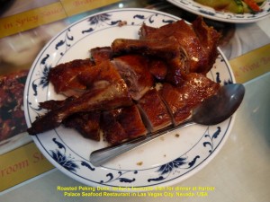
Writer’s favourite dish at Harbor Palace Seafood Restaurant in Chinatown, Las Vegas City, Nevada, USA
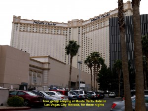
Monte Carlo Hotel
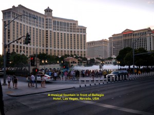
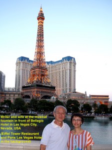
After dinner we went to one of the grand hotels in the city, Monte Carlo. where we would stay for three nights. When we had left our luggage in our respective rooms in the hotel, Wang, our coach driver, brought us to a place to see a musical fountain. It was in front of a luxurious hotel, Bellagio Hotel.
Musical Fountain
The fountain is in a man-made lake consisting of more than 1 200 nozzles that can shoot water as high as 140 metres, and 4 500 lights that will coordinate with the nozzles during the “action”.
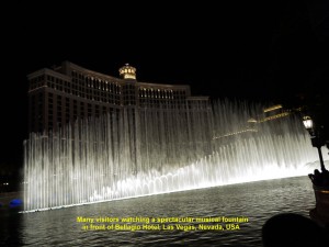
At 8 p.m. sharp, the musical fountain started to show off its splendid dance in front of Bellagio Hotel in Las Vegas City
At 8 p.m. sharp, the musical fountain surrounded by many visitors started to show off its splendid watery dance with the accompaniment of thousands of bright lights and some soft musics, like “Time to Say Goodbye”,”Proud to be an American”, “Your Song”, “Viva Las Vegas” and “My Heart Will Go On”. We and other visitors were delighted for five minutes watching the spectacular fountain display.
Bellagio Hotel
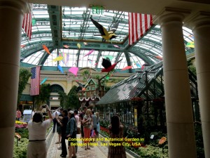
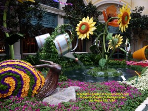
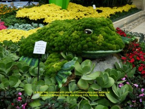
When the musical fountain elegant performance ended we went inside Bellagio Hotel and visited its Conservatory and Botanical Garden. It is a place that undergoes changes five times a year according to the four seasons and the Chinese New Year.
When we entered the place we thought we were in a paradise for one moment. The place was awesome. It was full of different kinds of colourful flowers in full bloom as it was spring time. Besides, there were some large animal-figures like frogs and snails and two life-size horses that add variety to the colourful place. Some figures were covered with flowers or plants including a frog and two snails. Small non-flowering plants were growing in a small conservatory in the centre of the place.
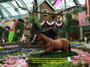
Conservatory and Botanical Garden growing flowering and non-flowering plants in Bellagio Hotel, Las Vegas City
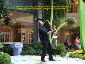
A musician entertaining visitors in Conservatory and Botanical Garden area in Bellagio Hotel, Las Vegas City, Nevada, USA
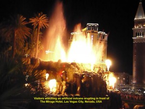
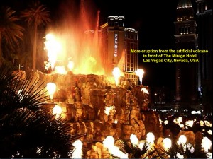
“Volcano” at Mirage Hotel
Then we left the place and went to another hotel, The Mirage, to watch an artificial volcano that could “erupt”. When we arrived at the hotel, we were in time to watch the volcano starting to spill out fire and “lava”, and then “eruption” occurred several times. Whenever it “erupted” a big fire covered a large area making spectators feel hot. The “volcanic activity” lasted for about seven minutes.
After that fiery “volcanic eruption” show, we went to an old street, Fremont Street, in Las Vegas Downtown, where the old hotels and casinos still existed. It was once a popular tourist place until the Strip which was a stretch of South Las Vegas Boulevard was opened. There were larger and more hotels and casinos in the Strip area.
Fremont Street Experience
To lure the tourists back, a stretch of Fremont Street was given a face-lift in 1994. A canopy of 460 metres long and 27 metres high covered the street making it a pedestrian mall or Fremont Street Pedestrian Mall or Fremont Street Experience. Besides, the canopy was a LED screen, the longest in the world, consisting of over 12 millions LED lights. The screen would hold shows, several minutes each time and once in every hour from dusk until midnight. There were two stages where concerts were held every night. Consequently, the street was crowded with tourists again.
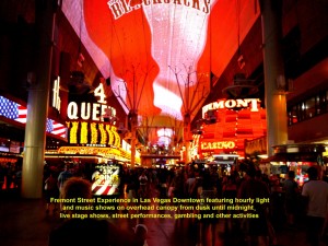
Fremont Street Experience in Fremont Street in Las Vegas Downtown introduced in 1994 attracting tourists. The overhead canopy LED screen is the longest in the world.
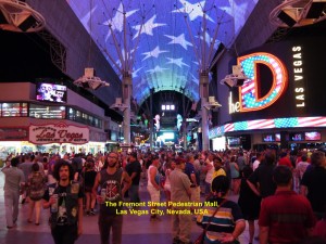
Fremont Street Experience in Las Vegas Downtown providing visitors many experiences in canopied Fremont Street
At 9.30 p.m. we arrived at a place near Fremont Street and alighted the coach. Then we walked to the canopied street. As we entered the street we saw a large crowd watching a few singers on a stage singing country songs to the accompaniment of a band.
While walking further down the street we saw street entertainers, man and ladies impersonating famous film-stars and singers, “transformers”, etc.
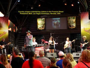
Country singers entertaining visitors in Fremont Street Pedestrian Mall in Las Vegas Downtown, Nevada, USA
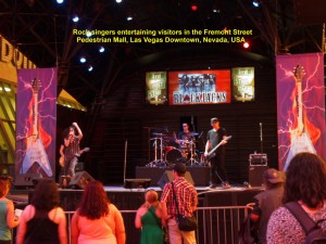
Rock singers entertaining visitors in the Fremont Street Pedestrian Mall in Las Vegas Downtown, Nevada, USA
But we were shocked to see some men and ladies dressed in “bling, bling” costumes that did not cover much of their bodies. They were inviting visitors to take photos with them for a fee. Then suddenly bright lights went off and the overhead long LED screen began a show that lasted for a few minutes. It showed interesting colourful images of the past, present and future developments.
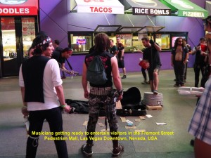
Musicians getting ready to entertain visitors in the Fremont Street Pedestrian Mall in Las Vegas Downtown, Nevada, USA
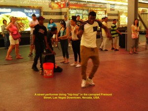
A street performer doing a hip-hop dance in the Fremont Street Pedestrian Mall in Las Vegas Downtowm, Nevada, USA
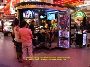
An artist doing funny caricatures of visitors in his mini-studio in the Fremont Street Pedestrian Mall in Las Vegas Downtown, Nevada, USA
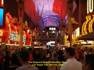
The Fremont Street Pedestrian Mall in Las Vegas Downtown where visitors can experience many activities
At 10.30 p.m. we left the Fremont Street Pedestrian Mall, boarded our coach, and went back to our hotel, Monte Carlo Hotel, which was a kilometre away, to rest our tired bodies.
(Continued in USA West Coast Travel Part III (Grand Canyon, Arizona))
U.S.A West Coast Travel:
Part II San Francisco, Fresno. Las Vegas
Part V Premium Outlets in S, California
Part VI Disneyland Resort, Anaheim
Part VII Hollywood Walk of Fame, Los Angeles

